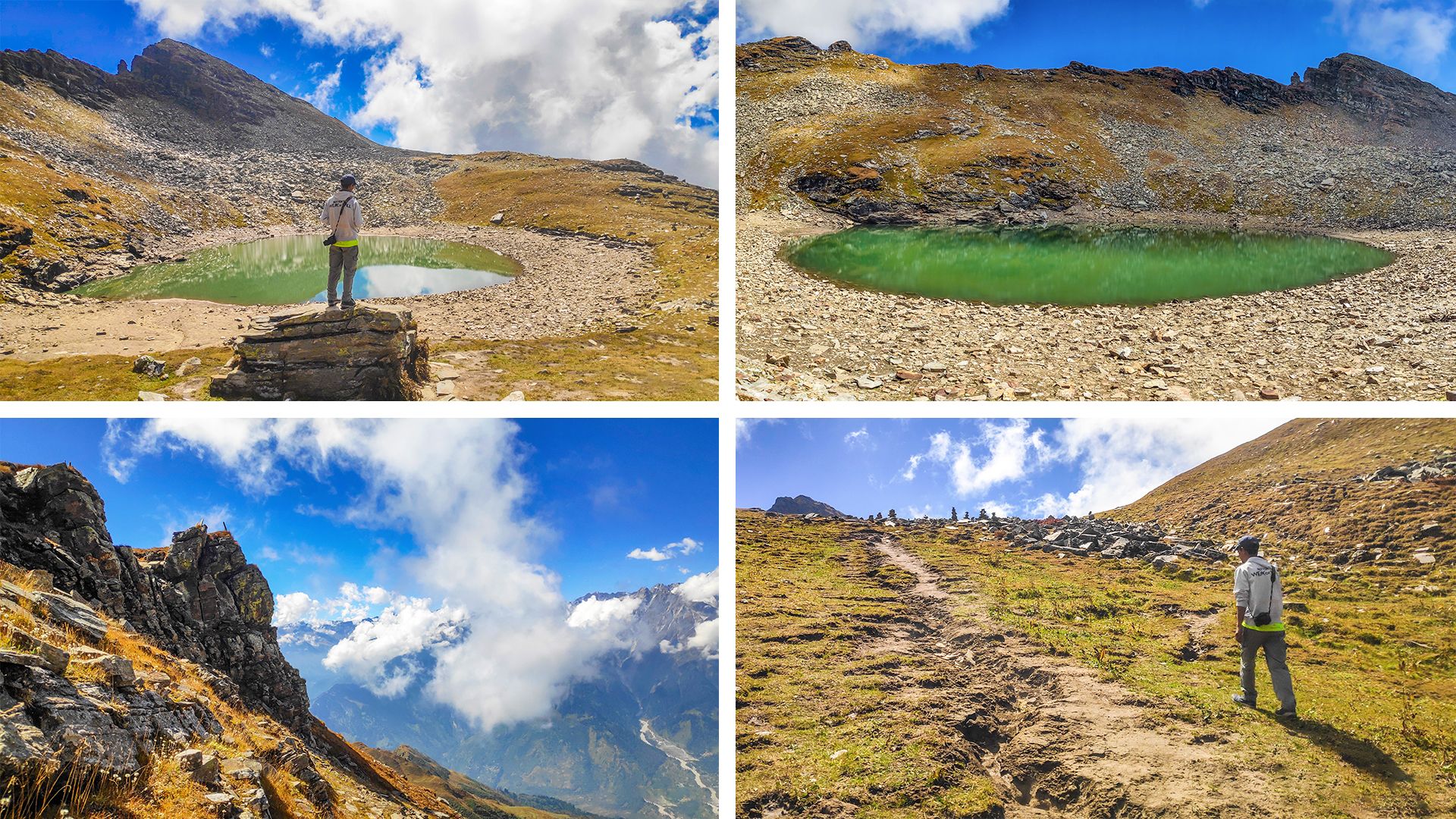
It has been many days since I started this series and it has been 2 days since I started my journey from Solang to Bhrigu. Today I will finally reach Bhrigu Lake which is located at an altitude of 4250 meters. In this trip, we walked from Solang Valley to an unknown campsite where after drinking tea, we moved forward to reach Ravali Kholi where we rested for a while and then moved towards our destination. So let's go and visit the holy Bhrigu Lake.

Ravali Kholi is located at 3128 meters, there is sunshine, flowing stream, mountains and movement of clouds. We three people are lying on the green grass drying due to cold, everyone gets up on my request. If we keep lying like this, we will be late in reaching Bhrigu Lake which is still 3 km away from here. It is difficult to say when clouds will come on this part of the mountain, hikers lose their way here because white out happens very quickly here.
Crossing the Rawli Nala, we start climbing again, the lake is 3 km from here and I think we will reach Bhrigu lake in maximum 3 hours. Now the first target is to reach the cairn located 500 meters away, about 70 meters of the road ahead of the cairn is plain. After reaching the cairn site, we take a break, drink water and look back where the king of Lahaul “Ghepan” is visible. The height of Ghepan mountain is 5870 meters.
Ghepan with clouds is looking very calm along with other 2 twin peaks, while Hanuman Tibba is monitoring his kingdom above Solang valley. We move forward with folded hands in front of the mountains. @naveen.jogta and Ved are walking ahead while I am following these two. The lake is now only 2 km away from here. We are above the tree line, there is a little difficulty in climbing here because there is less oxygen here.
We reach Bhrigu Lake half an hour before the scheduled time. The height of Bhrigu Lake is 4250 meters above sea level. This place has religious importance in the eyes of the locals. Locals come here in summer and worship the lake. This lake is located in Kullu region of Himachal Pradesh, it is 8 km away from Gulaba on foot, east of Rohtang Pass. Sage Bhrigu had meditated here for a long time, so this lake is named Bhrigu after him.
Winter has arrived in the entire Himalayas and soon so much snow will fall here that it will be impossible to reach here. Tourists stop coming here as soon as the first snow falls. According to the villagers, this place is the abode of divine powers, so whenever anyone comes here to worship, he should take off his shoes and leather belt at a certain distance from the lake before reaching the lake. The lake freezes in winters whereas the color of the lake appears green in winters, as you can see in the photos.
If we had come in May, we would have seen a lot of flowers blooming here, nowadays due to the cold all types of vegetation are on the verge of drying up. Naveen, Ved and I take off our shoes and go to the lake, fold our hands, remember God and receive blessings. The source of the lake's water is the mountain itself, water flows from inside the mountain due to which the water level in the lake remains maintained, by the time winter comes, this water level will decrease considerably and finally this lake will freeze.
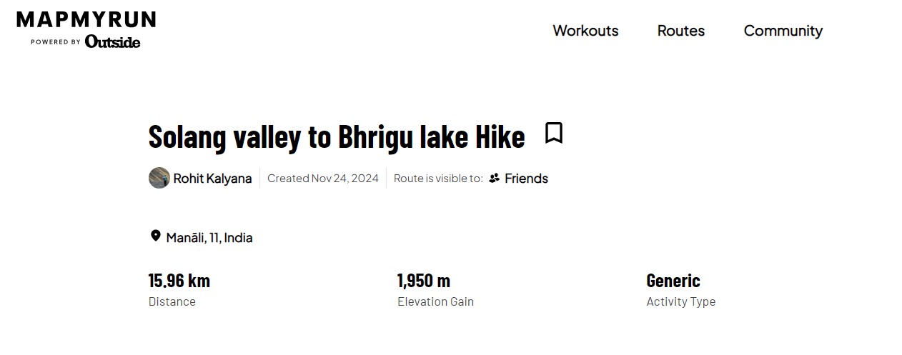
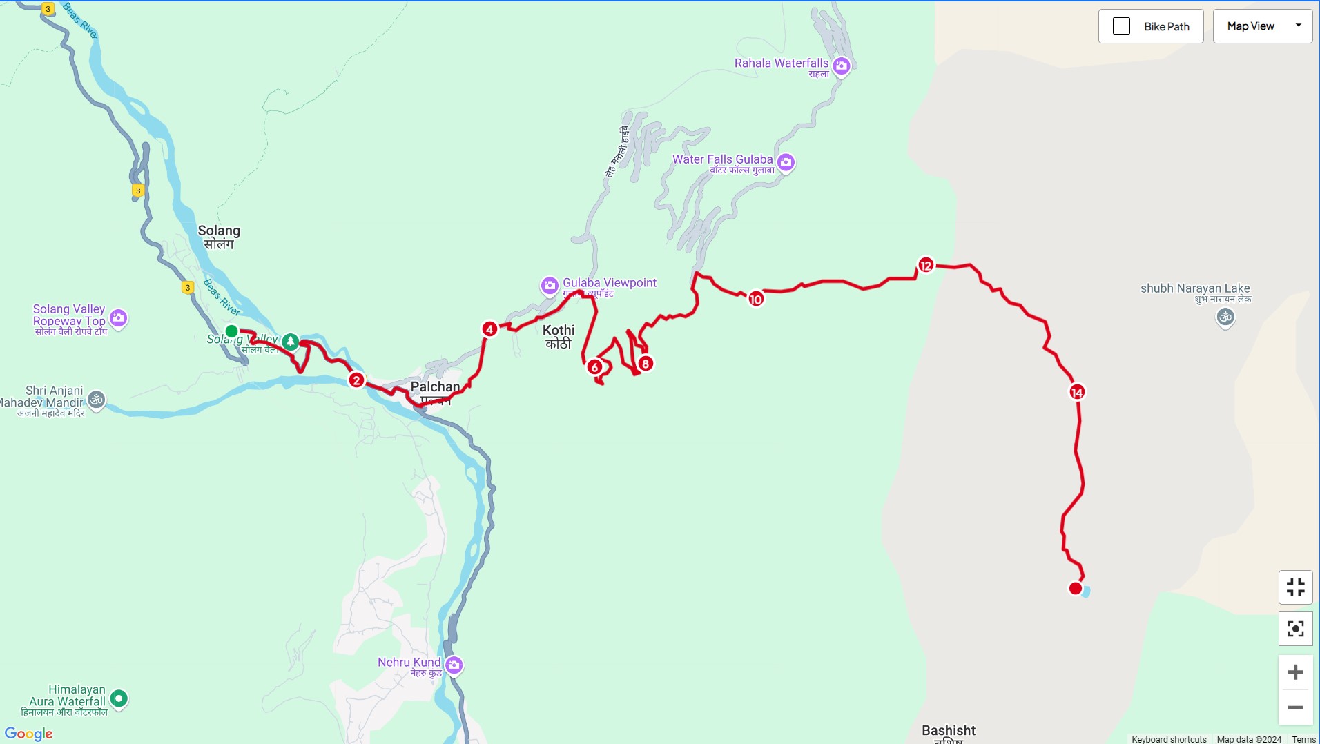
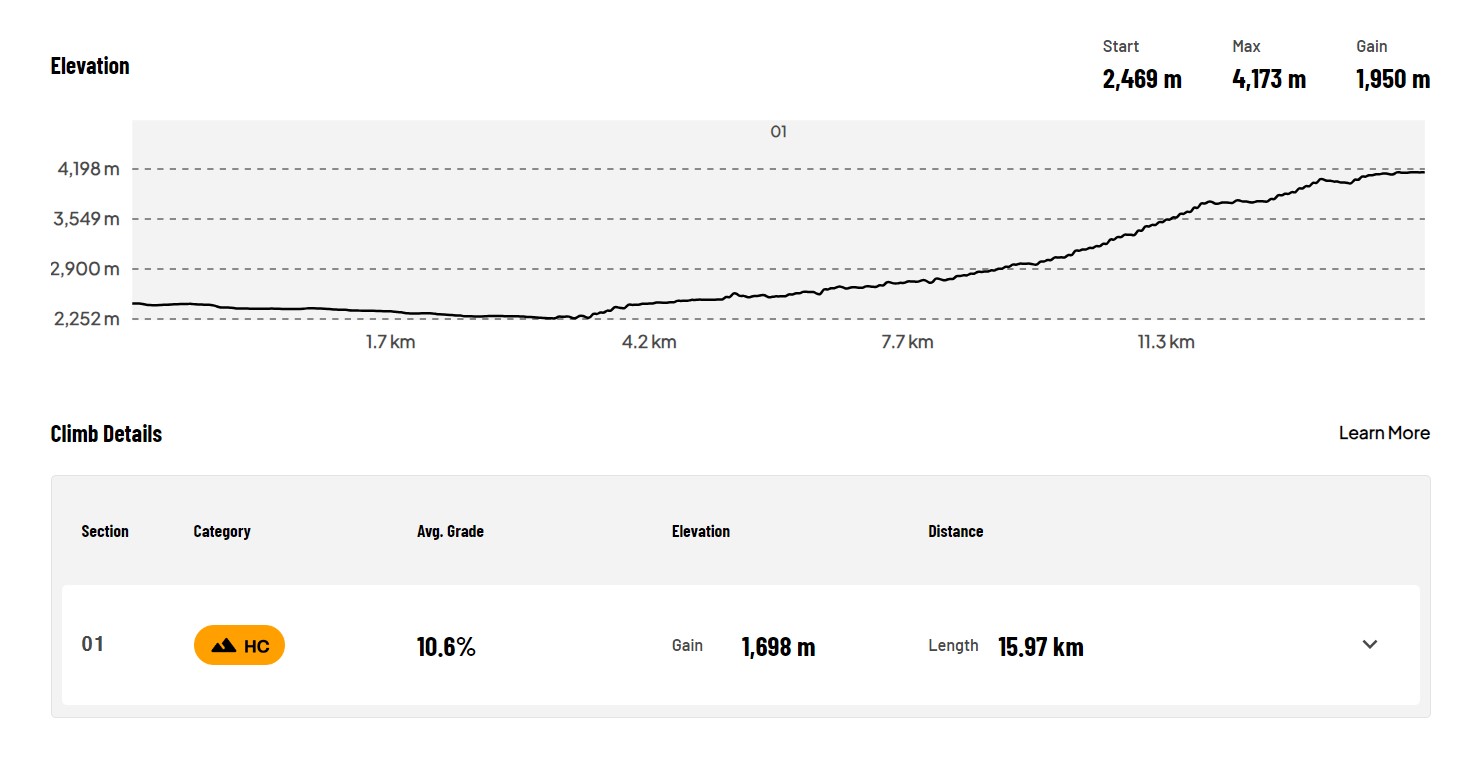
So on this trip, we have hiked 15.96 km so far in which there has been an elevation gain of 1950 meters. We started from 2450 meters and reached a maximum height of 4250 meters. Now you enjoy the photos of this route and see the stats of my hike. See you in the next post where I will tell you about the experience of how we descended from this lake from the other route.


Disclaimer: This post is originally written in Hindi and I have used Google Translator to translate the Hindi text in English. All the photos have been clicked by me from POCO F1 android smartphone and edited in deskstop software adobe lightroom. Thumbnail created in dekstop adobe photoshop.
[//]:# (!worldmappin 32.29337 lat 77.24251 long Reaching the Summit, A Trek to Bhrigu Lake (13944 ft) d3scr)