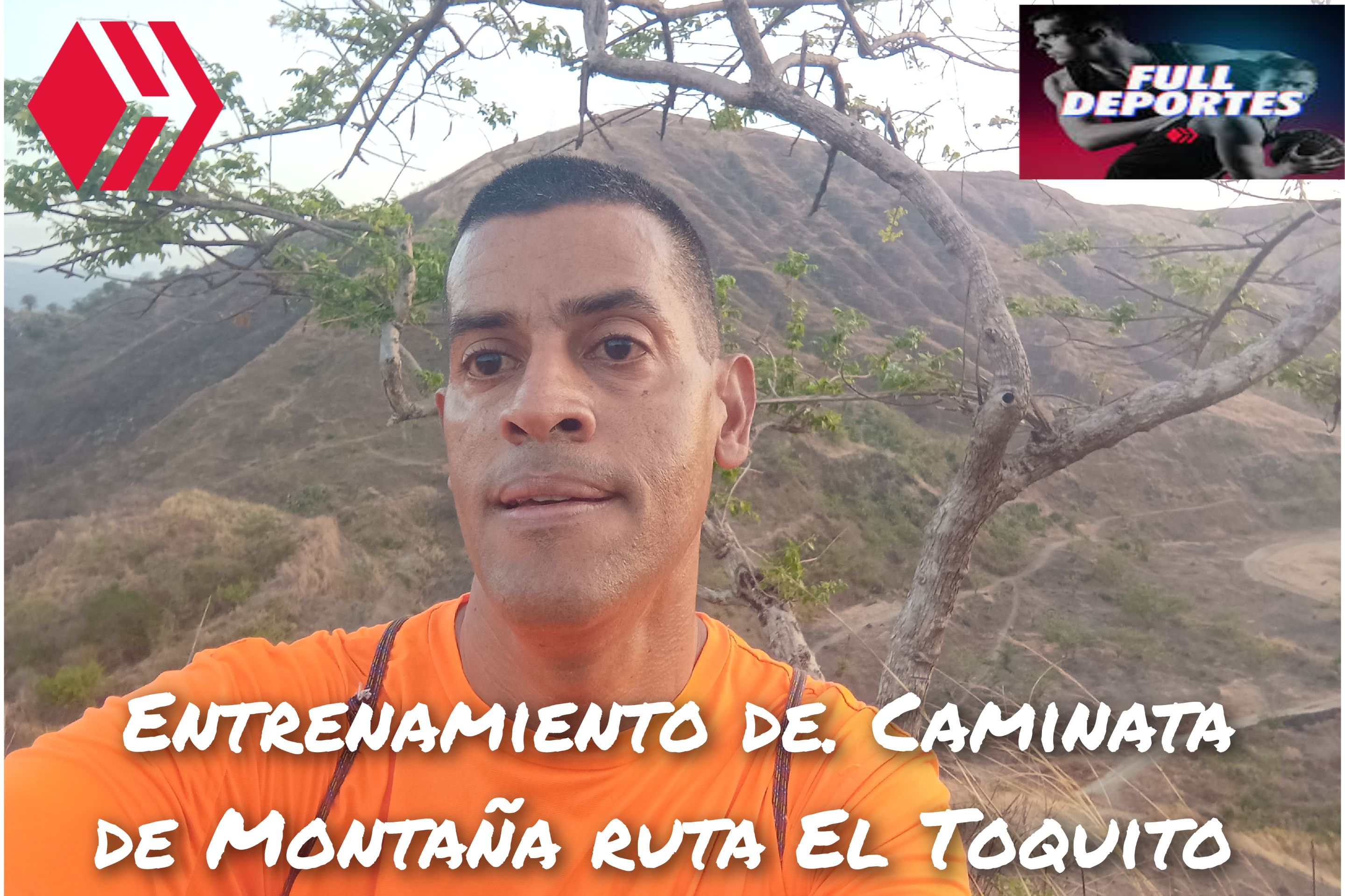
Greetings friends of Hive and @fulldeportes, today again I will share with you my mountain hiking training that I did on Sunday on the route of El Toquito hill, in the community of Villa de Cura, Aragua state, Venezuela.
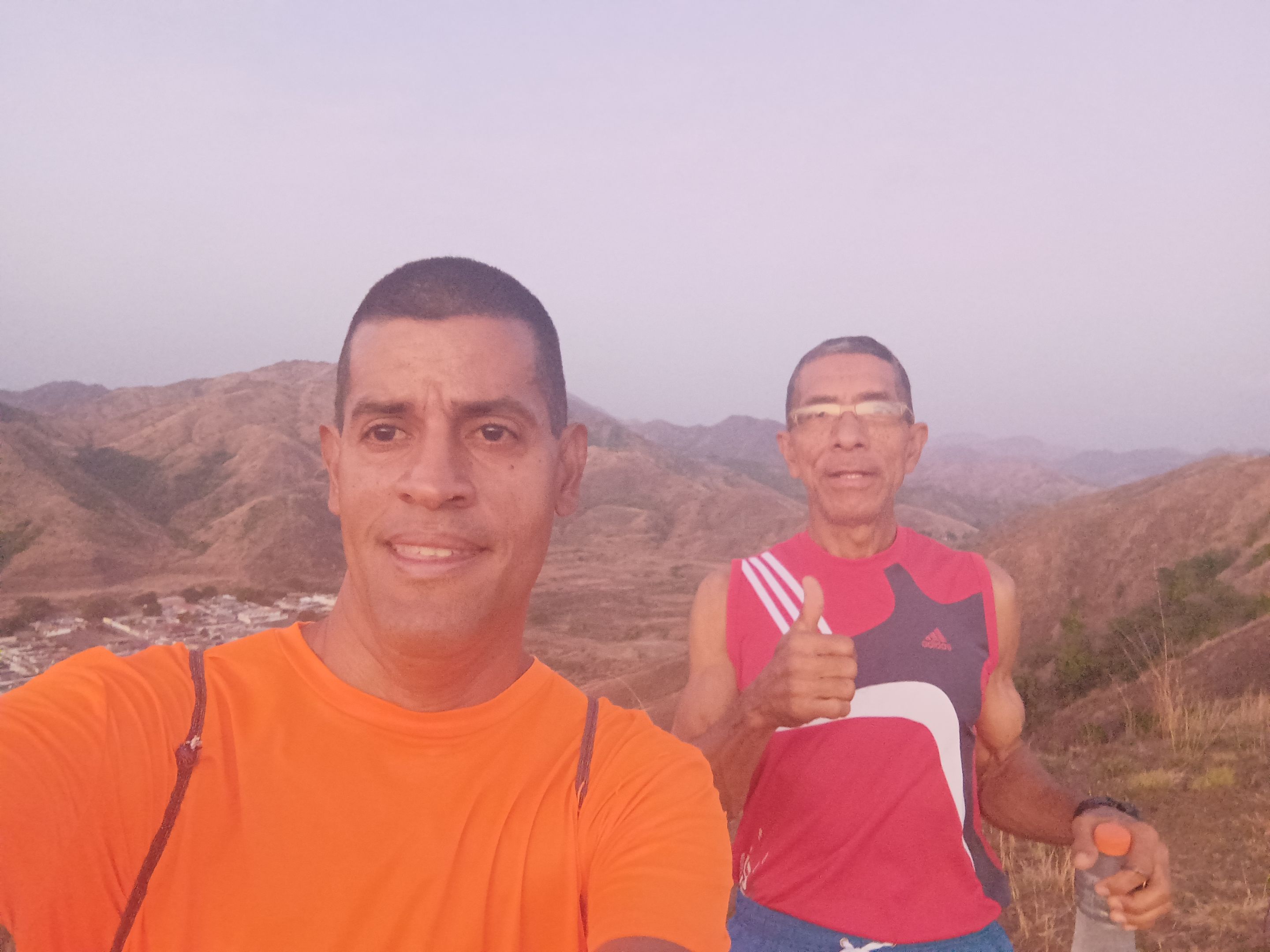
Cabe destacar que el domingo había pensado ir al cerro Las Antenas, pero después recibí un mensaje de un amigo que quería subir el del Toquito, por ese cambie de idea, para no ir solo a este entrenamiento. Salimos mi amigo y yo, a la 5:30 am, activando la aplicación Strava para llevar el registro del entrenamiento a un ritmo suave, pasando por el centro de la comunidad de Villa de Cura y luego llegamos al sector del Toquito con un tiempo de 22 minutos, para después comenzar a subir la montaña.
It should be noted that on Sunday I had thought about going to Las Antenas hill, but then I received a message from a friend who wanted to climb the Toquito, so I changed my mind, not to go alone to this training. My friend and I left at 5:30 am, activating the Strava application to keep track of the training at a gentle pace, passing through the center of the community of Villa de Cura and then arrived at the Toquito sector with a time of 22 minutes, and then begin to climb the mountain.
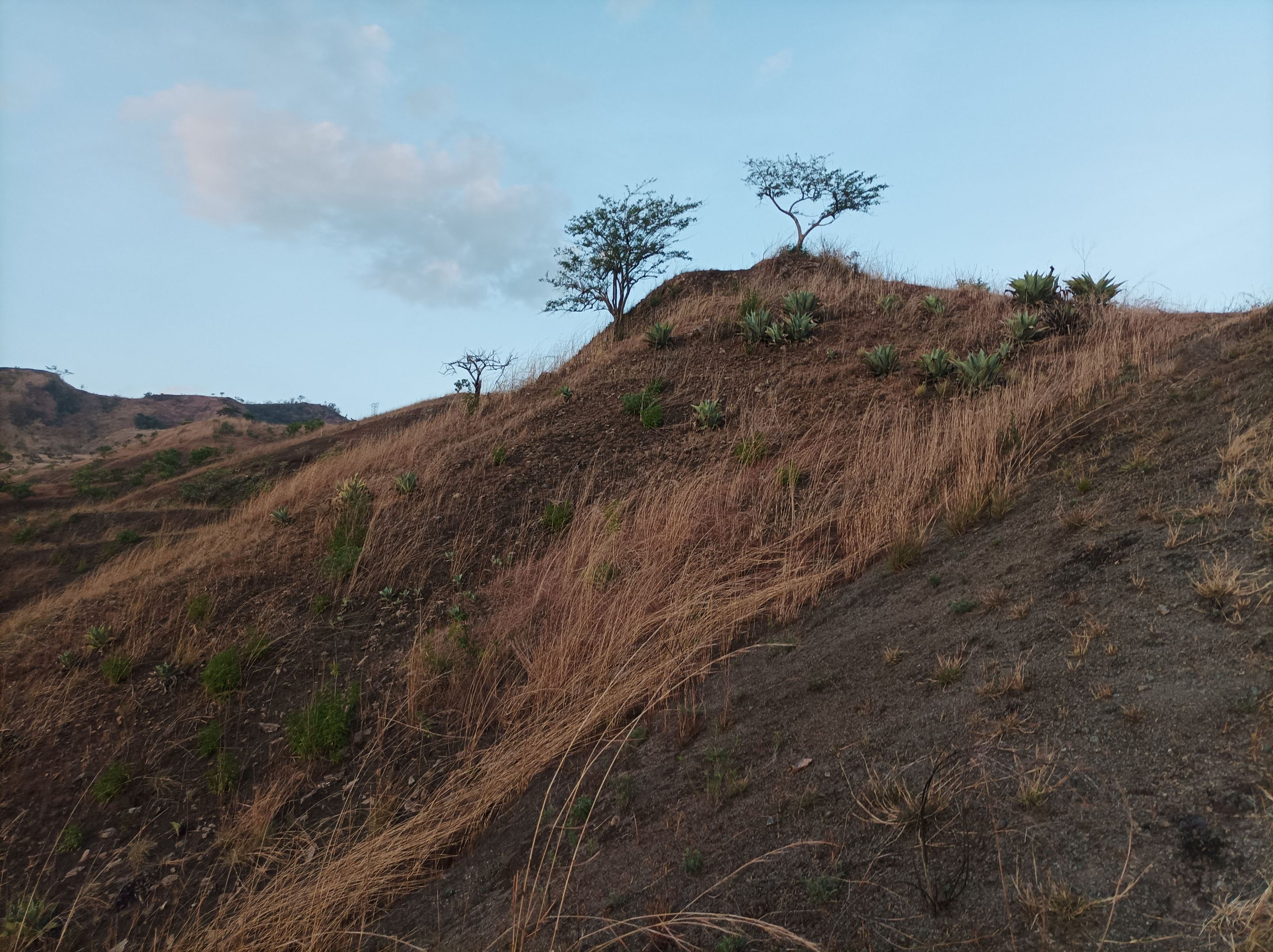
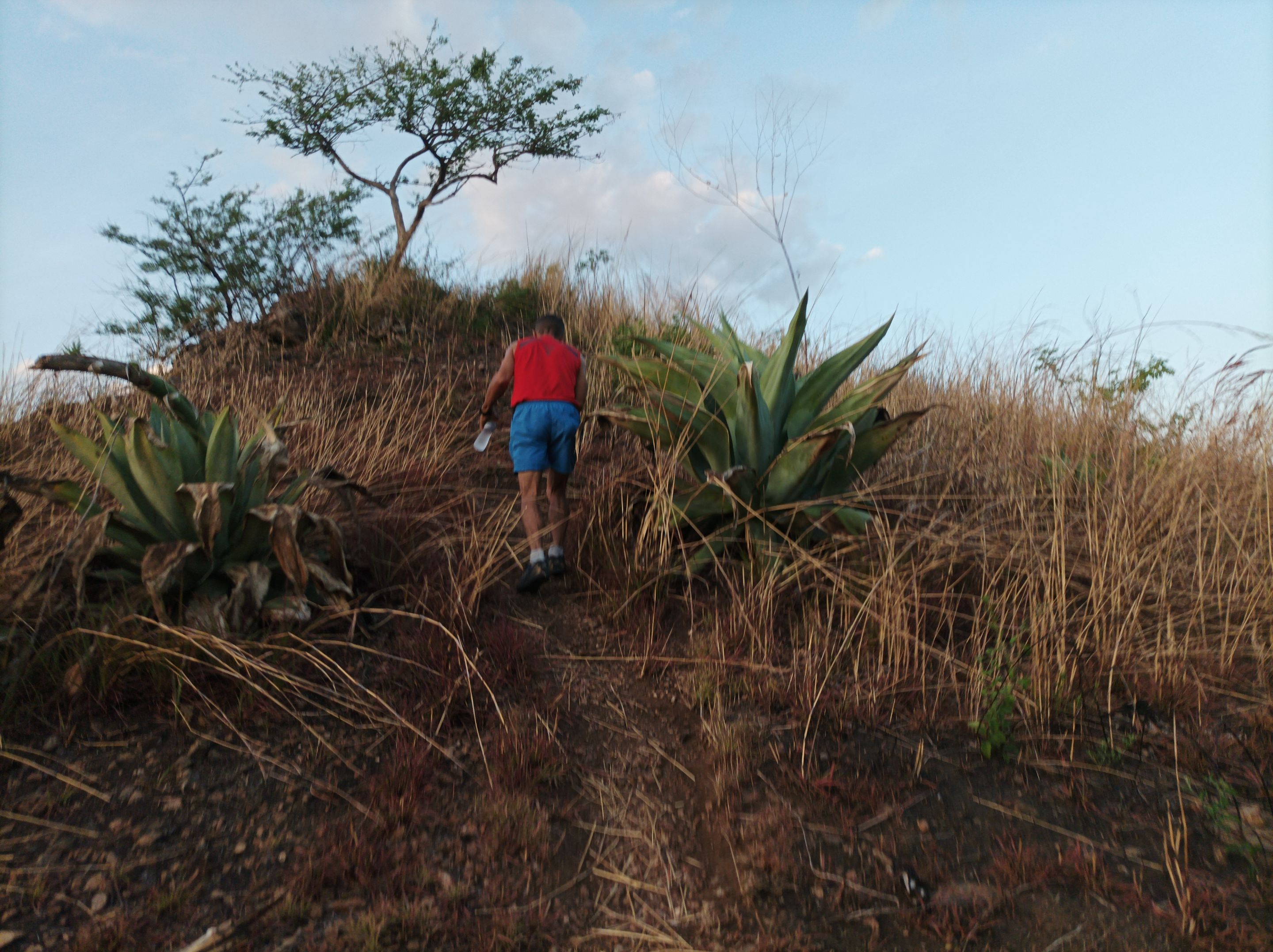
Cuando llegamos al inicio de la subida, la aplicación Strava no estaba marcando el kilometraje, me imagino que fue que fallo el Gps al comienzo del entrenamiento, aumentamos el ritmo en la primera subida, donde realice algunas tomas fotográficas para mostrárselas en este recorrido. Les cuento que iba marcando el paso adelante, pero no me sentí muy bien porque no dormí mucho la noche anterior, pasamos la primera pendiente en un tiempo de 28 minutos, registrados en mi reloj cronómetro.
When we reached the beginning of the climb, the Strava application was not marking the mileage, I guess it was that the Gps failed at the beginning of the training, we increased the pace on the first climb, where I took some pictures to show them on this route. I tell you that I was marking the pace ahead, but I did not feel very good because I did not sleep much the night before, we passed the first slope in a time of 28 minutes, recorded in my stopwatch.
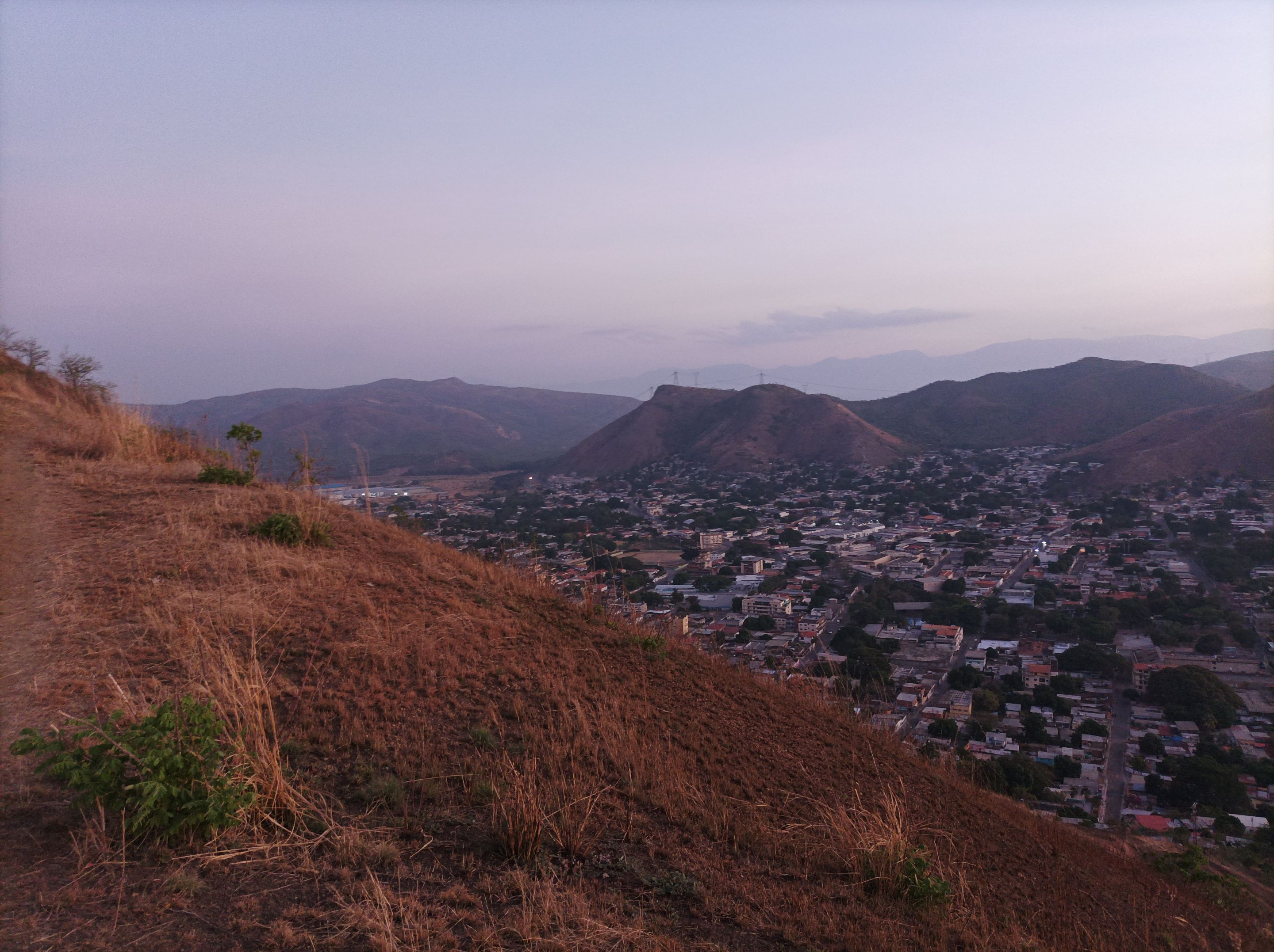
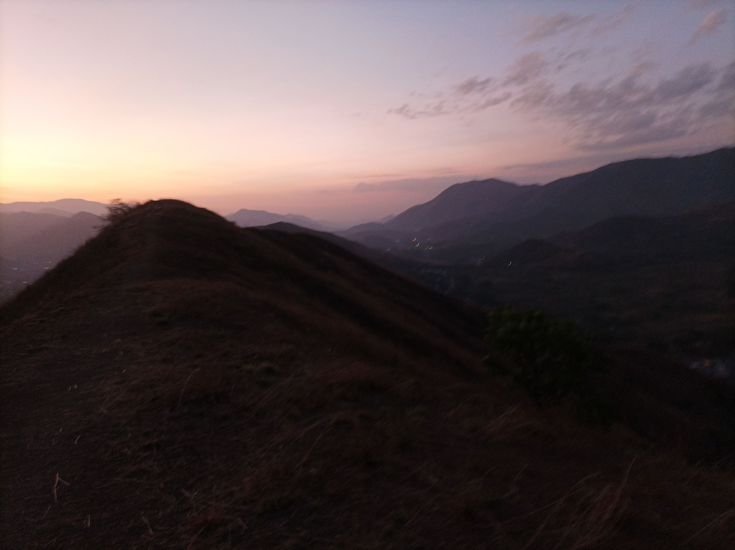
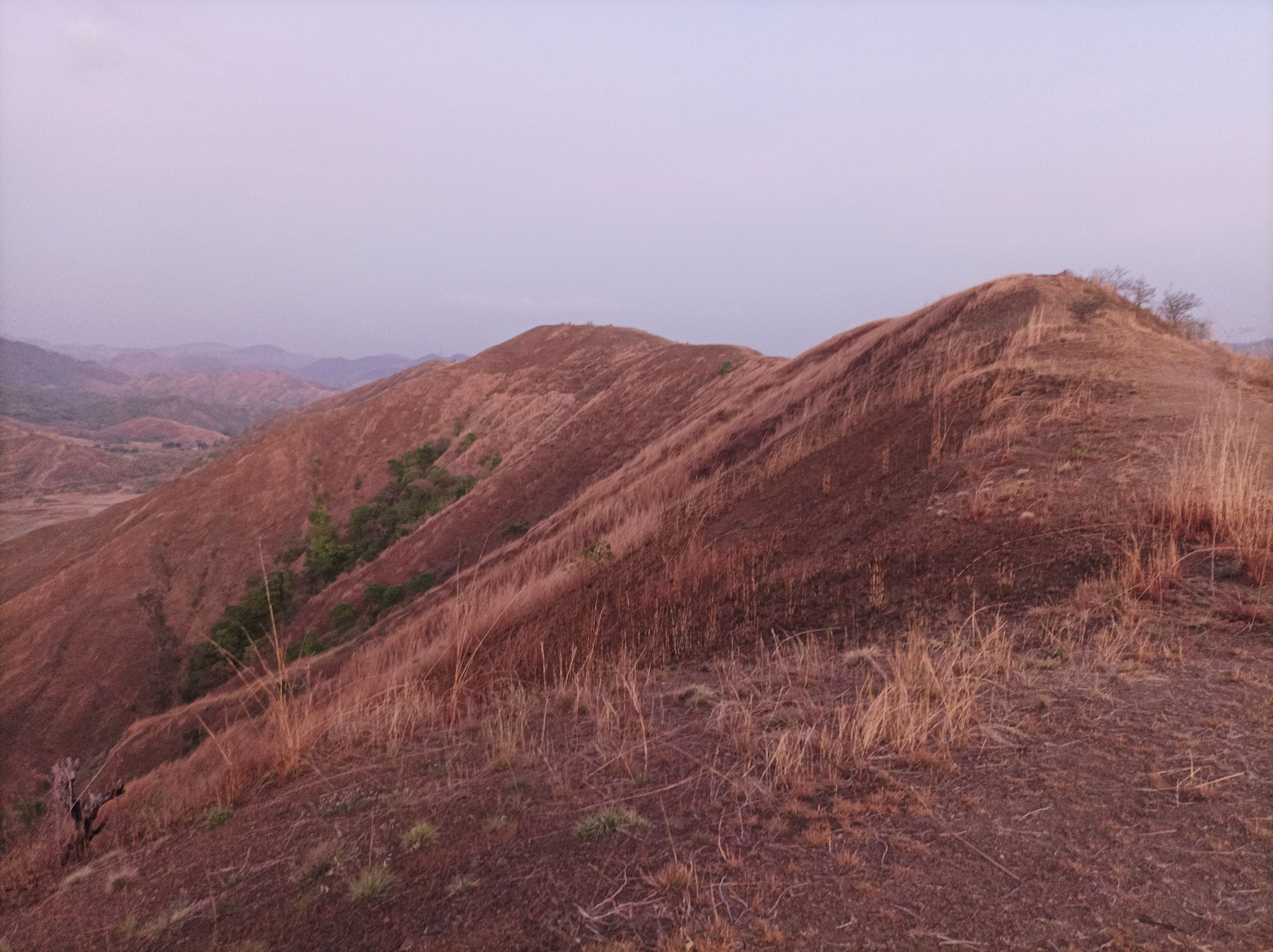
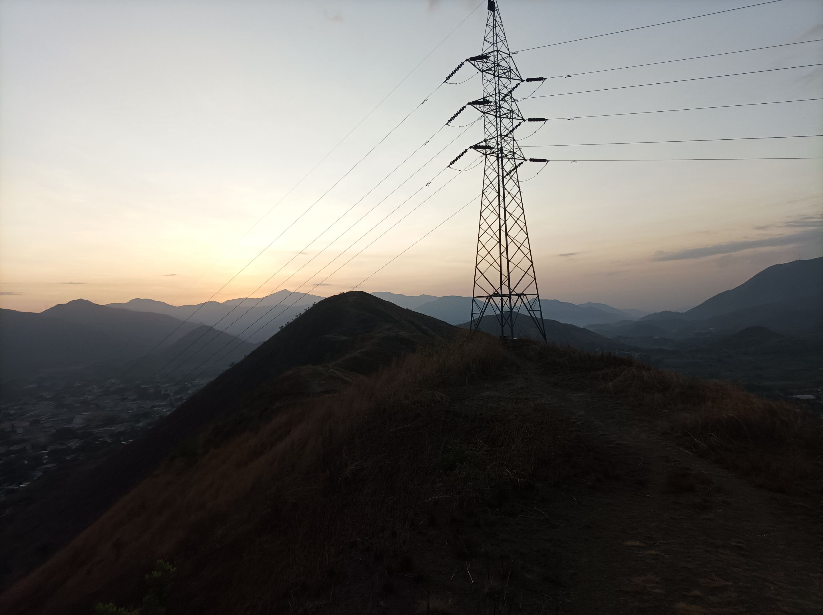
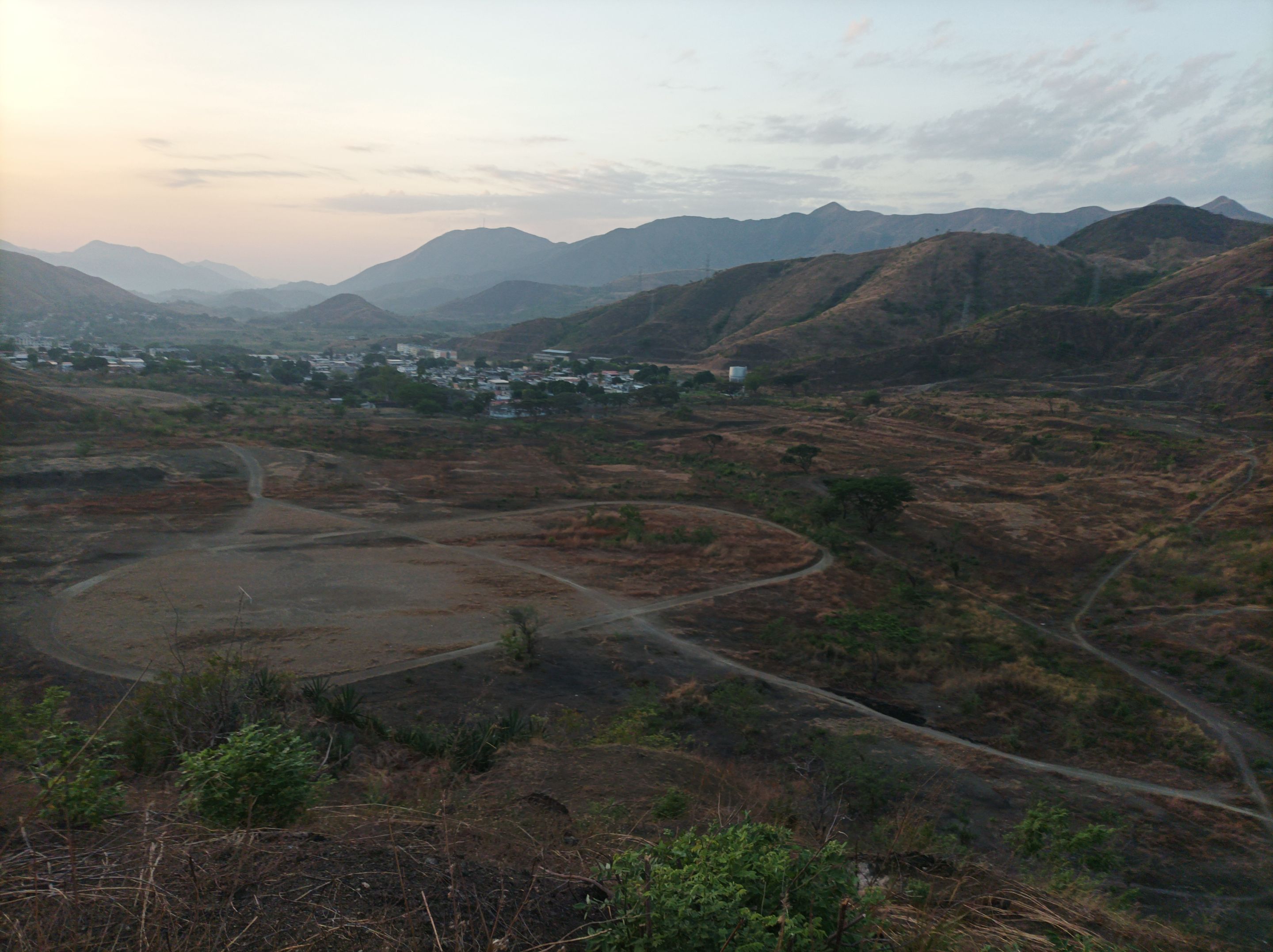
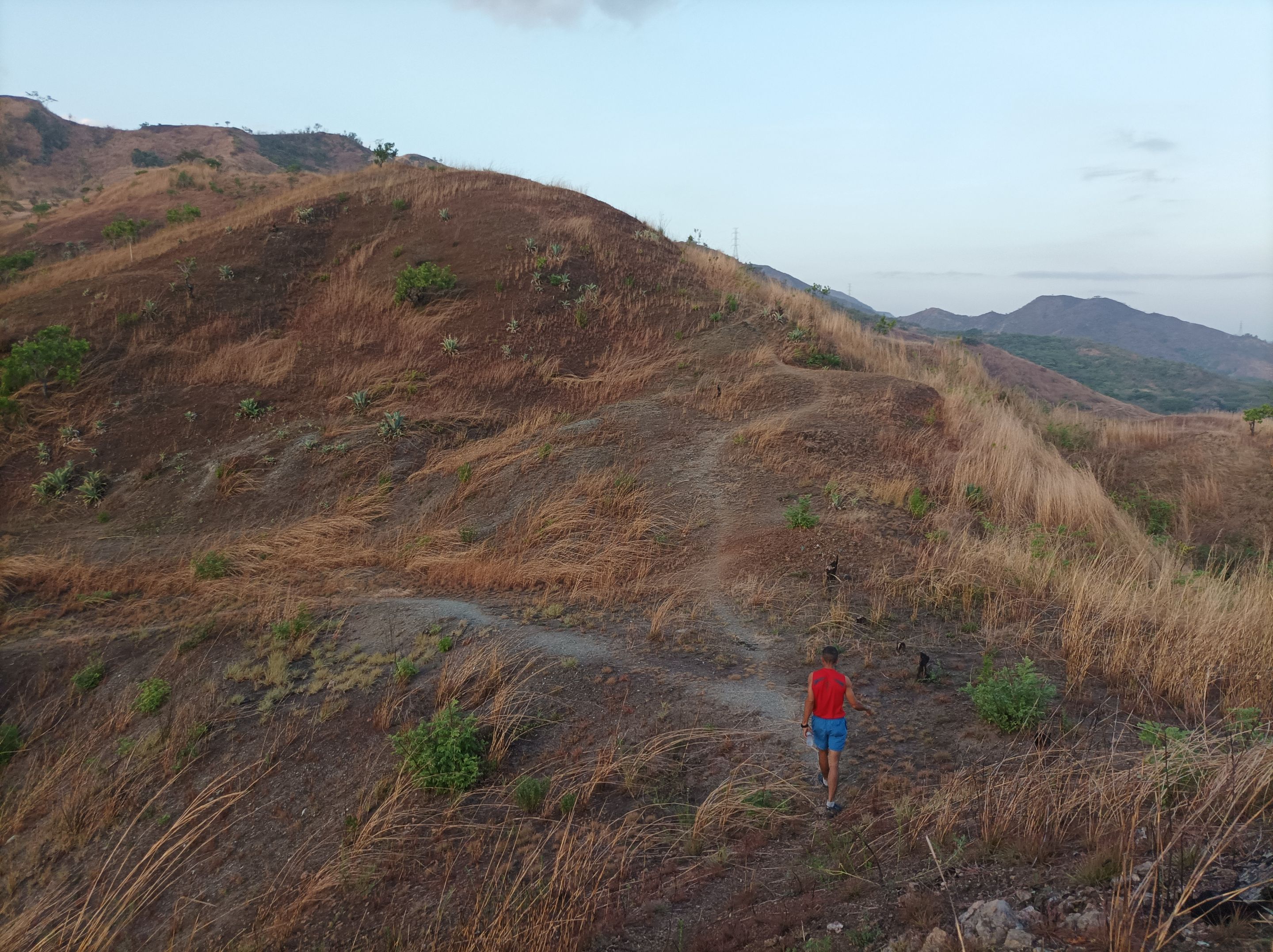
Asimismo continuamos al mismo ritmo, el clima estaba fresco y a medida que avanzaba, mantuvimos el mismo paso, pasando la segunda subida y después la tercera, llegamos la cima con un tiempo de 35 minutos. Luego nos trasladamos al lado derecho de esta montaña, donde podemos visualizar toda la comunidad del centro de Vila de Cura y del Toquito, para después comenzar a bajar para descender, pasando por la primera torre eléctrica y luego la segunda para llegar a la parte posterior de la pista en 58 minutos.
We also continued at the same pace, the weather was cool and as we advanced, we kept the same pace, passing the second climb and then the third, we reached the top with a time of 35 minutes. Then we moved to the right side of this mountain, where we can visualize the whole community of the center of Vila de Cura and Toquito, and then begin to descend, passing the first electric tower and then the second to reach the back of the track in 58 minutes.
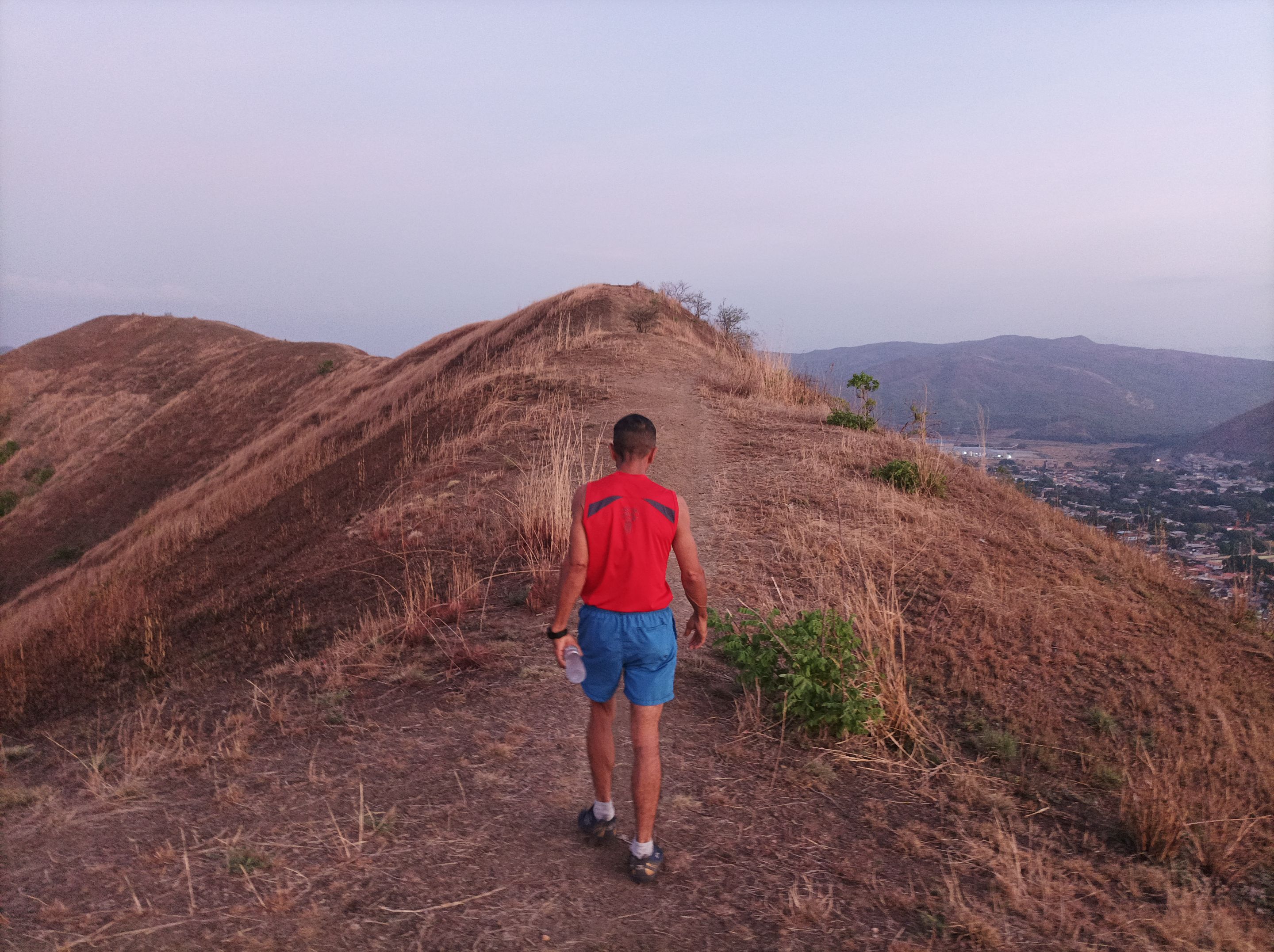
Le había dicho a mi amigo, que íbamos a subir el cerro del Toquito II, pero después cambiamos porque mi amigo necesitaba llegar temprano. Subimos entonces la montaña que está en frente de la pista y después bajamos para recorrer el recorrido que lo llaman El Country, con una distancia de 1KM, adicional. Después retomamos el mismo camino para llegar al sector El Toquito y comenzar a bajar para nuevamente dirigirnos al centro de la comunidad.
I had told my friend that we were going to climb the Toquito II hill, but then we changed because my friend needed to arrive early. We then climbed the mountain that is in front of the track and then we went down to go through the route that they call El Country, with a distance of 1KM, additional. Then we went back on the same road to get to the El Toquito sector and start going down to head back to the center of the community.
De esta forma, terminamos nuestro entrenamiento, con un tiempo final de 1 hora con 44 minutos, no se pudo registrar la información en la aplicación Strava, porque esta presento problemas de conexión. En vista de esto active la aplicación Actifit en la cima de la montaña, para tener el registro con esta aplicación.Espero que les haya gustado este entrenamiento, nos vemos en el próximo.
In this way, we finished our training, with a final time of 1 hour and 44 minutes, it was not possible to register the information in the Strava application, because it presented connection problems. In view of this I activated the Actifit application at the top of the mountain, to have the record with this application, I hope you liked this training, see you in the next one.
Fotografías: Teléfono Redmi Note 10
Portada realizada en APP GridArt
Logos utilizados de Hive y de fulldeportes
Traductor utilizado: Traductor de Google
Photos: Redmi Note 10 Phone
Cover made in The APP GridArte
Used logos of Hive and fulldeportes
Translator used: Translator used: Google Translate

Vote la-colmena for witness By @ylich