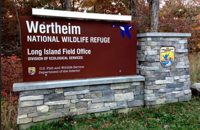
Walk to Indian Landing at Wertheim NWR, Shirley Long Island, NY.
Map provided on their website: https://www.fws.gov/refuge/wertheim/map?trail=black-tupelo-trail
Trail is only a 2 1/2 miles round trip. Feels longer to me 🤣
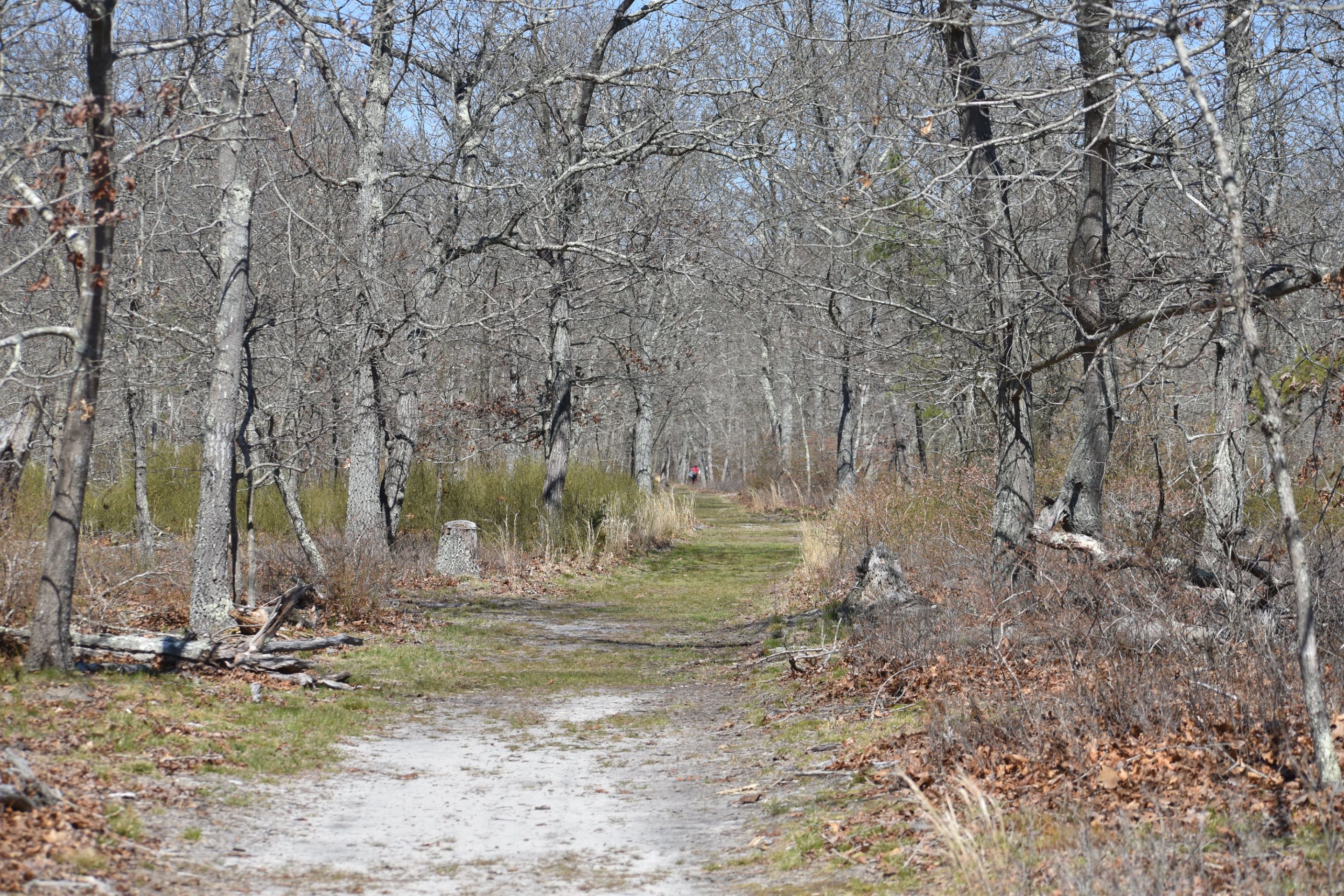
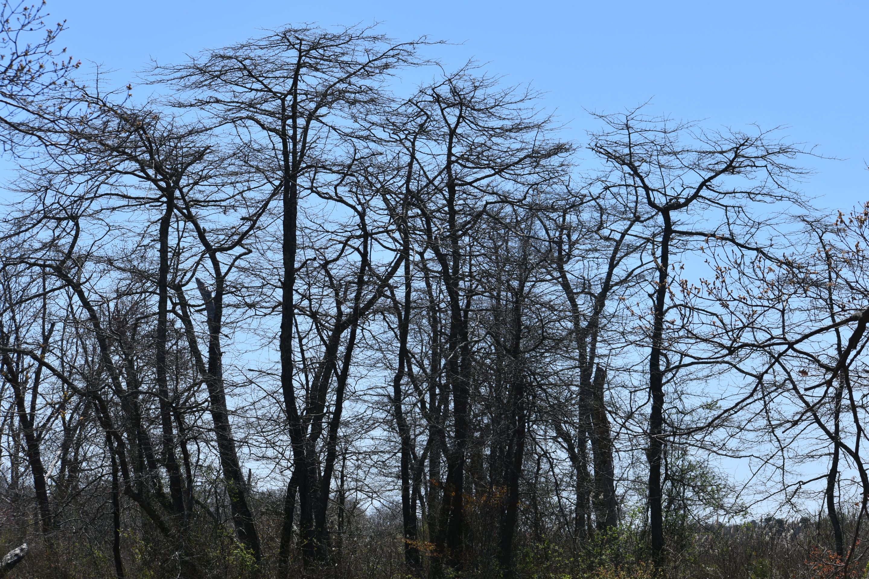
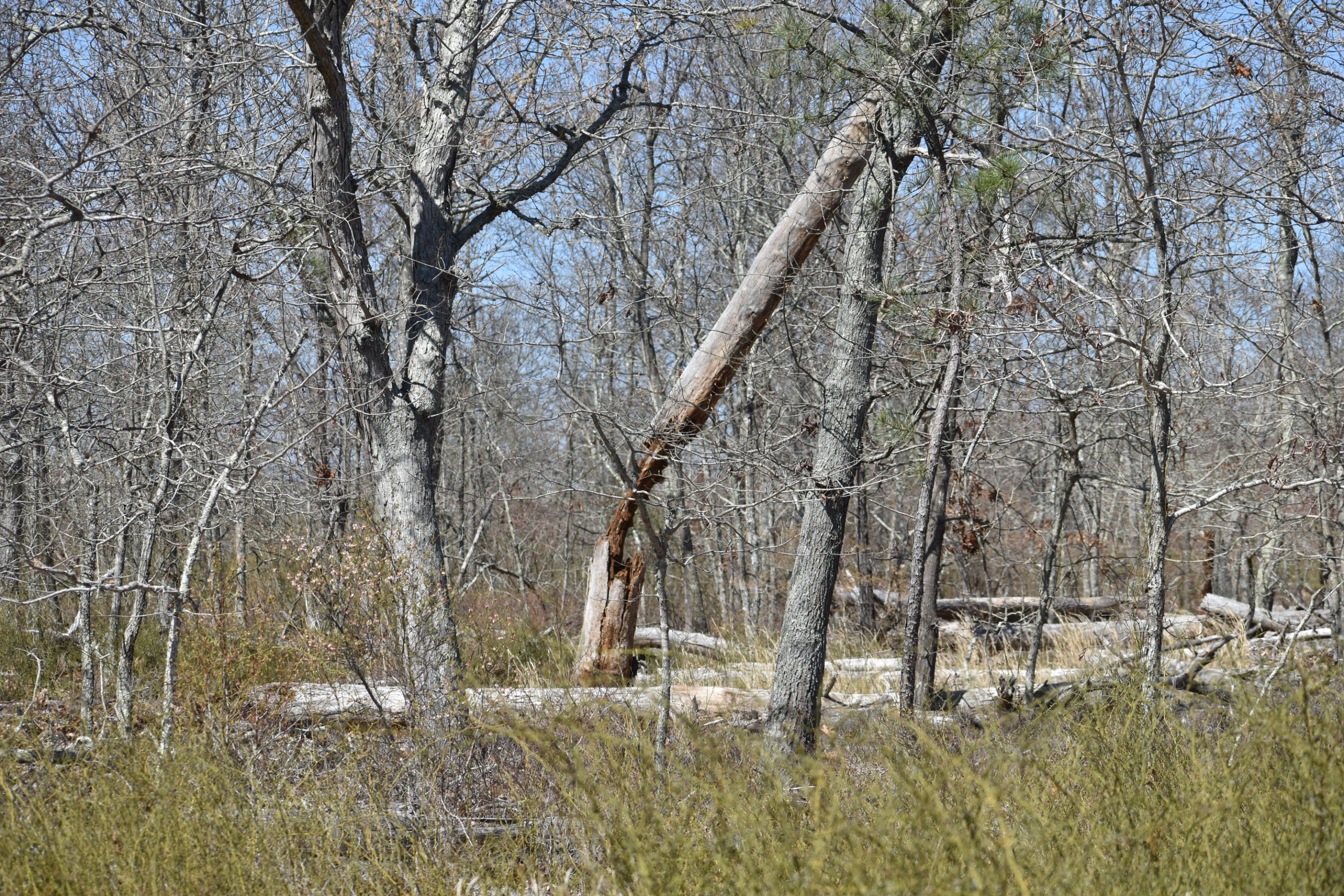
Path runs south on the east side of Carmans river. Woods are predominantly Oaks with Black Tupelo hear the water. There were large Pitch pines recently destroyed by the Southern pine Beatle.
The view of the river is blocked by the reed marsh grass.
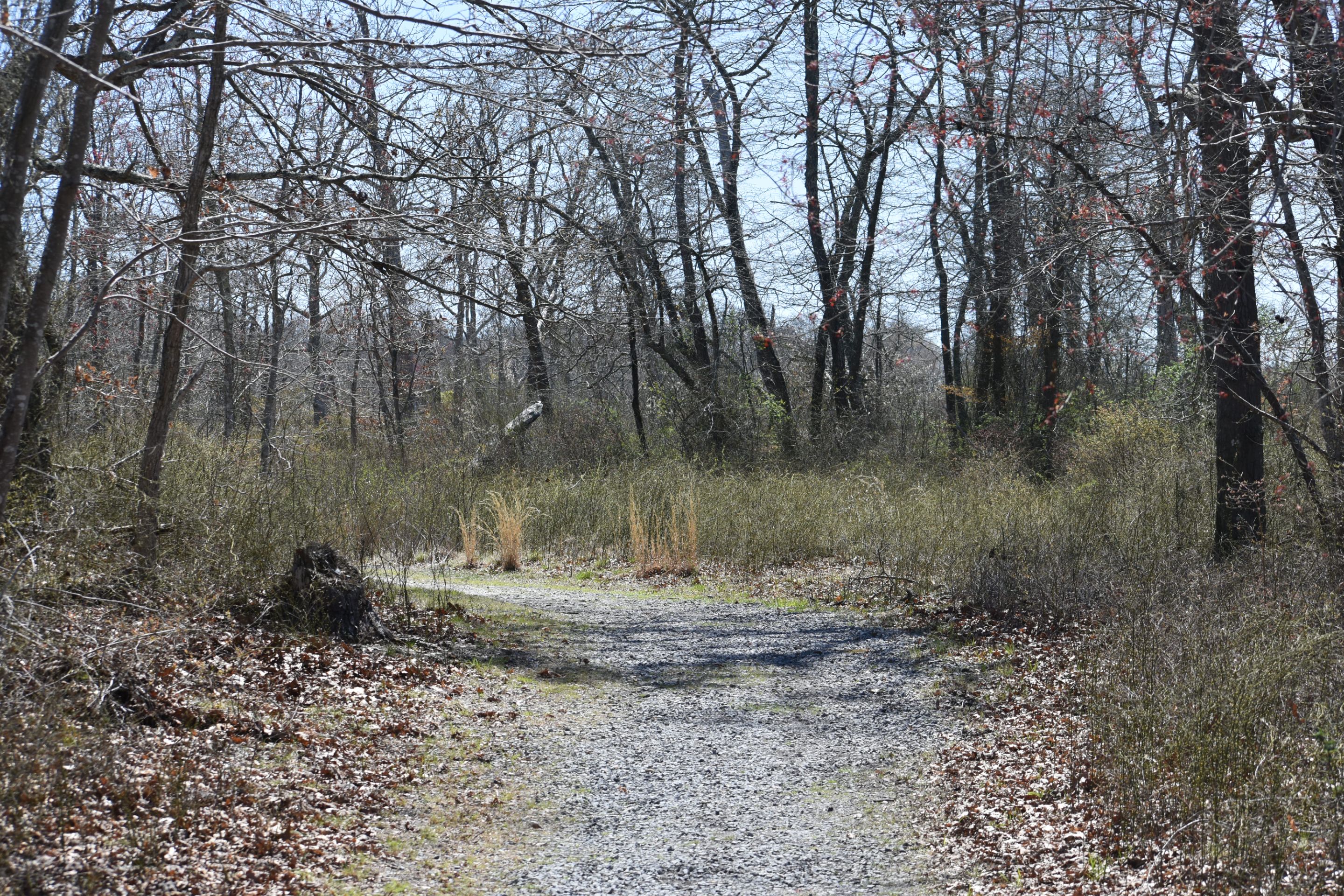
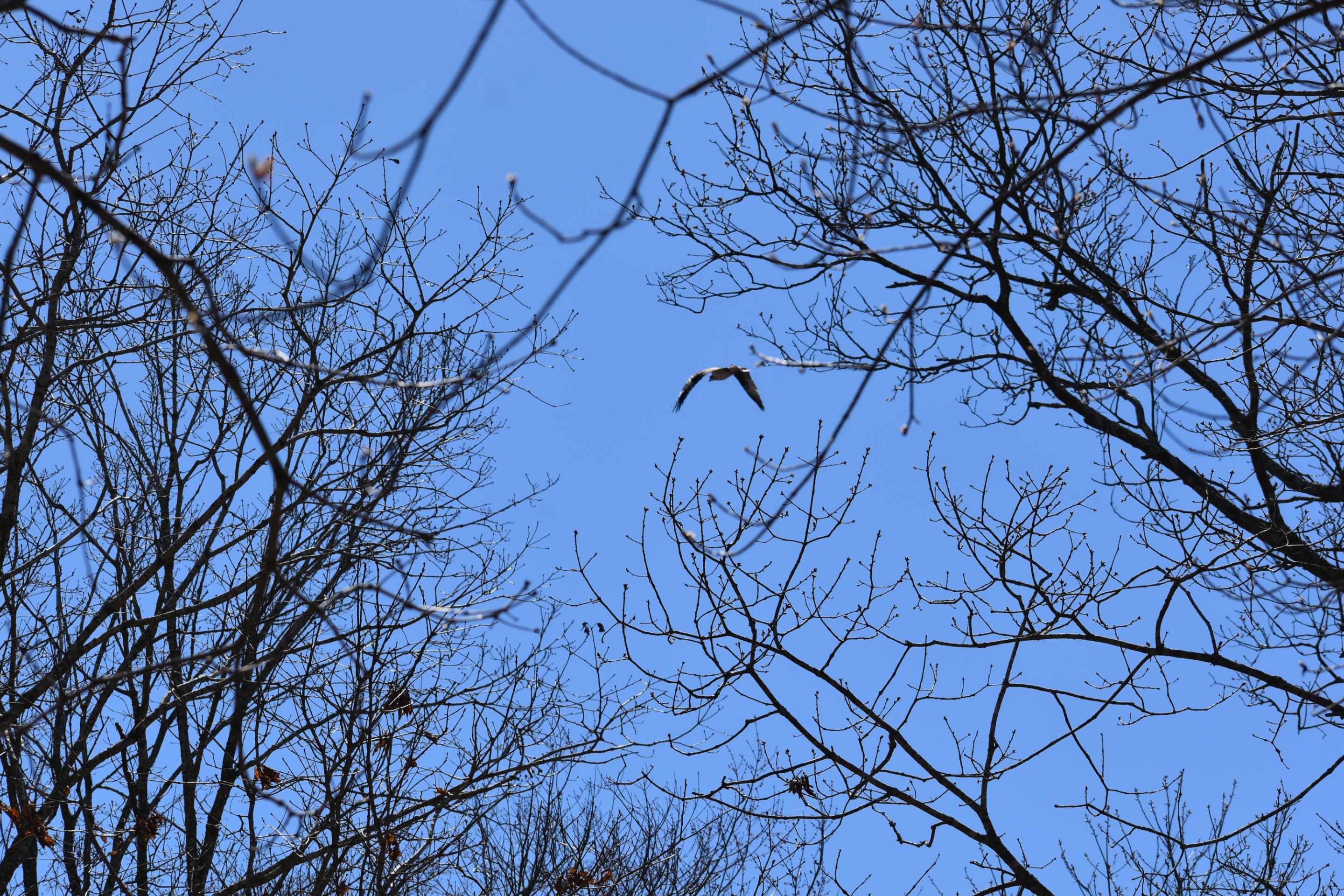
This is early Spring. Leaves not out yet on the Tupelo growing at the marsh's edge /
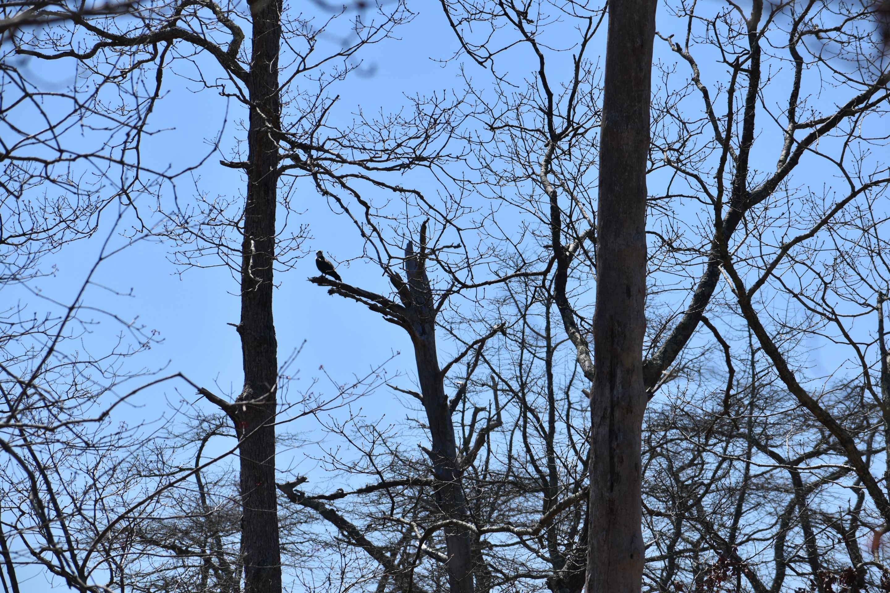
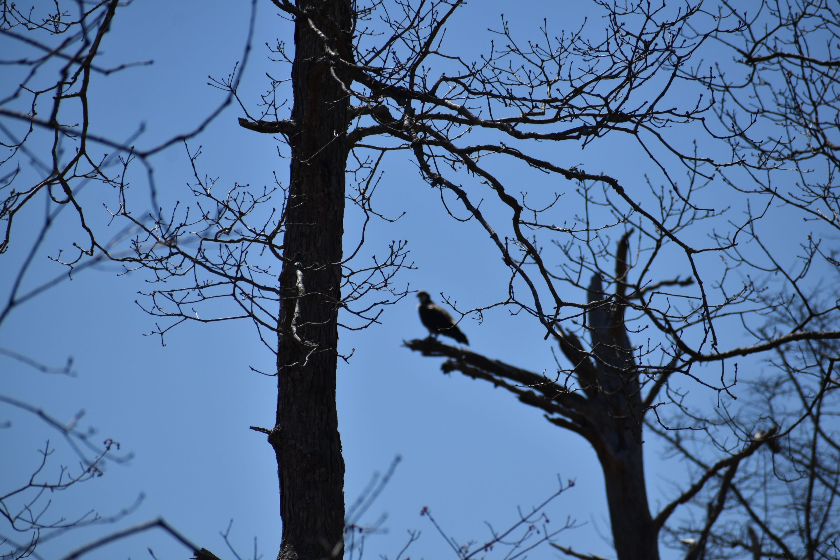
Lucky to spot early arrival of Osprey, up from there winter home in the south to nest up here /
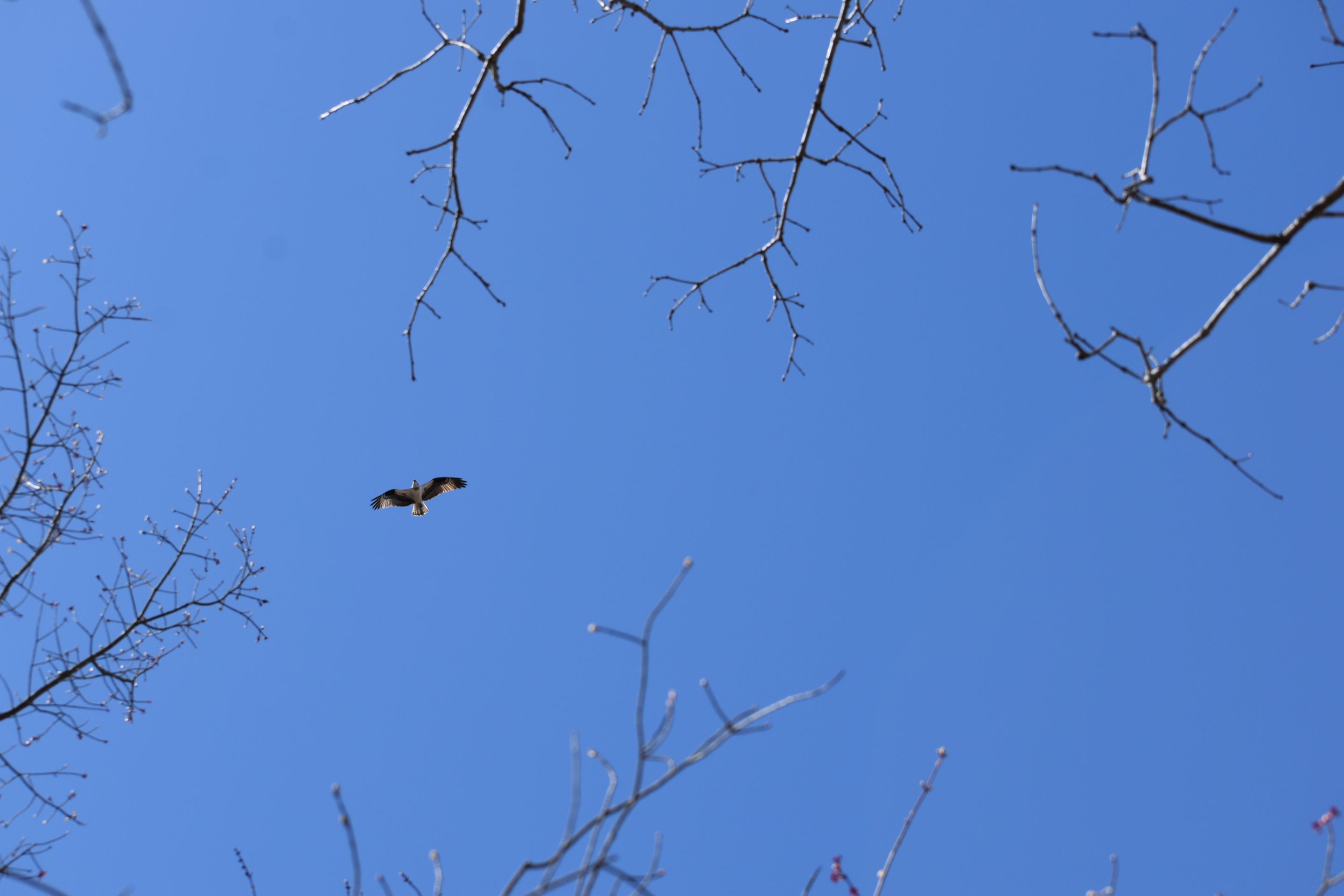
Osprey live cams // https://www.psegliny.com/wildlife/osprey/ospreycams
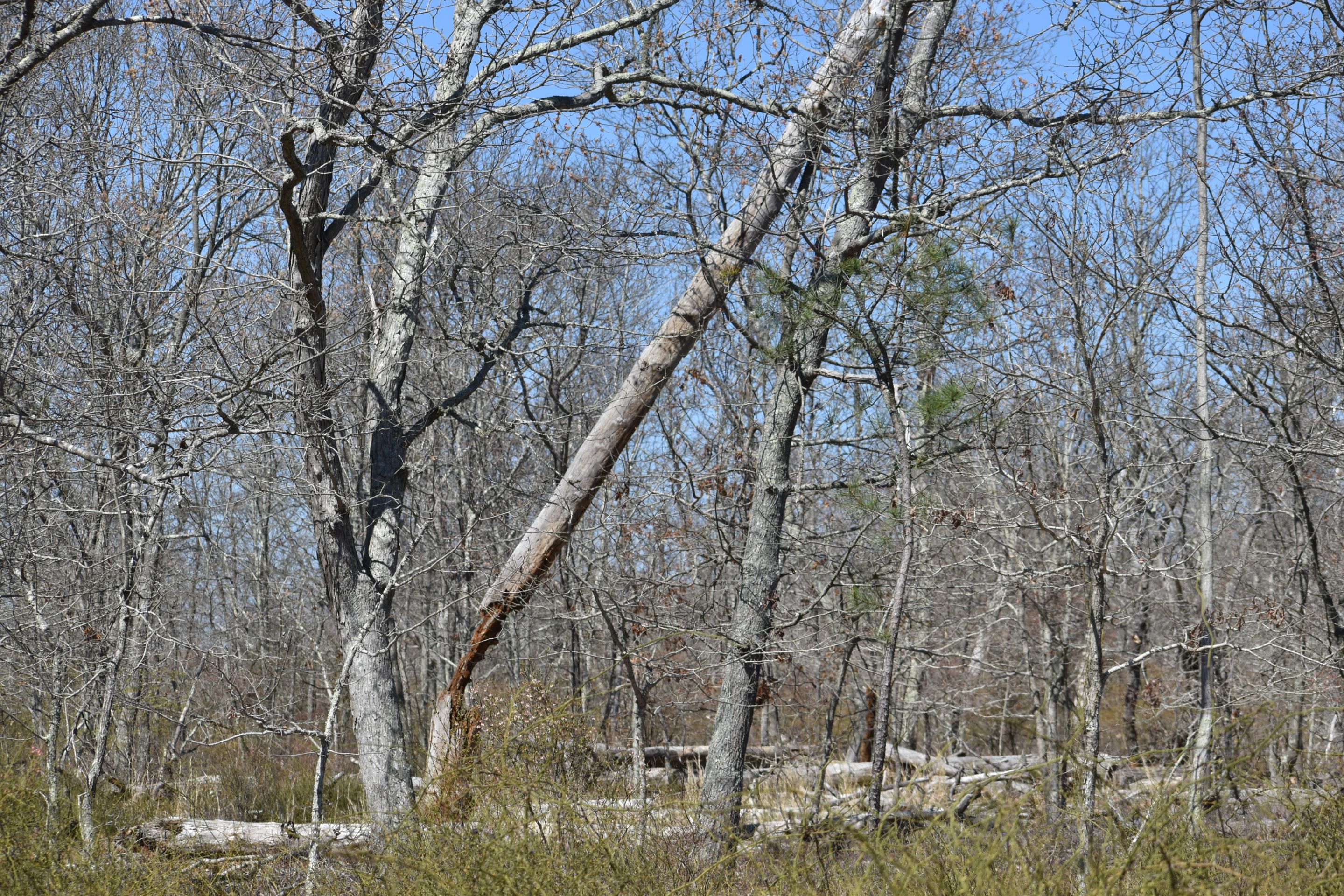
Rotted Pitch pine being held up by an Oak /

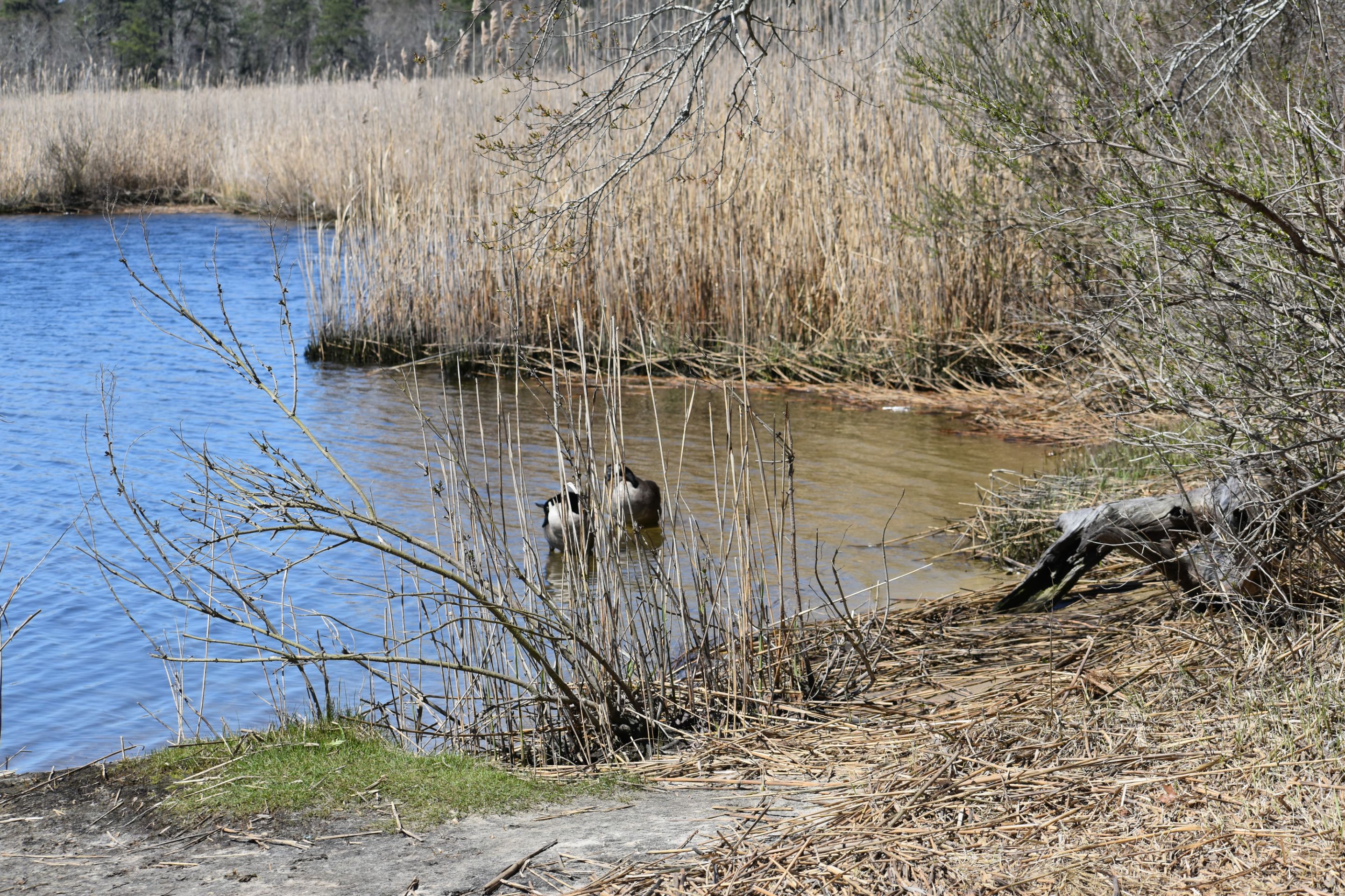
This is Indian Landing, where the bend in the river meets the land. Most of river's shore line is lined with marsh and it's grasses , making the river inaccessible /
This is where the early native American Indians would land with their canoes.
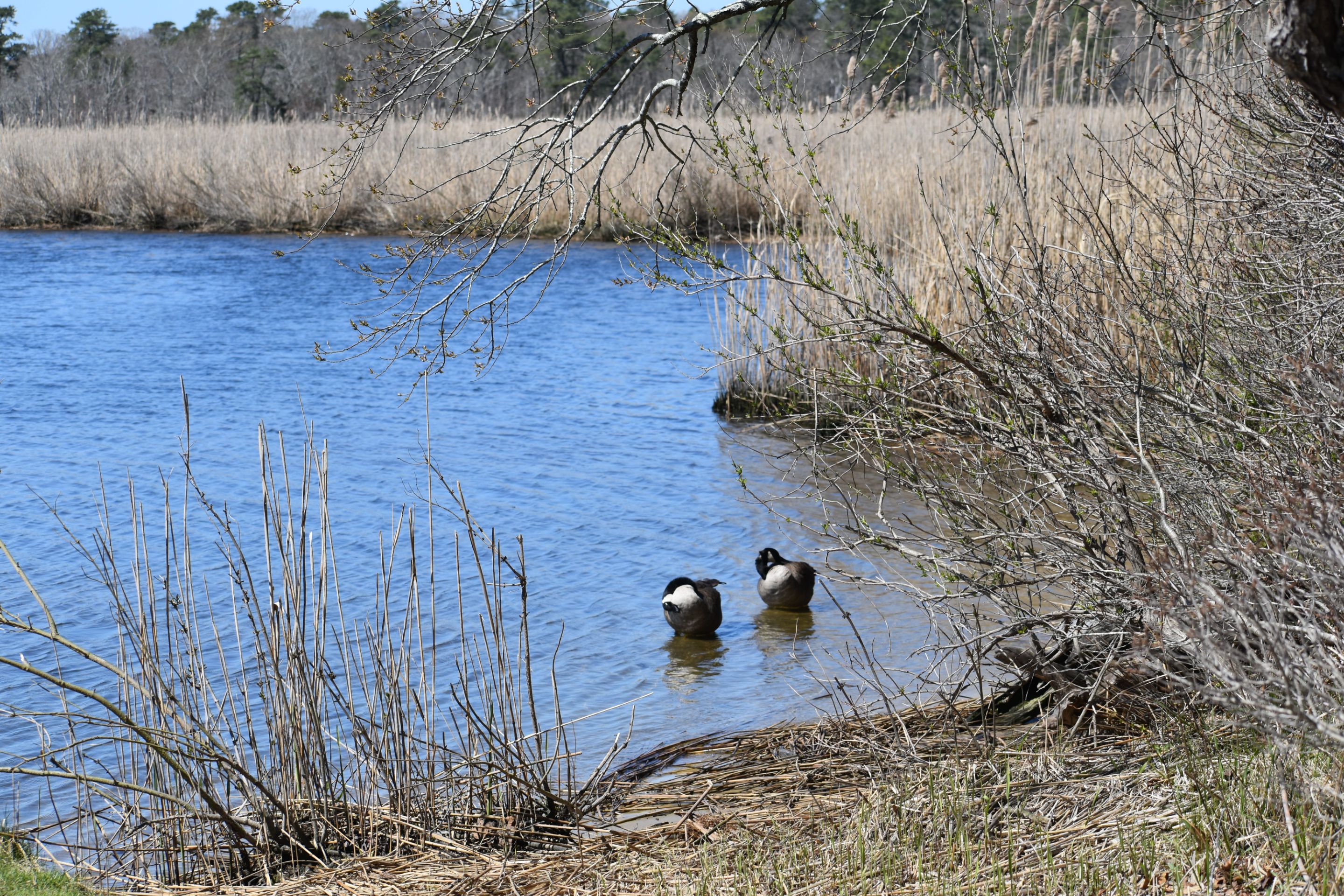
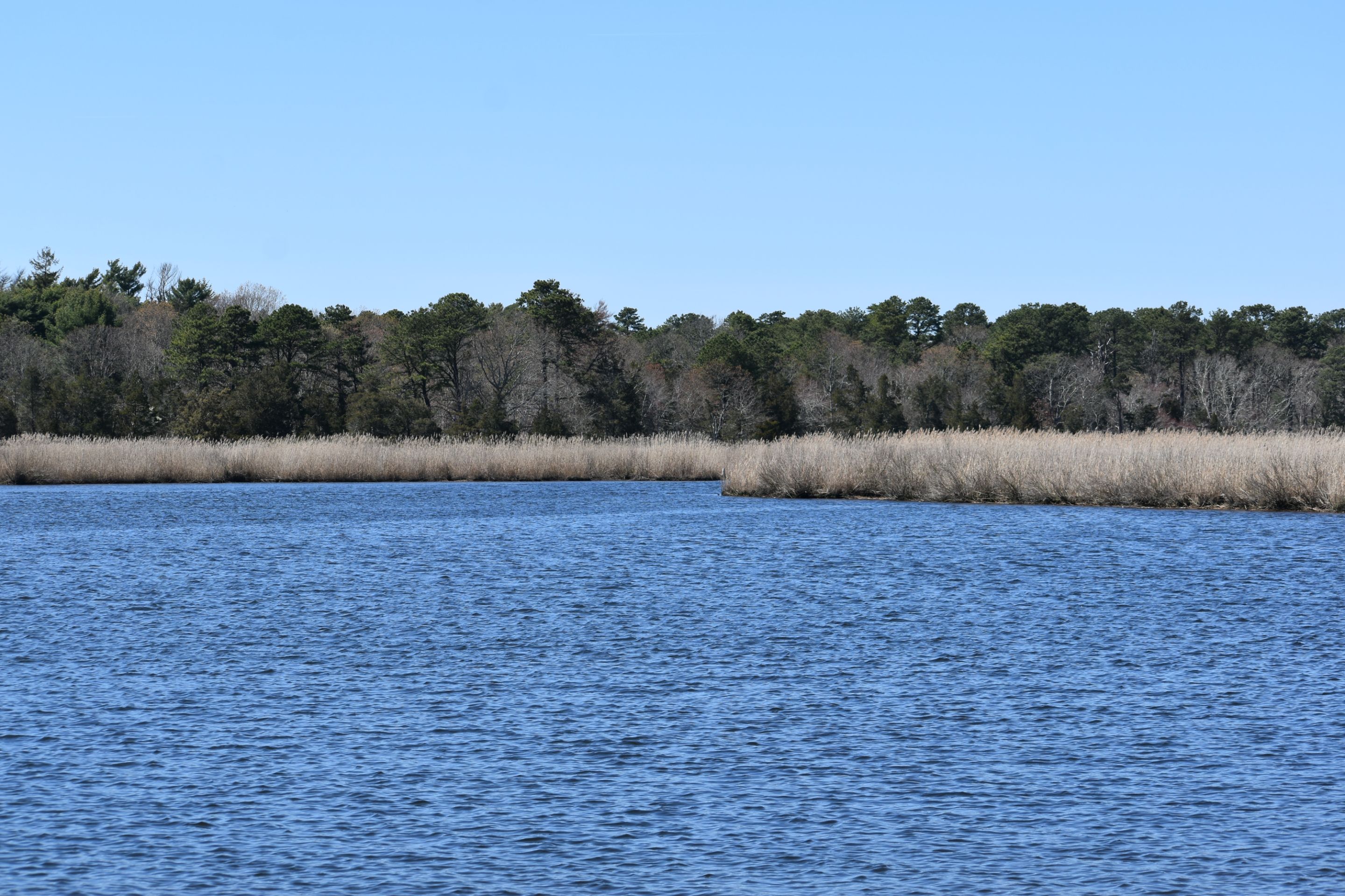
You can see the large pines still alive on the other side .

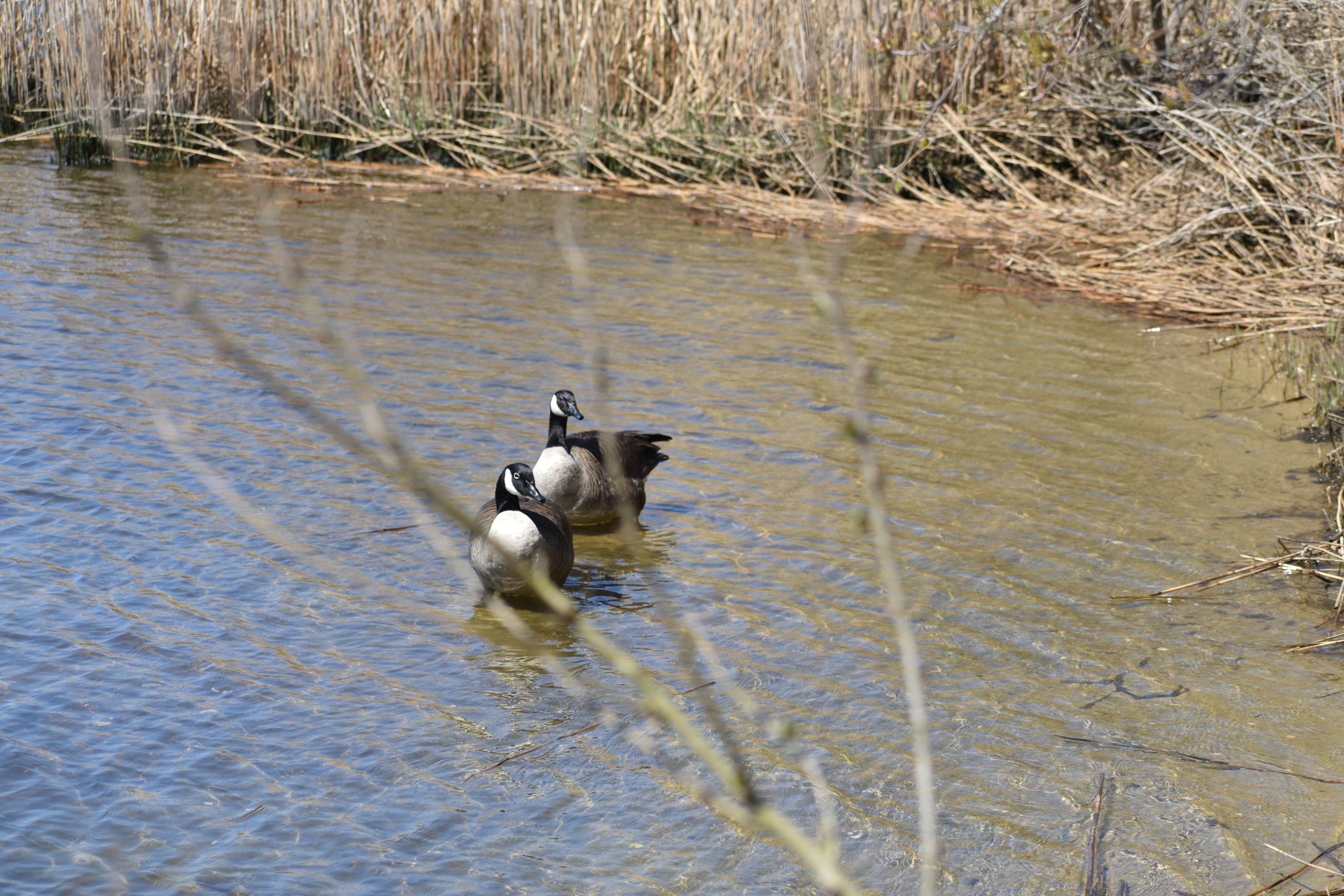
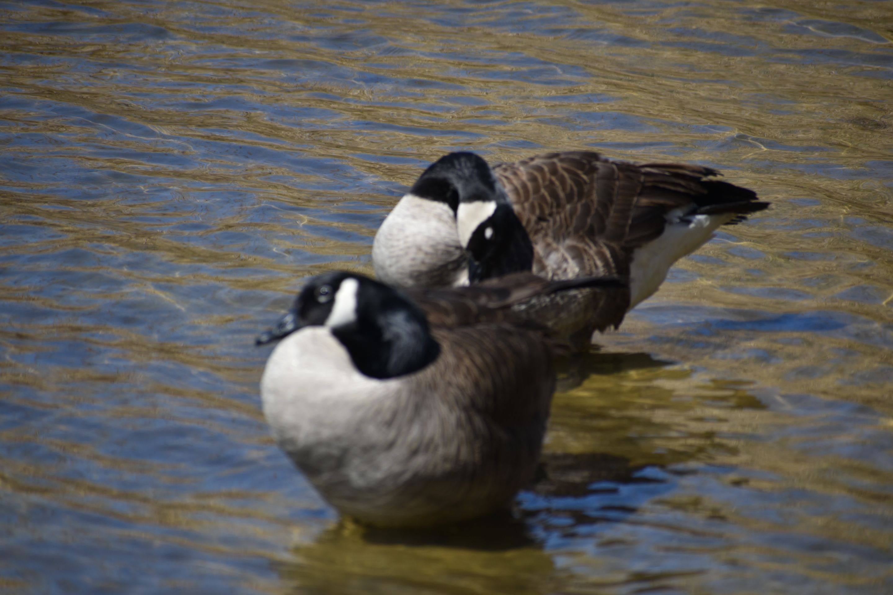
Natives still frequent the landing /
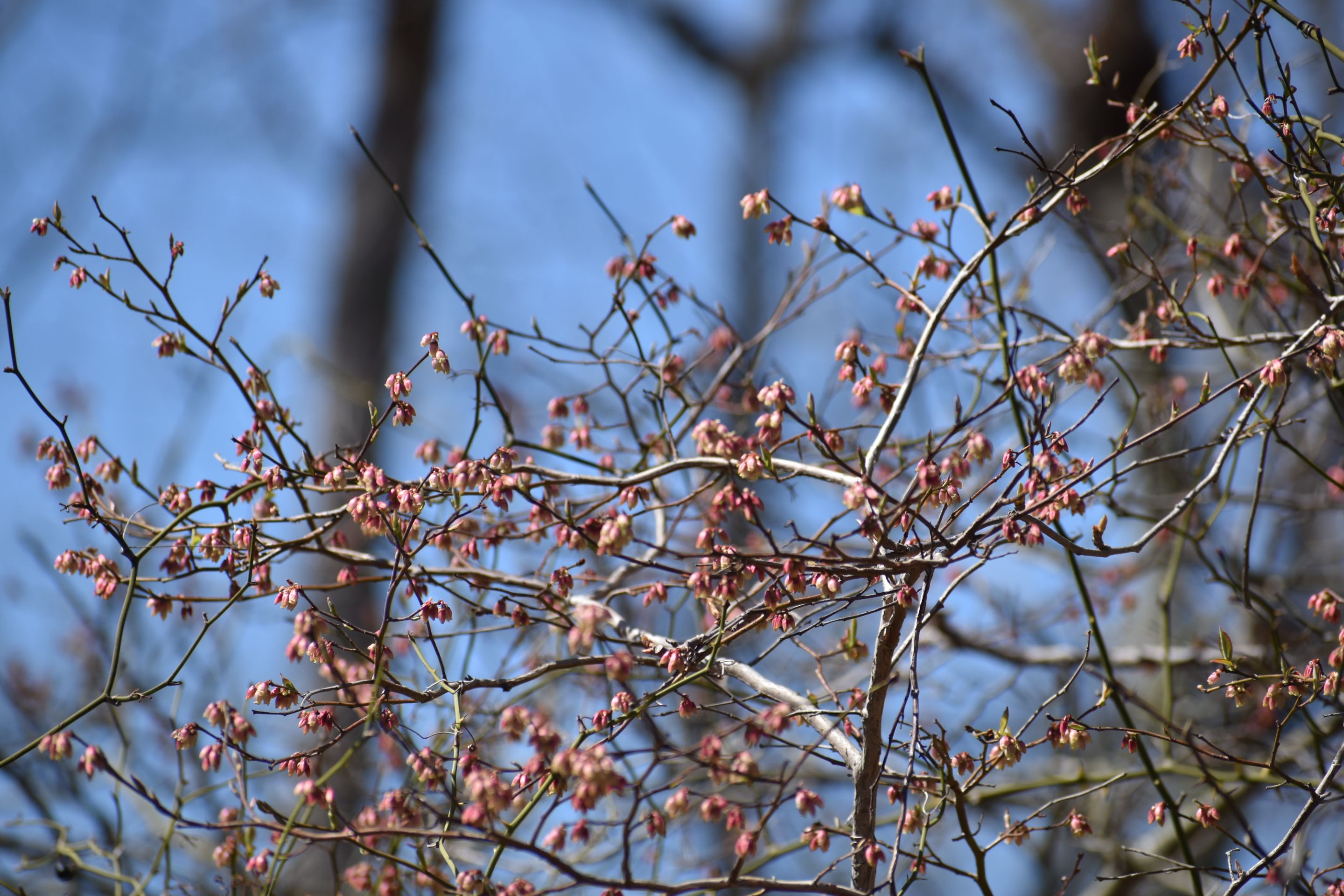
Flowers just emerging on the High bush blueberry /
