Greetings friends of Hive and @fulldeportes, today I am going to share with you my mountain hiking training on the El Samán - Dimas route, in the community of Villa de Cura, Zamora municipality, Aragua state, Venezuela.
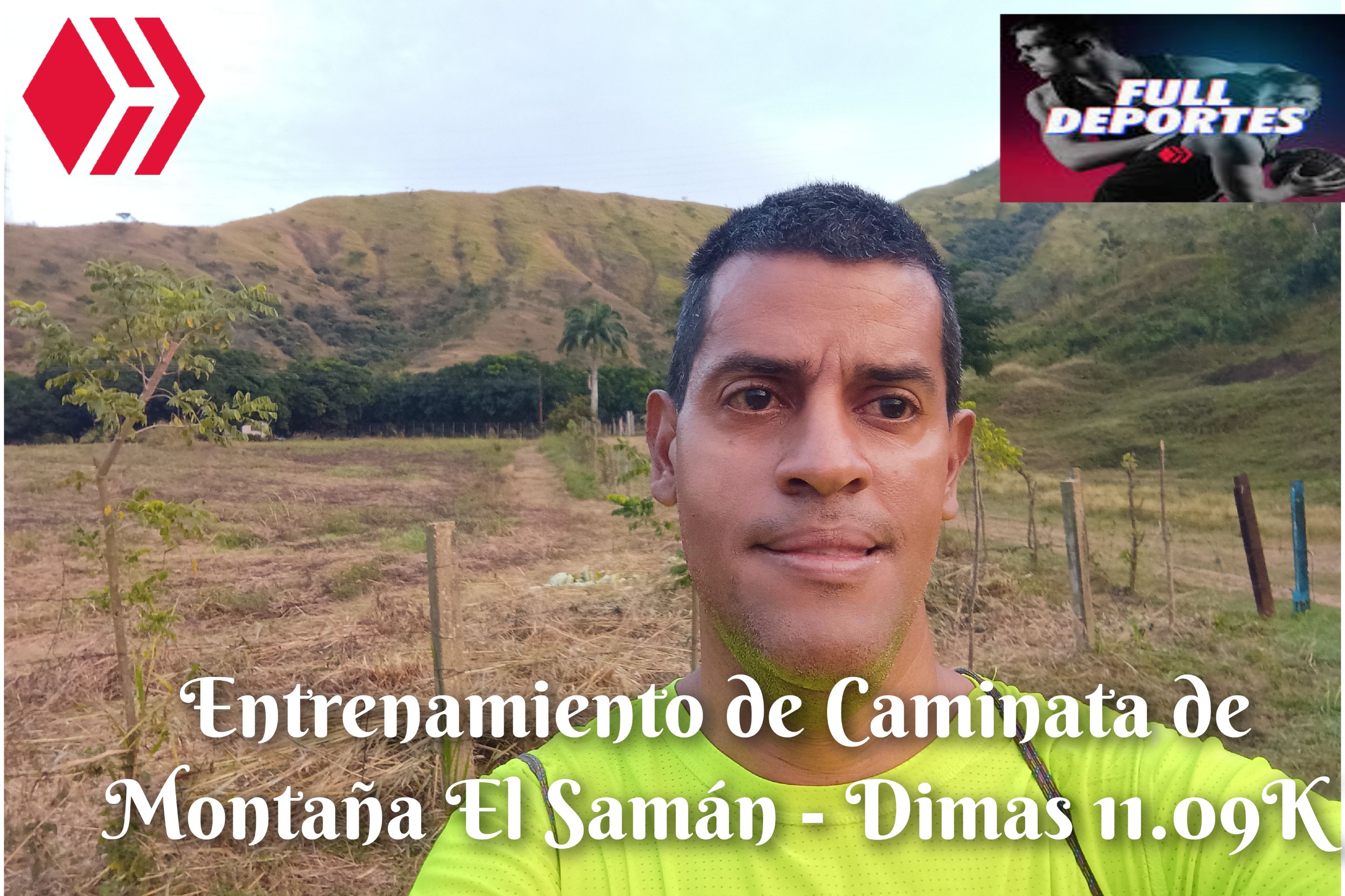
Este entrenamiento no lo había planificado, porque pensaba descansar debido a que ayer había salido a otro municipio a realizar unas compras y después al llegar almorzamos y luego fui a acompañar a mi hijo a los juegos del torneo de Futsal, pero recibí un mensaje de texto de un amigo para entrenar el día de hoy, y le confirmé que si vamos a entrenar. Salimos a las 5:49 AM, activando la aplicación Strava para registrar este entrenamiento.
I hadn't planned this training because I was planning to rest since yesterday I had gone to another municipality to do some shopping and then when we arrived we had lunch and then I went to accompany my son to the Futsal tournament games, but I received a text message from a friend to train today, and I confirmed that we were going to train. We left at 5:49 AM, activating the Strava application to record this training.

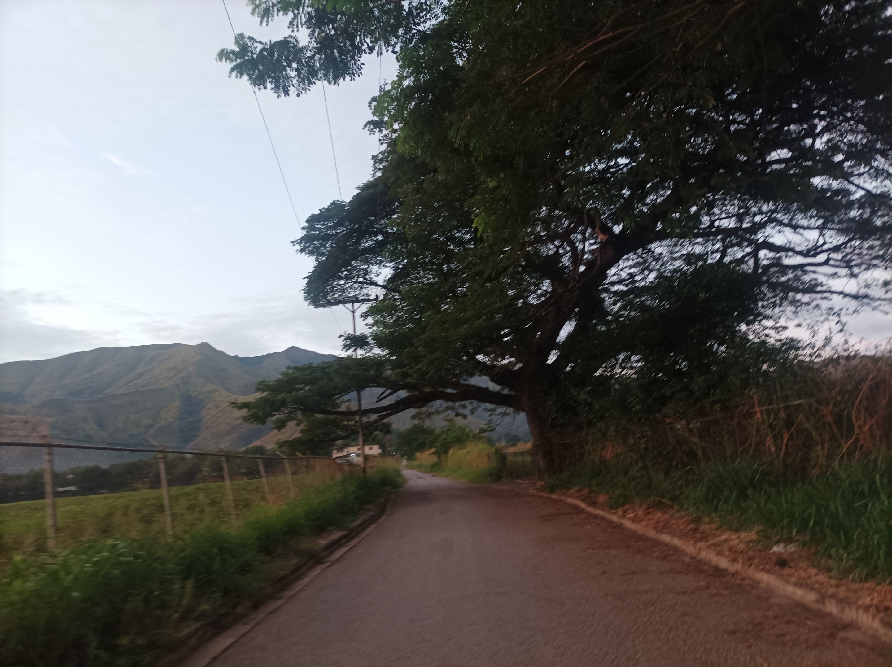
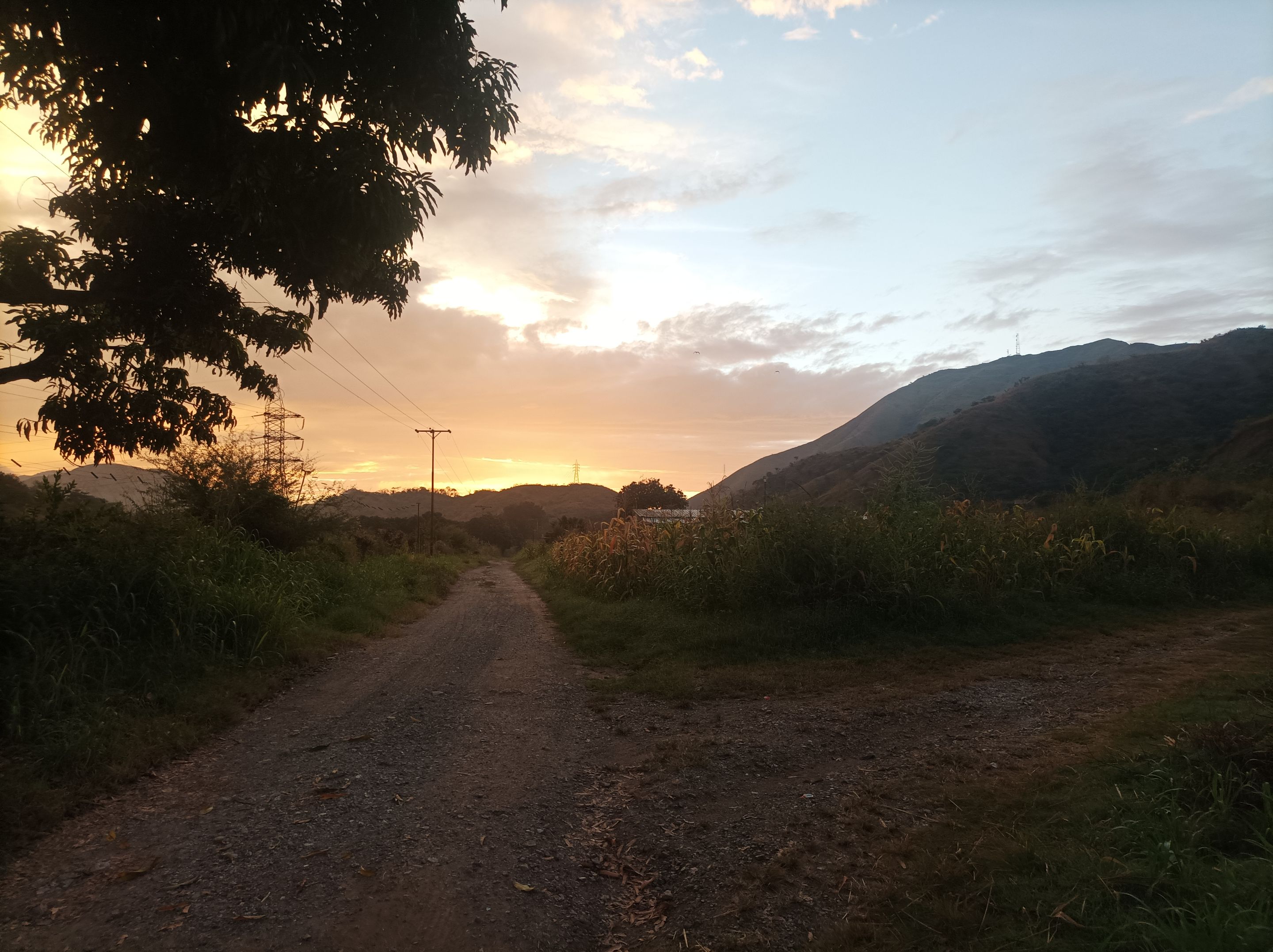
Desde que iniciamos la caminata a un ritmo suave, pasando por la avenida Lisandro Hernández, y recorrer más adelante la carretera nacional Villa de Cura - San Juan, llegando al frente del monumento de Ezequiel Zamora con una marca de 25 minutos, a medida que avanzamos se podía apreciar la salida del sol con un bello amanecer, en toda la entrada del asentamiento campesino El Samán el reloj marco un tiempo de 33 minutos.
Since we started the walk at a gentle pace, passing through Lisandro Hernández Avenue, and later traveling along the Villa de Cura - San Juan national highway, arriving in front of the Ezequiel Zamora monument at a mark of 25 minutes, as we advanced we could appreciate the sunrise with a beautiful dawn, at the entire entrance of the El Samán peasant settlement the clock marked a time of 33 minutes.
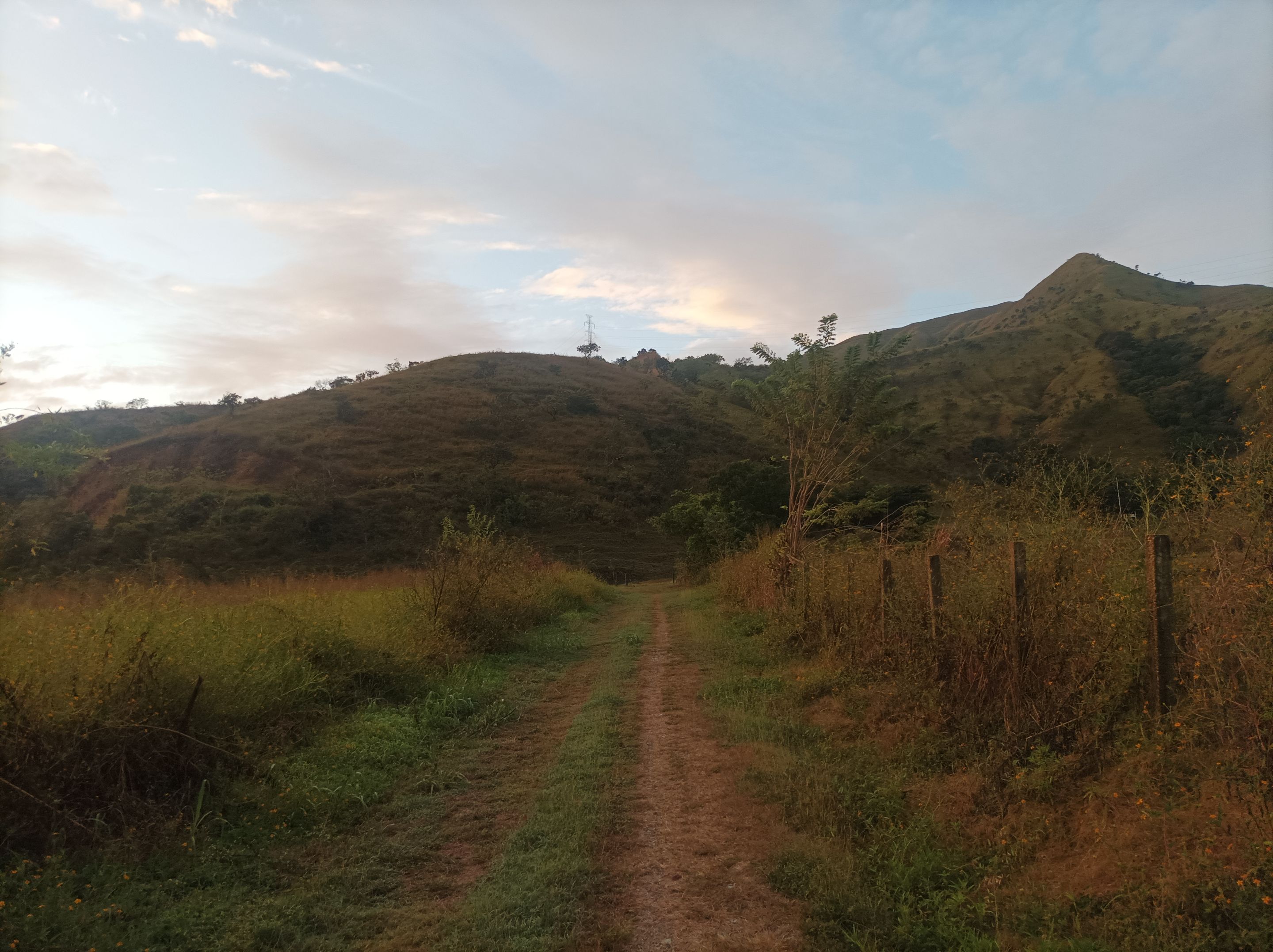
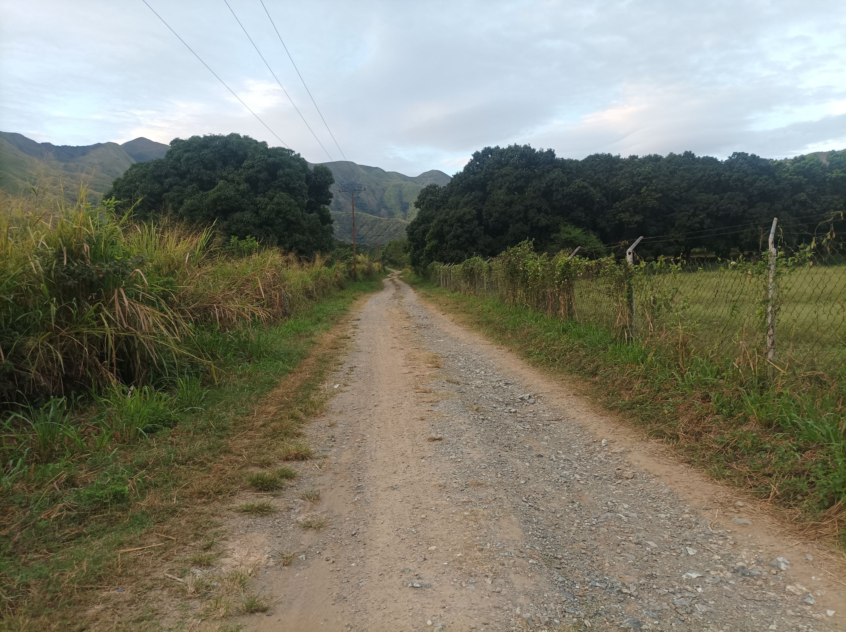
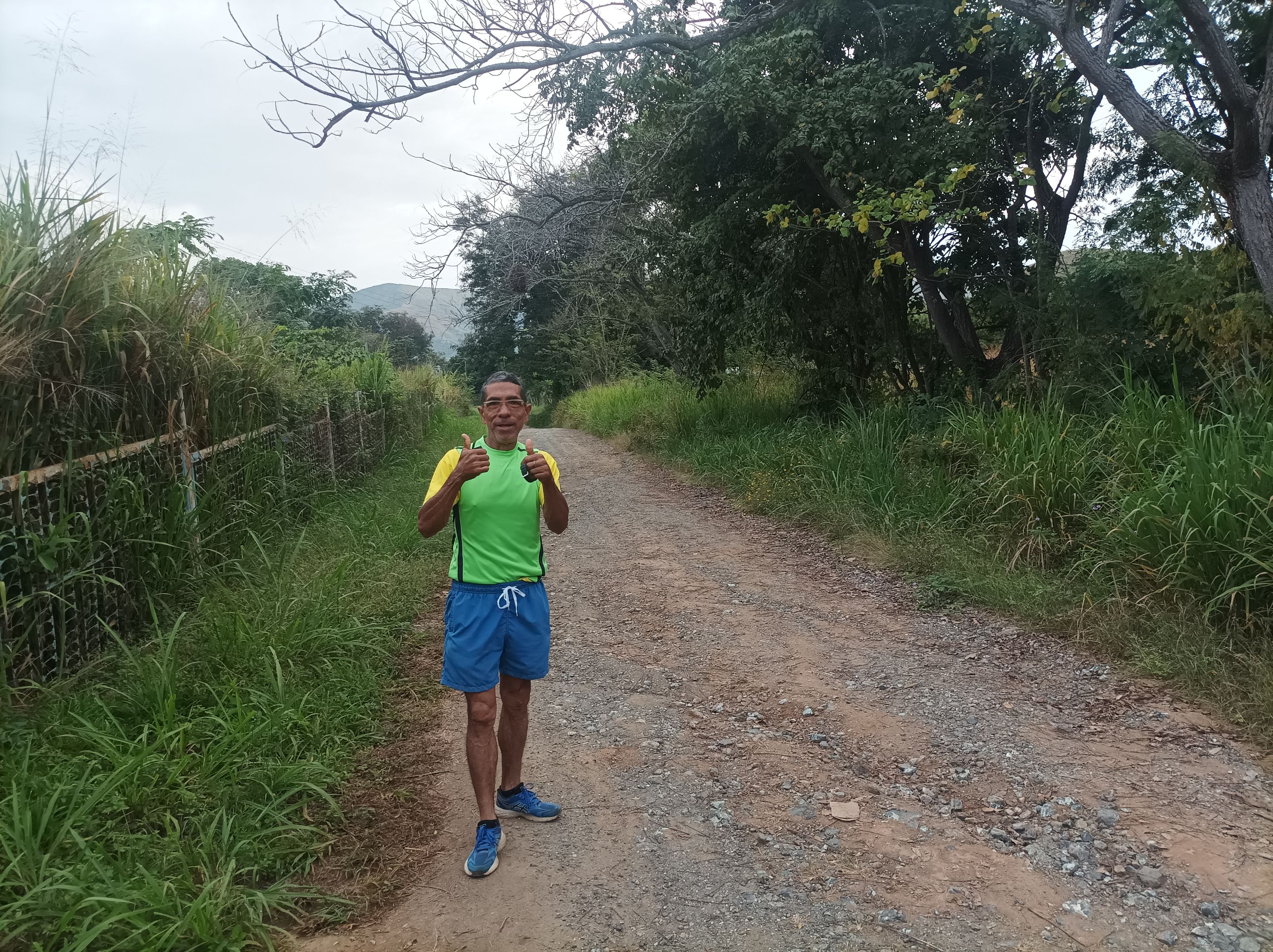
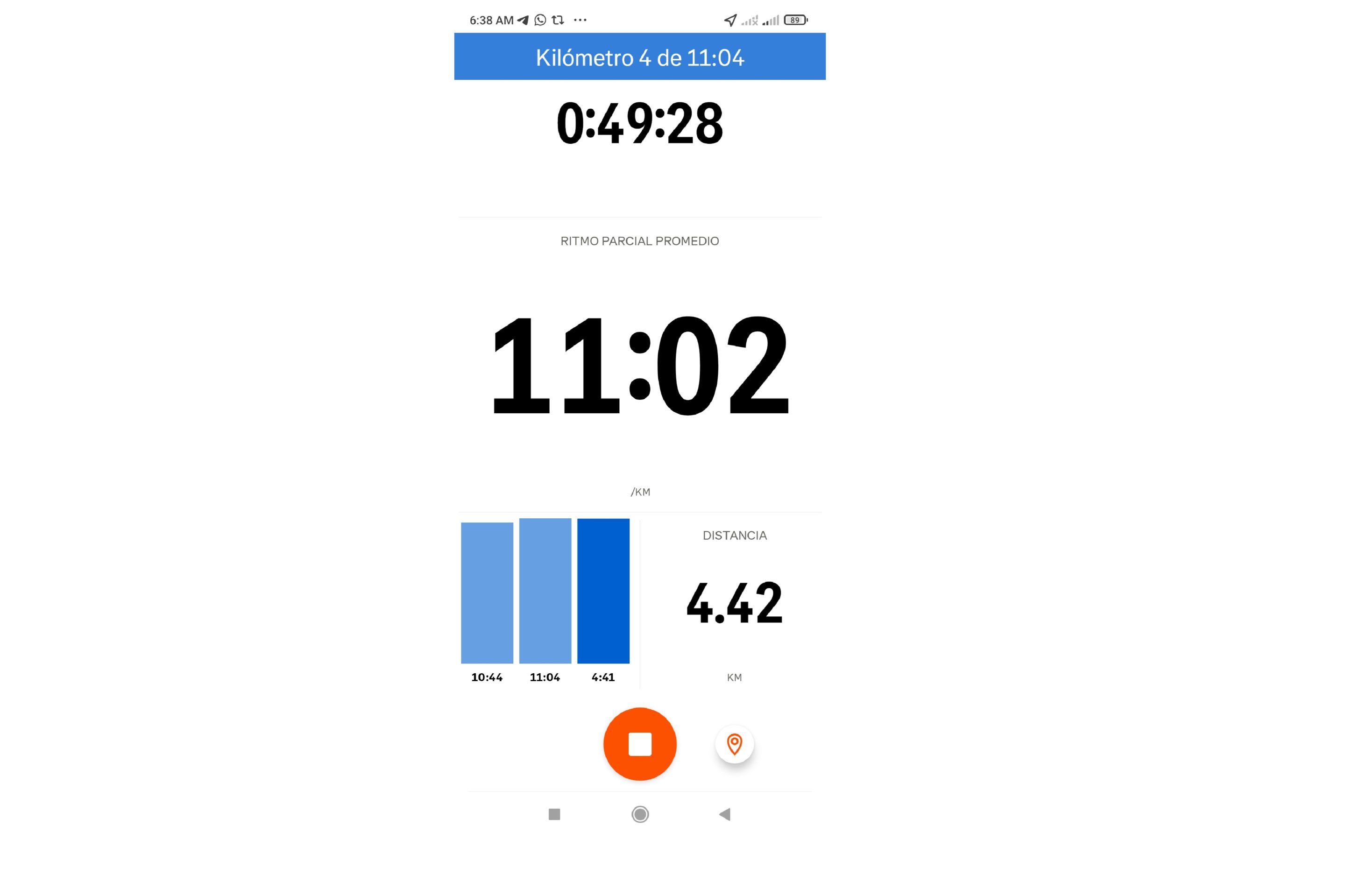
A partir de aquí nos adentramos a este asentamiento, recorriendo una recta para pasar a la segunda esquina y caminar la ruta nueva donde podemos ver las montañas cerca del Las Antenas de La Planta, está es una carretera que no tiene salida al final nos devolvimos para nuevamente retomar la vuelta al Samán, y subir por el sector Dimas, está carretera tampoco tiene salida, por lo cual llegamos al final con una distancia de 6.5K, para regresarnos y retomar la recta de El Samán.
From here we entered this settlement, traveling along a straight road to go to the second corner and walk the new route where we can see the mountains near Las Antenas de La Planta, this is a road that has no exit at the end we turned back to again resume the return to El Samán, and go up through the Dimas sector, this road also has no exit, so we reached the end with a distance of 6.5K, to return and resume the straight road of El Samán.
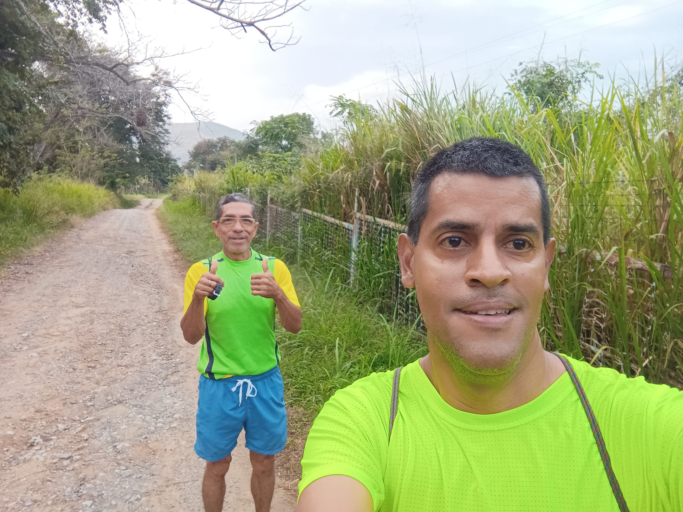
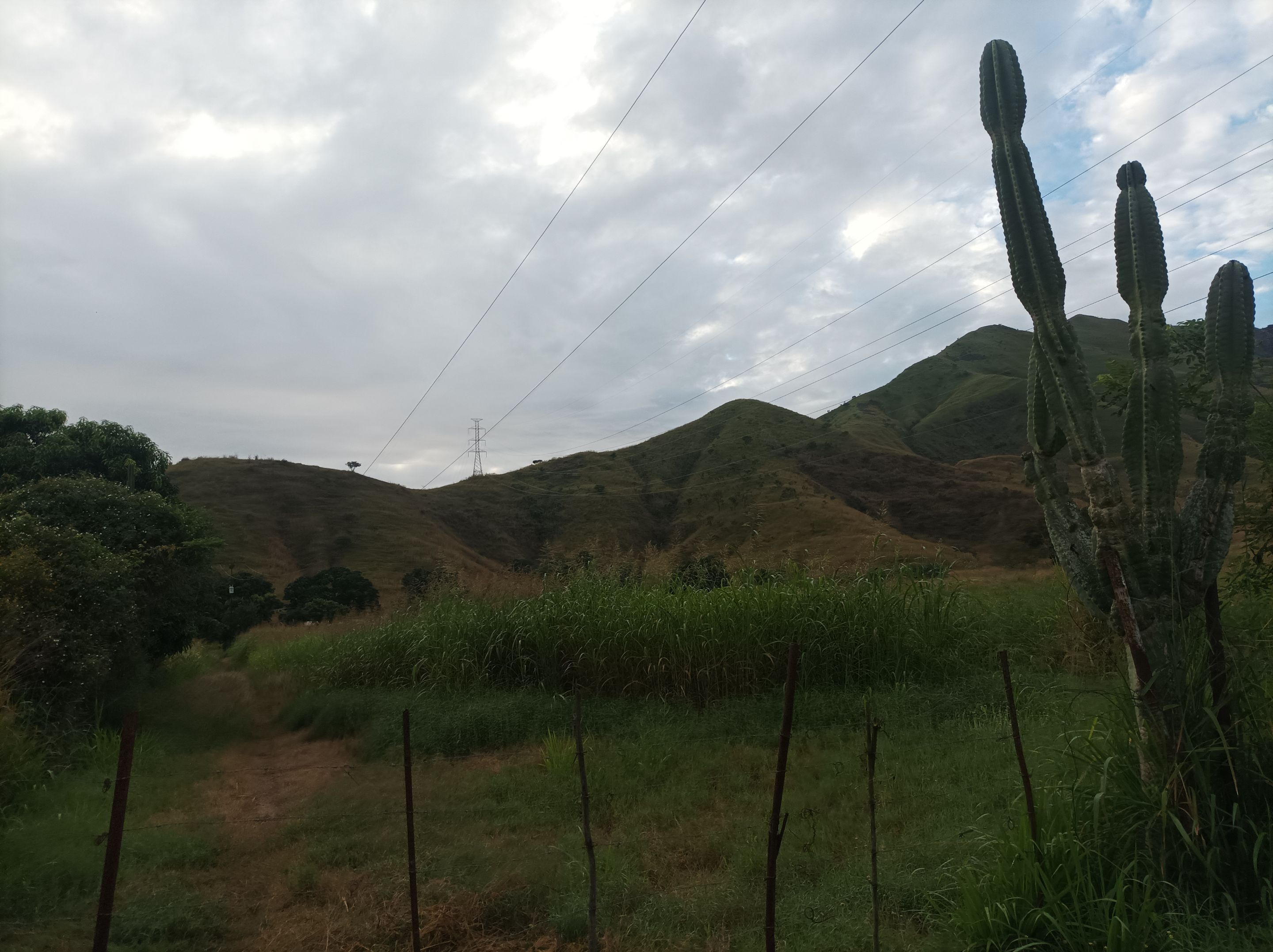
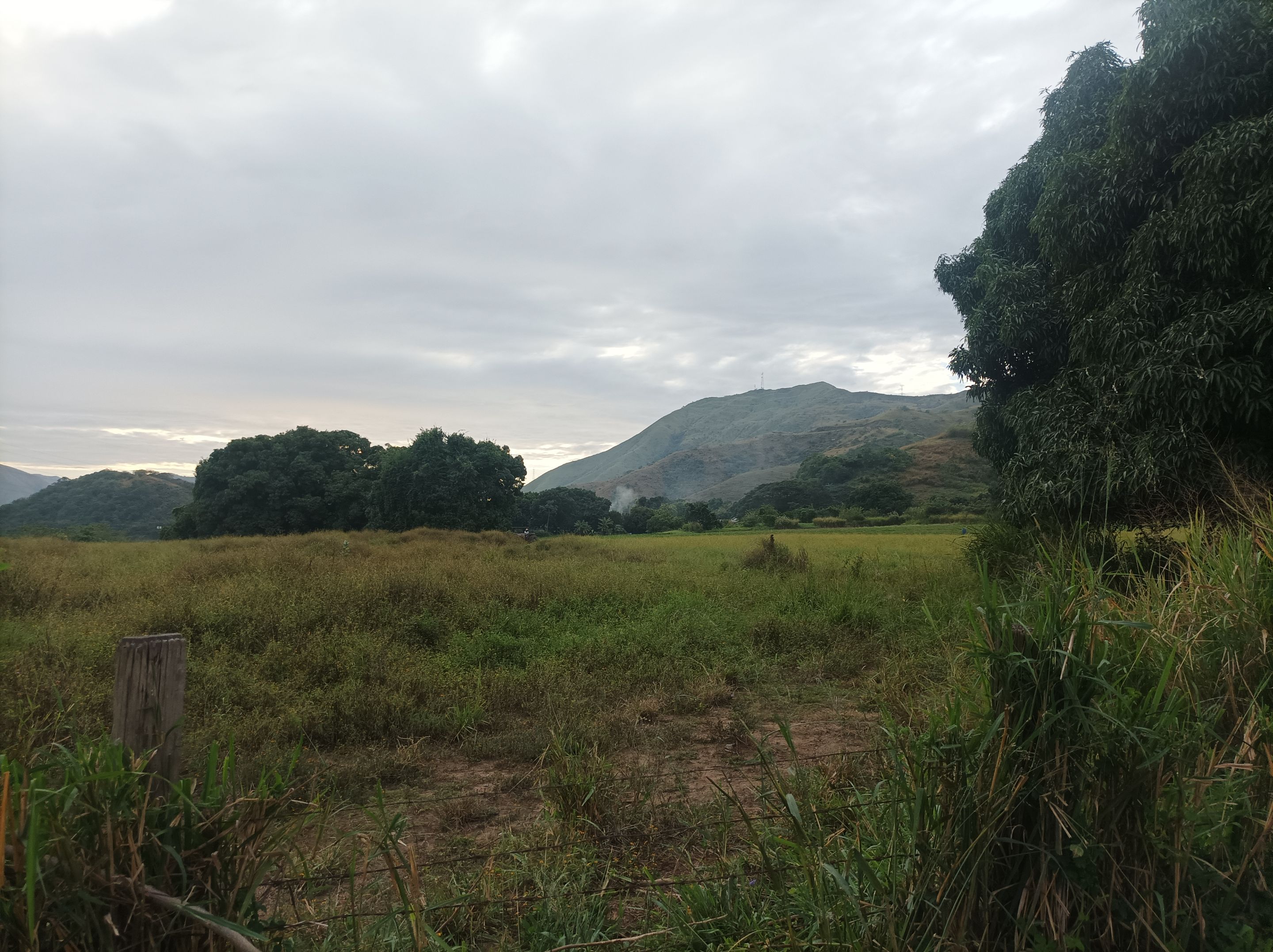
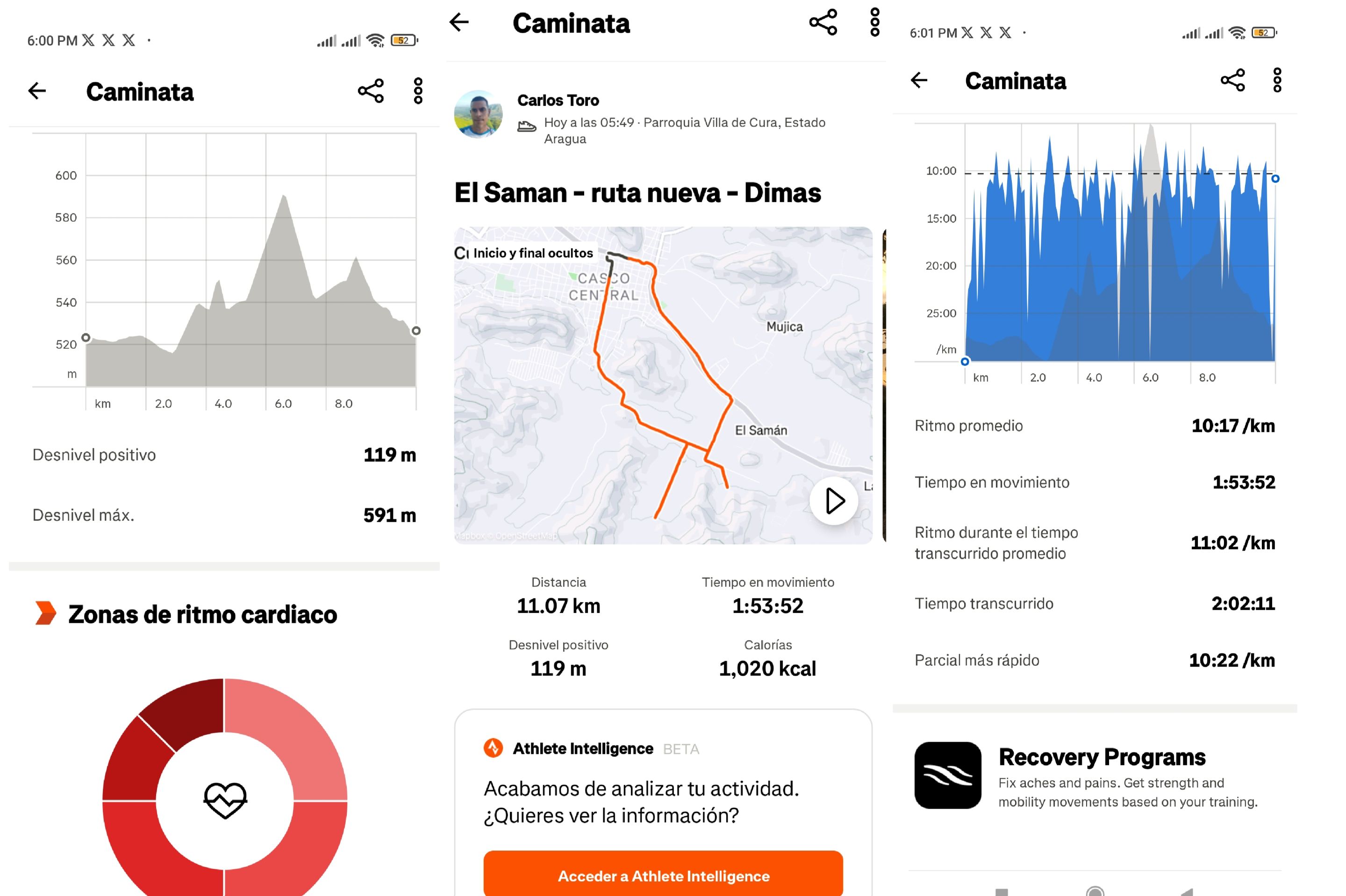
Asimismo continuamos el recorrido para luego llegar a la subida y pasar por el sector Santa Eduviges, La Represa y llegar al centro de Villa de Cura, para finalizar el entrenamiento en tiempo de 2 horas 2 minutos, con una distancia de 11.02K, desnivel máximo 591m y desnivel positivo de 119 metros, registrado en Strava.
We continued the route to then reach the climb and pass through the Santa Eduviges sector, La Represa and reach the center of Villa de Cura, to finish the training in a time of 2 hours 2 minutes, with a distance of 11.02K, maximum elevation gain of 591m and positive elevation gain of 119 meters, recorded on Strava.
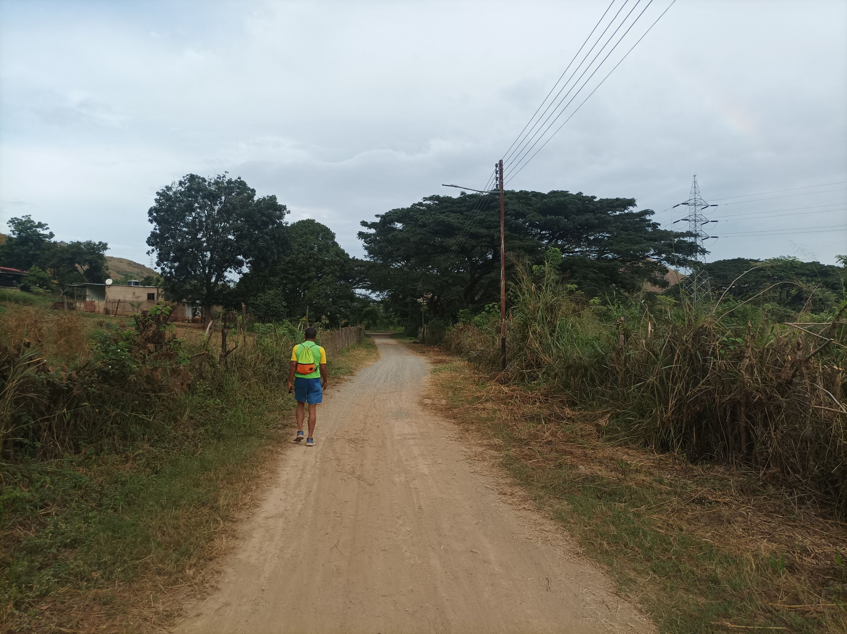
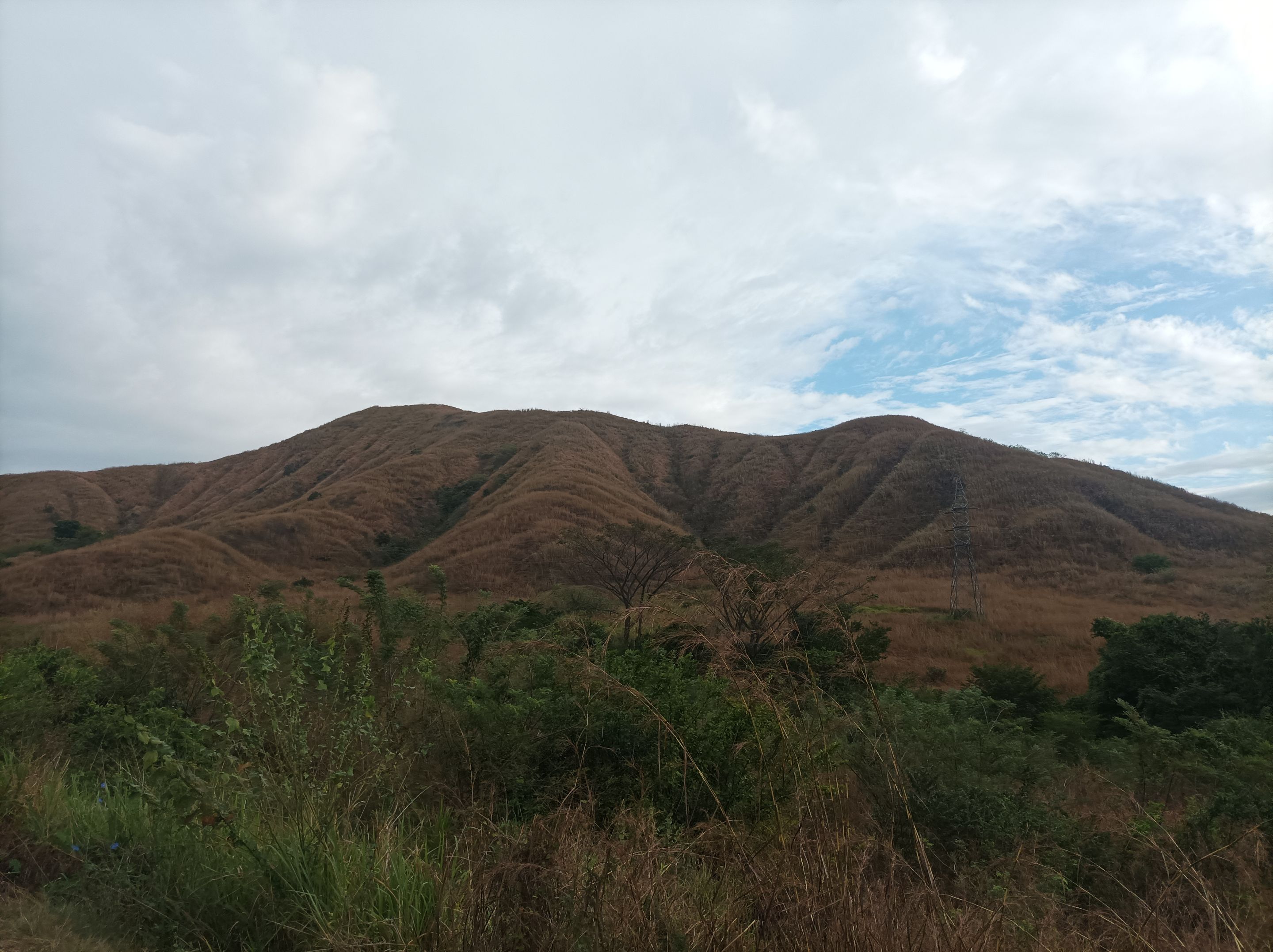
Espero que les haya gustado mi entrenamiento de caminata de montaña, nos vemos en el próximo.
I hope you liked my mountain walking training, see you in the next one.
Fotografías: Teléfono Redmi Note 10
Portada realizada en APP GridArt
Logos utilizados de Hive y de fulldeportes
Traductor utilizado: Traductor de Google
Photos: Redmi Note 10 Phone
Cover made in The APP GridArte
Used logos of Hive and fulldeportes
Translator used: Translator used: Google Translate

Vote la-colmena for witness By @ylich

Posted Using InLeo Alpha