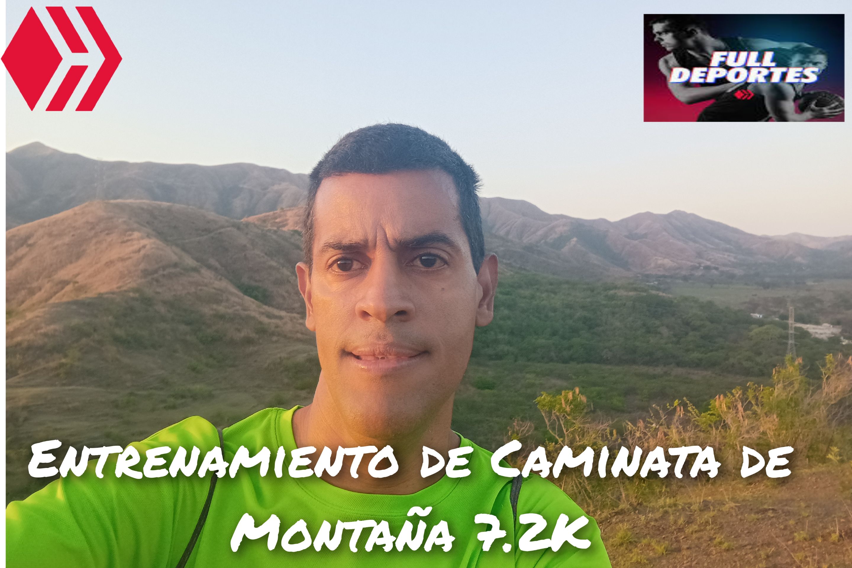
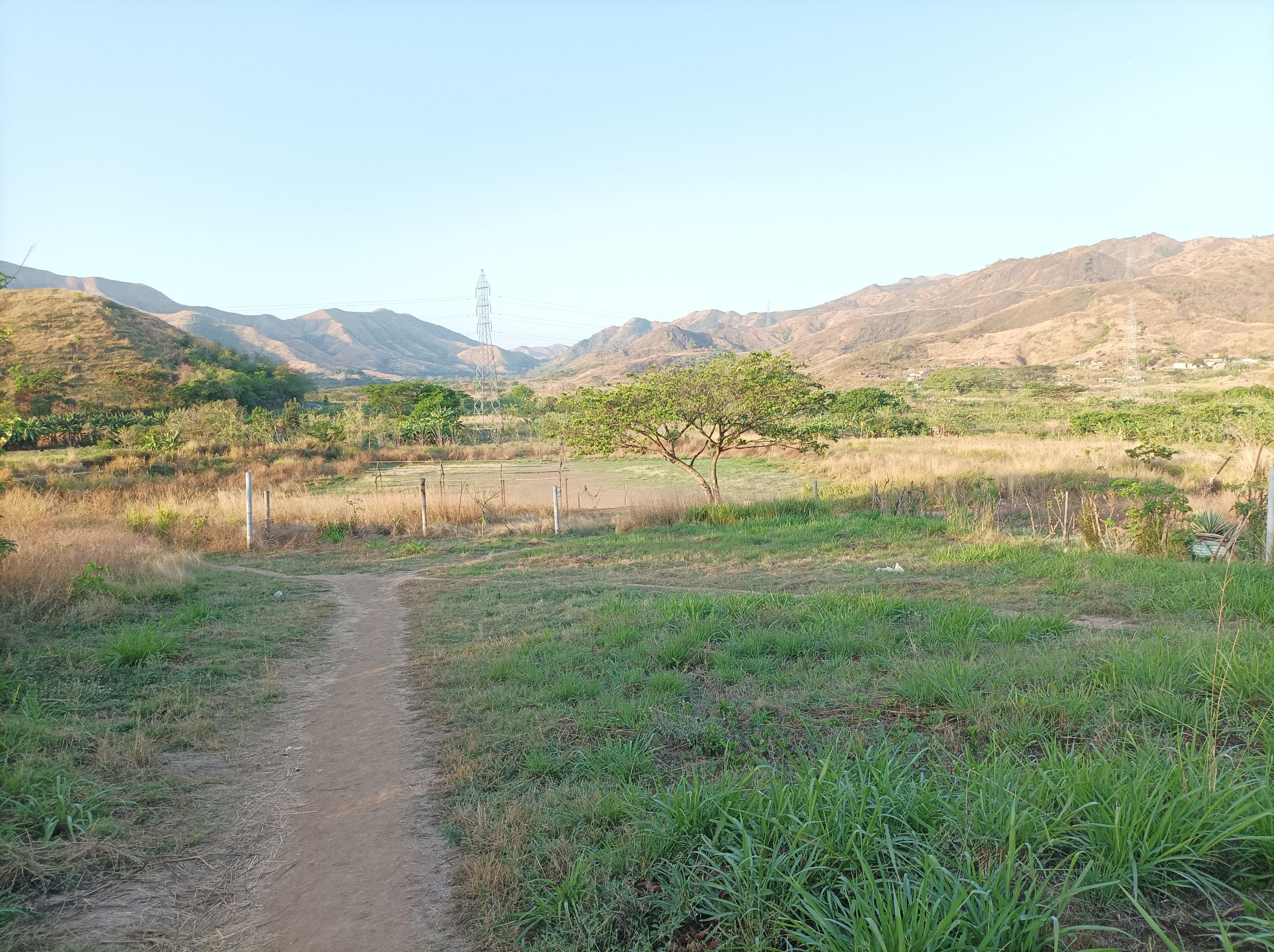
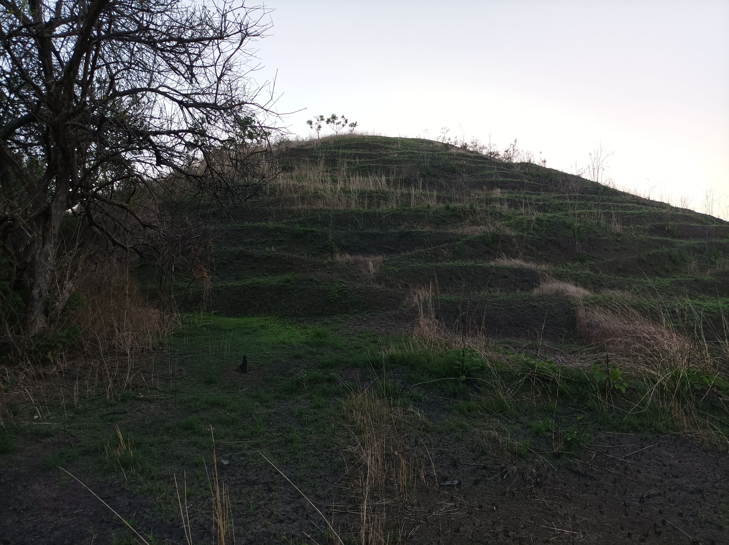
Greetings friends of Hive and @fulldeportes, today I'm going to share with you my mountain hiking training in the route of the hill on the road El Samán- - Malpica El Toro, in the community of Villa de Cura, Aragua state, Venezuela.
Cabe destacar que tenía tiempo que no subía esta montaña, porque el acceso era un poco difícil debido a que los arbustos estaban demasiado altos, pero como una parte se quemó, entonces está más despejado el camino, por eso salí de mi casa a la 6:24 am, ya había aclarado y active la aplicación Strava para registrar este entrenamiento, comencé caminando a un ritmo promedio de 9 minutos por Km.
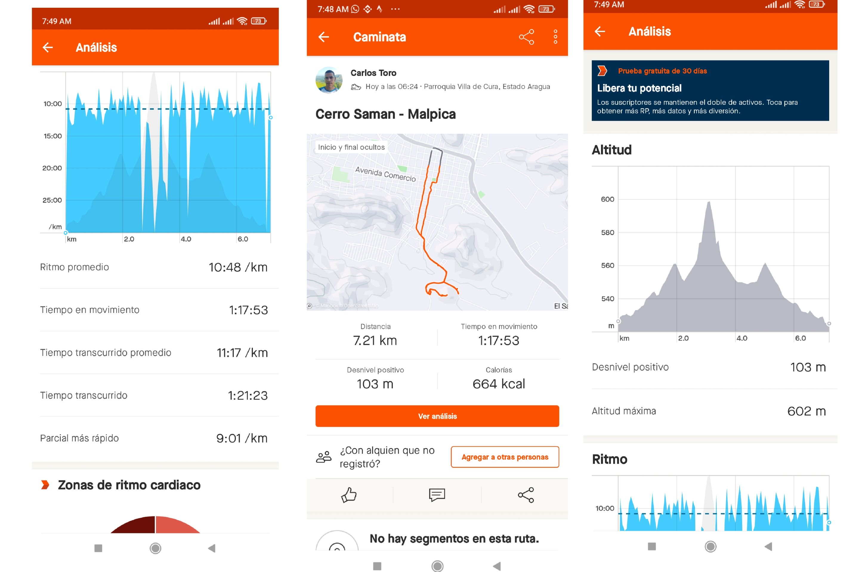
It is worth noting that I had time that I did not climb this mountain, because the access was a little difficult because the bushes were too high, but as a part was burned, then it is clearer the way, so I left my house at 6:24 am, it had already cleared and activate the Strava application to record this training, I started walking at an average pace of 9 minutes per km
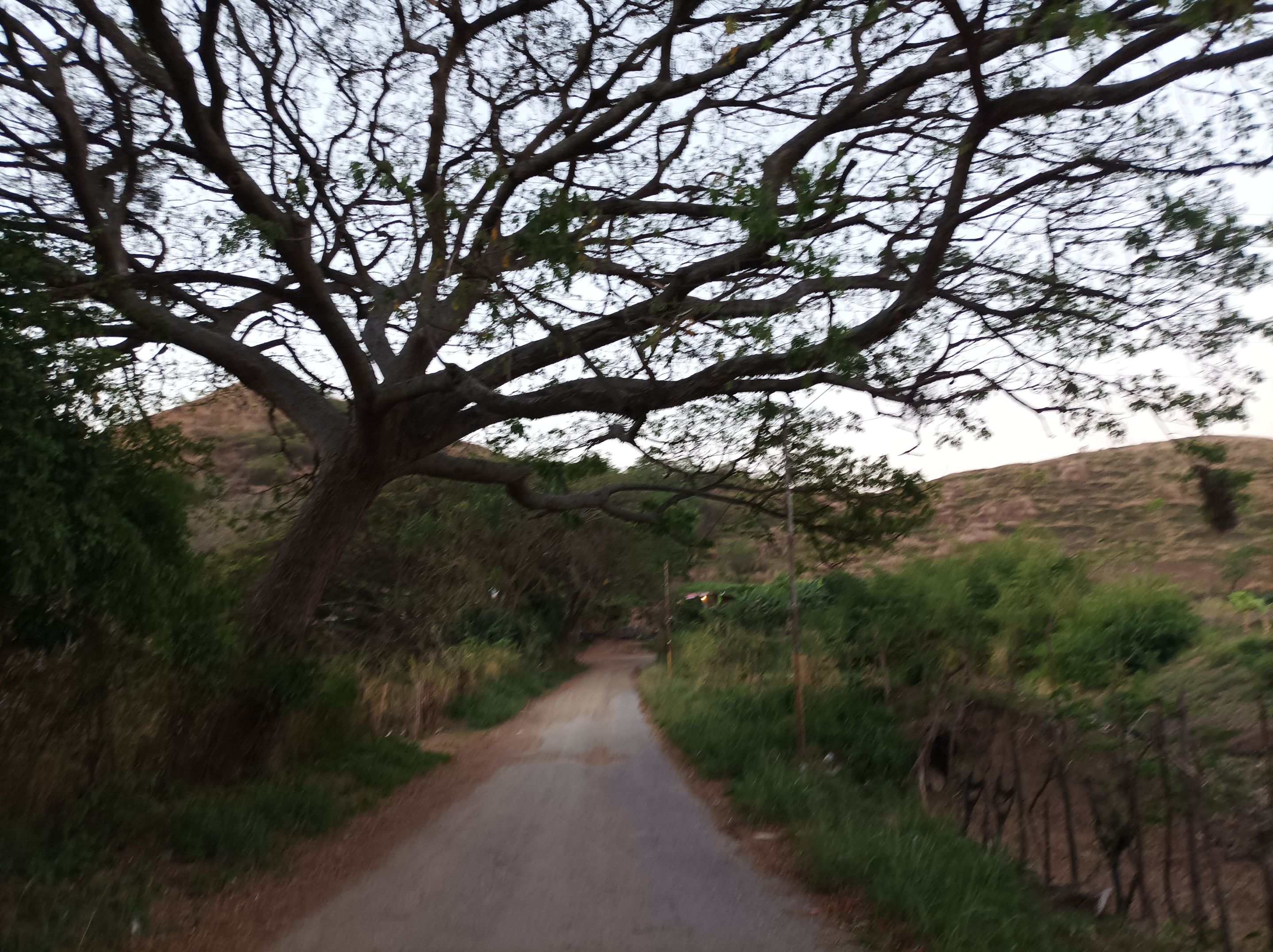
Asimismo pase por todo el centro de la comunidad y me dirigí al sector de La Represa, al llegar a la escuela, llevaba un tiempo de 9 minutos, a partir de allí, comienzo a subir para llegar a Santa Eduviges y luego llegar al Samán con un tiempo de 20 minutos, para tomar en la derecha, la vía hacia Malpica El Toro, esta montaña se encuentra alrededor de la carretera, hay una pequeña entrada para poder subir.
also passed through the center of the community and went to the sector of La Represa, when I arrived at the school, I had a time of 9 minutes, from there, I start to climb to reach Santa Eduviges and then reach the Saman with a time of 20 minutes, to take on the right, the road to Malpica El Toro, this mountain is located around the road, there is a small entrance to climb.
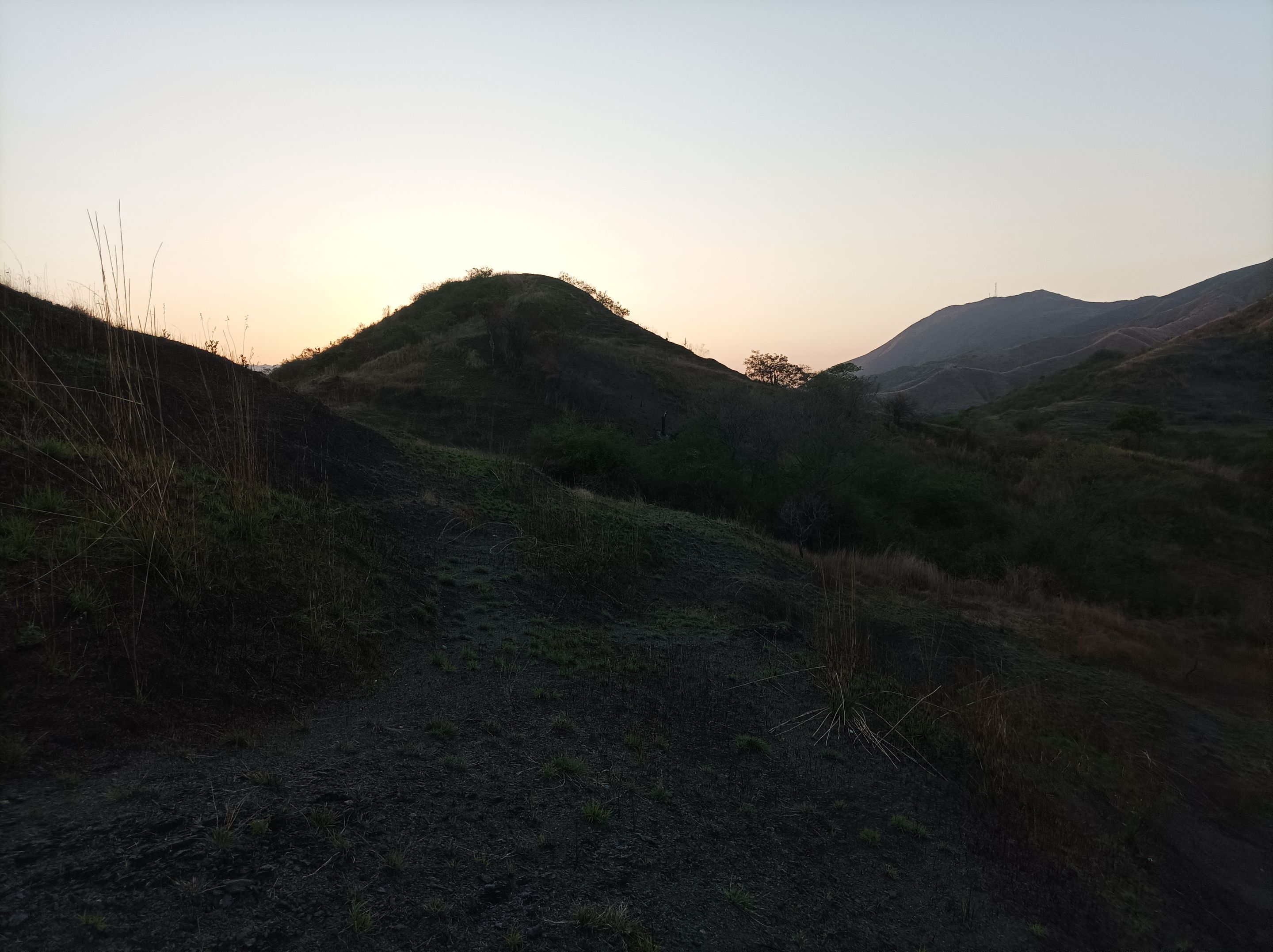
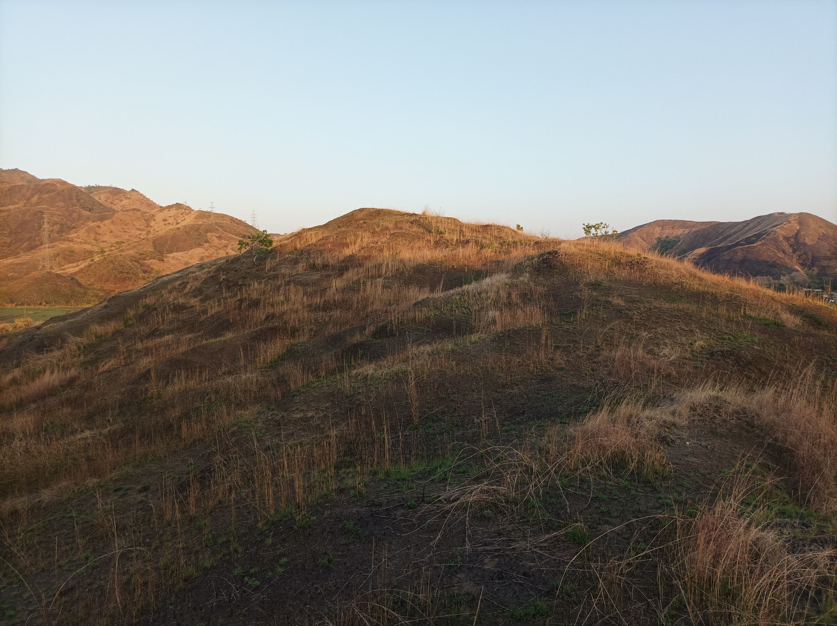
Al comenzar me encuentro con una subida empinada pero corta y desde allí podemos ver el cerro El Toquito y también la ruta de la vuelta al Samán, más adelante continúe caminando y vienes una pendiente que parece una pirámide de lo inclinado que es, tuve que buscar un bastón con una rama para poder subir, y llegué a la cima de esta montaña con un tiempo de 34 minutos, después me hidrate y me regresé para comenzar a bajar.
At the beginning I find a steep but short climb and from there we can see the hill El Toquito and also the route of the return to the Saman, later continue walking and you come a slope that looks like a pyramid of how steep it is, I had to look for a cane with a branch to climb, and reached the top of this mountain with a time of 34 minutes, then I hydrated and I returned to start down
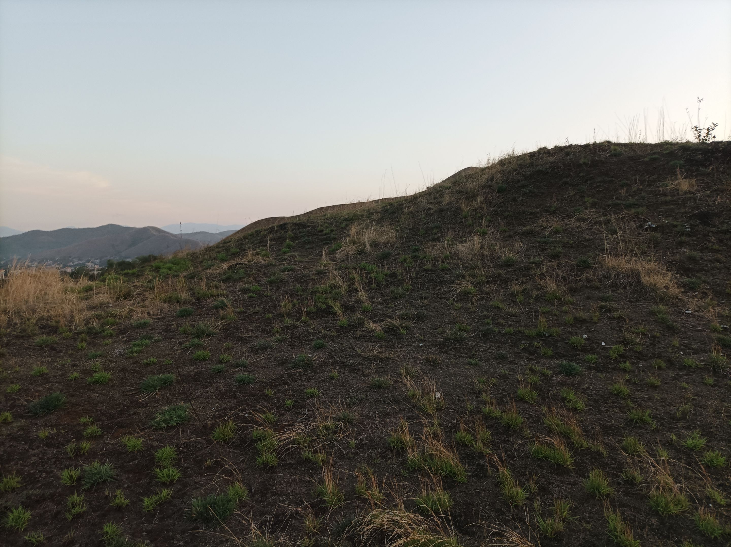
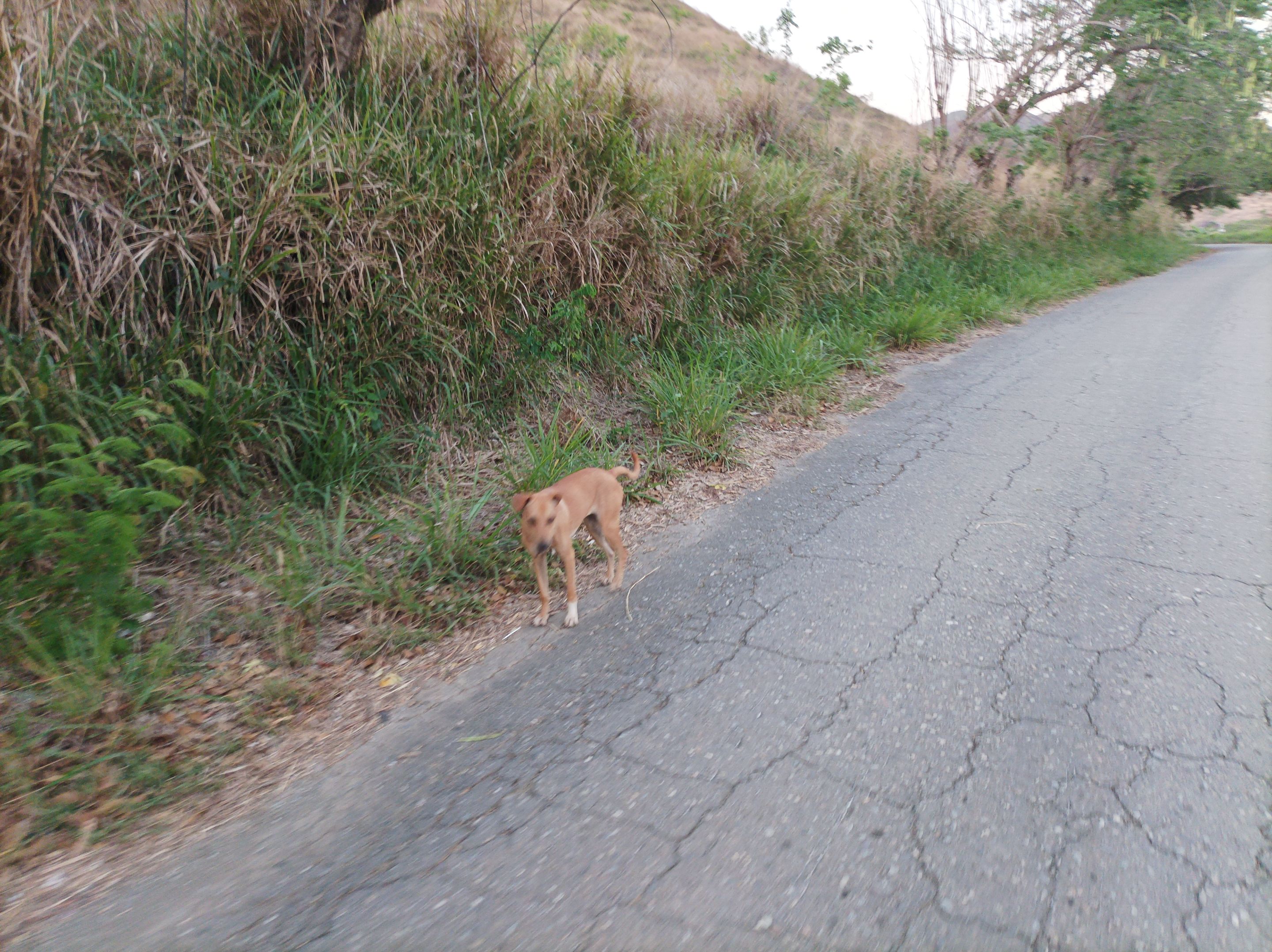
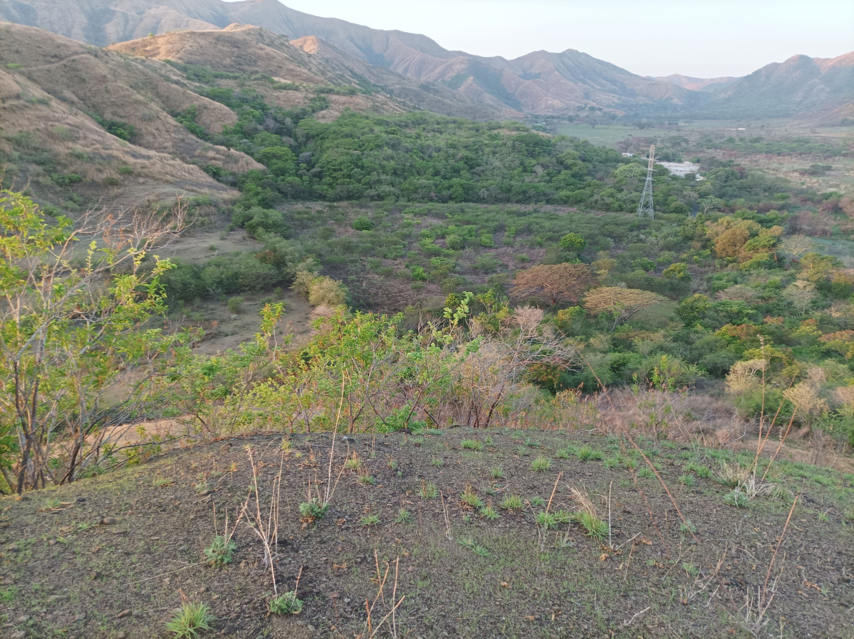
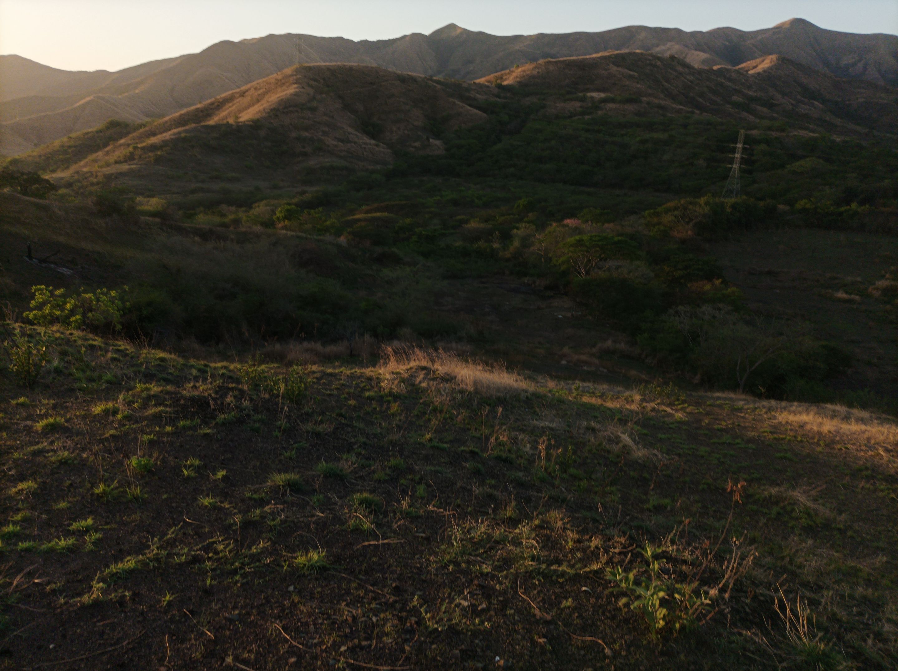
Al bajar, igualmente tome un bastón porque está era demasiado inclinado para evitar caerme, esta ruta le ha he realizado como tres veces, recuerdo que una vez la hice con mi amigo Negrito, termine de bajar y llegué a la carretera para volver al Samán y después tomar la ruta hacia la represa.
On the way down, I also took a cane because it was too steep to avoid falling, I have done this route about three times, I remember that once I did it with my friend Negrito, I finished the descent and reached the road to return to Samán and then take the road to the dam.
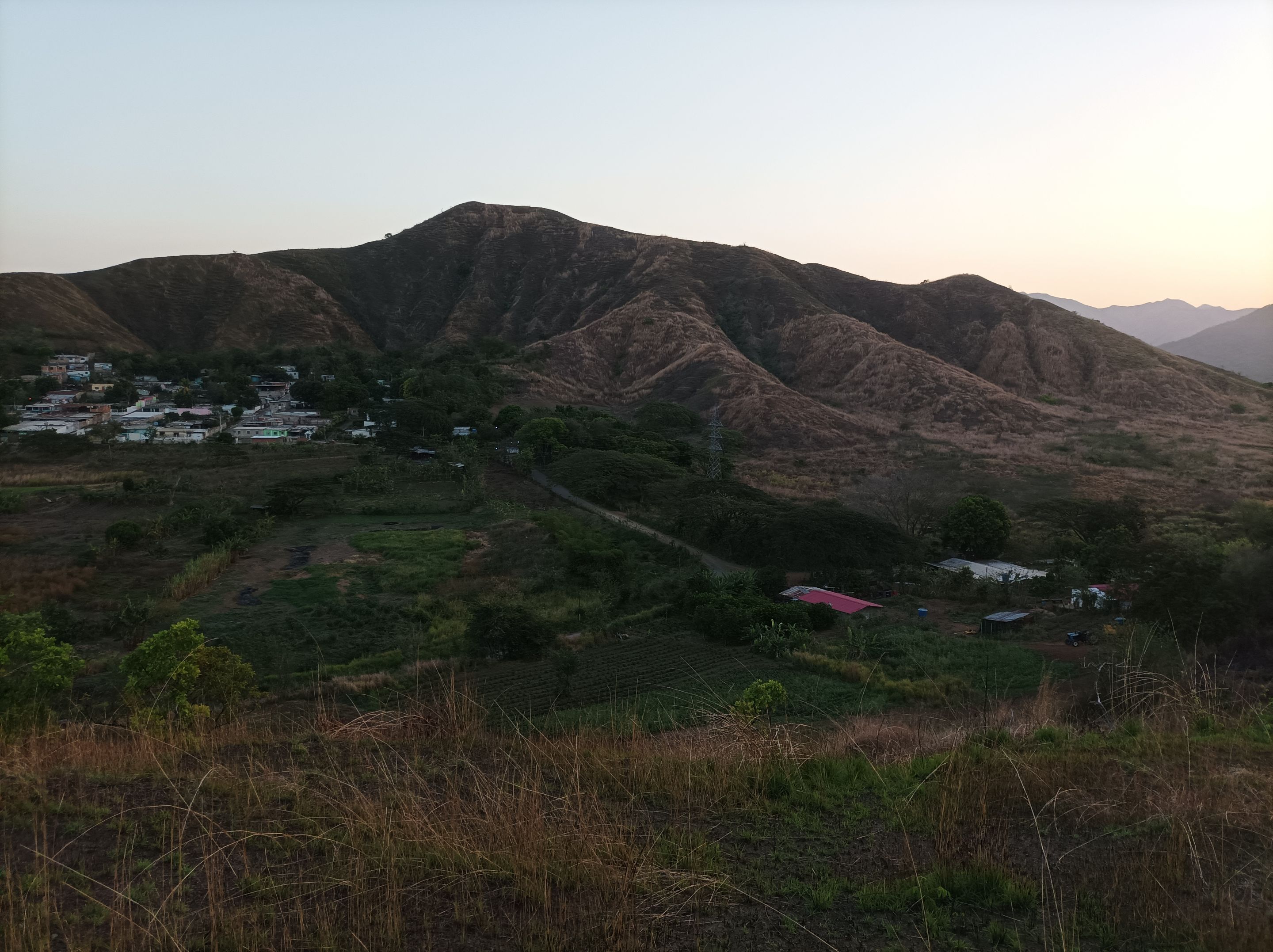
Cabe resaltar que al llegar al centro de la comunidad de Villa de Cura, baje por otras calles para hacer una mayor distancia y llegué a la avenida Lisandro Hernández, terminando mi entrenamiento con un tiempo de 1 hora 21 minutos, una distancia de 7.21 K, con una altura máxima de 602 m.
It should be noted that when I reached the center of the community of Villa de Cura, I went down other streets to do a longer distance and arrived at Lisandro Hernandez Avenue, finishing my training with a time of 1 hour 21 minutes, a distance of 7.21 K, with a maximum altitude of 602 meters.
Espero que les haya gustado, nos vemos en un próximo entrenamiento.
I Hope you liked it, see you in the next training.
Fotografías: Teléfono Redmi Note 10
Portada realizada en APP GridArt
Logos utilizados de Hive y de fulldeportes
Traductor utilizado: Traductor de Google
Photos: Redmi Note 10 Phone
Cover made in The APP GridArte
Used logos of Hive and fulldeportes
Translator used: Translator used: Google Translate

Vote la-colmena for witness By @ylich