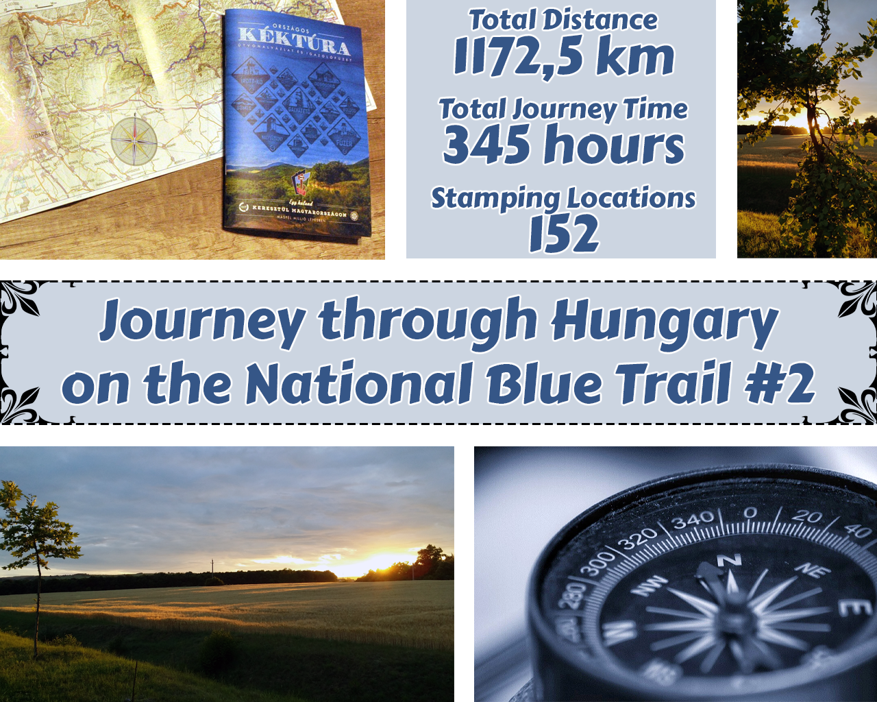
Welcome to Everyone who are here to visit my new journey through hills, mountains, meadows, forests and rivers walking on the National Blue Trail of Hungary. This would be my second episode of my journey and if you want to know more about it please read my previous post for the introduction here! 😇
Üdvözlök mindenkit aki szeretné végig kísérni az utamat dombokon, hegyeken, réteken, erdőkön és folyókon keresztül a magyarországi Országos Kéktúrán. Ez az utam második epizódja és ha többet szeretnél megtudni a túráról akkor kérlek látogasd meg az előző írásomat a linkre kattintva! 😇

Let's jump right in for the next part where I have left off my journey on top of the old castle of Szádvár and now it was time to climb down and continue to Derenk, which will be an old dead village and where is my third stamp will be located. 😉
Kezdjünk is bele a következő részbe mégpedig ott ahol abbahagytam a Szádvári romok tetején, ahonnan már csak lefelé kell haladni egészen a régen kihalt Derenki faluig ahol a harmadik pecsétem helyezkedik el. 😉

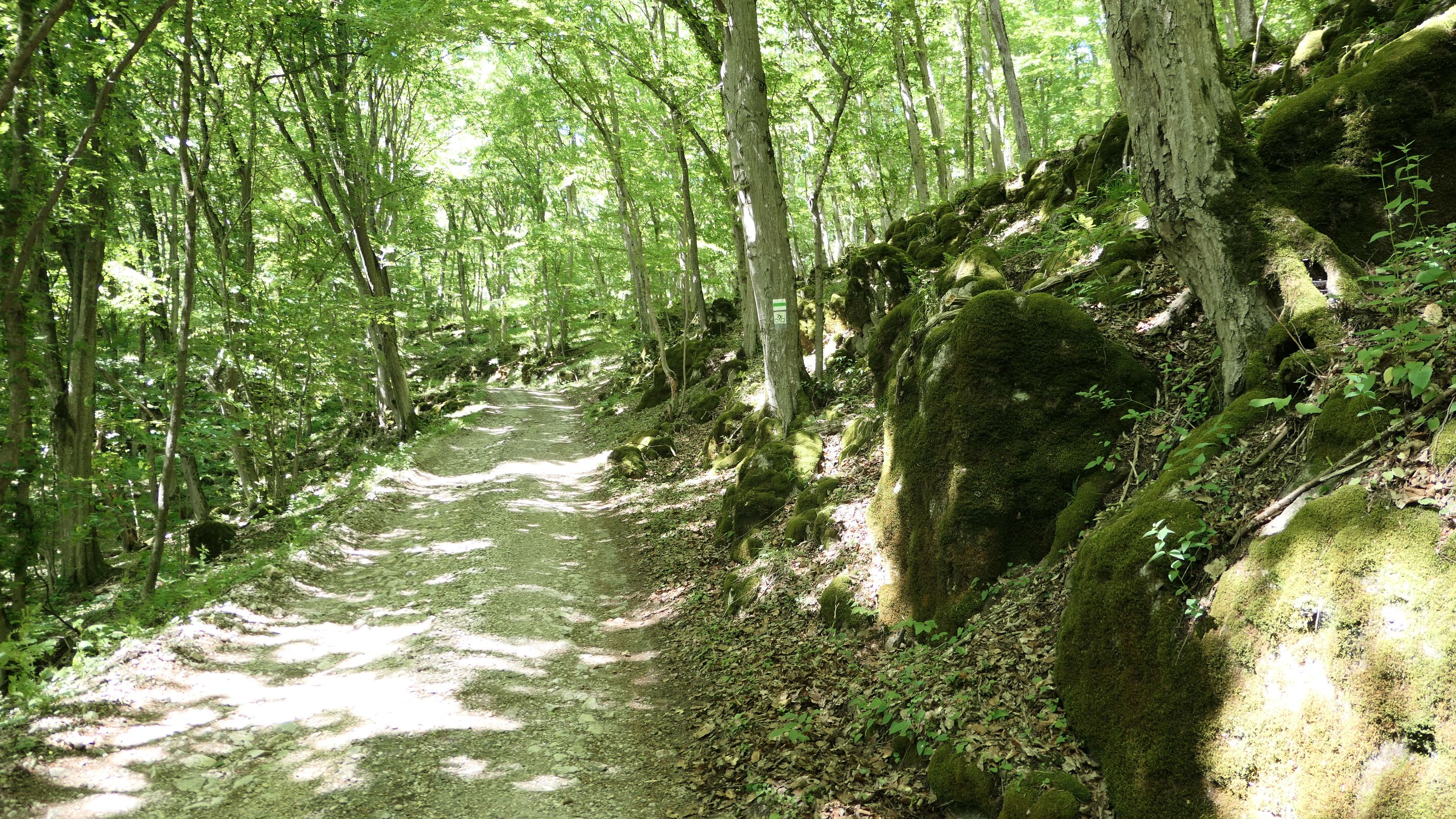
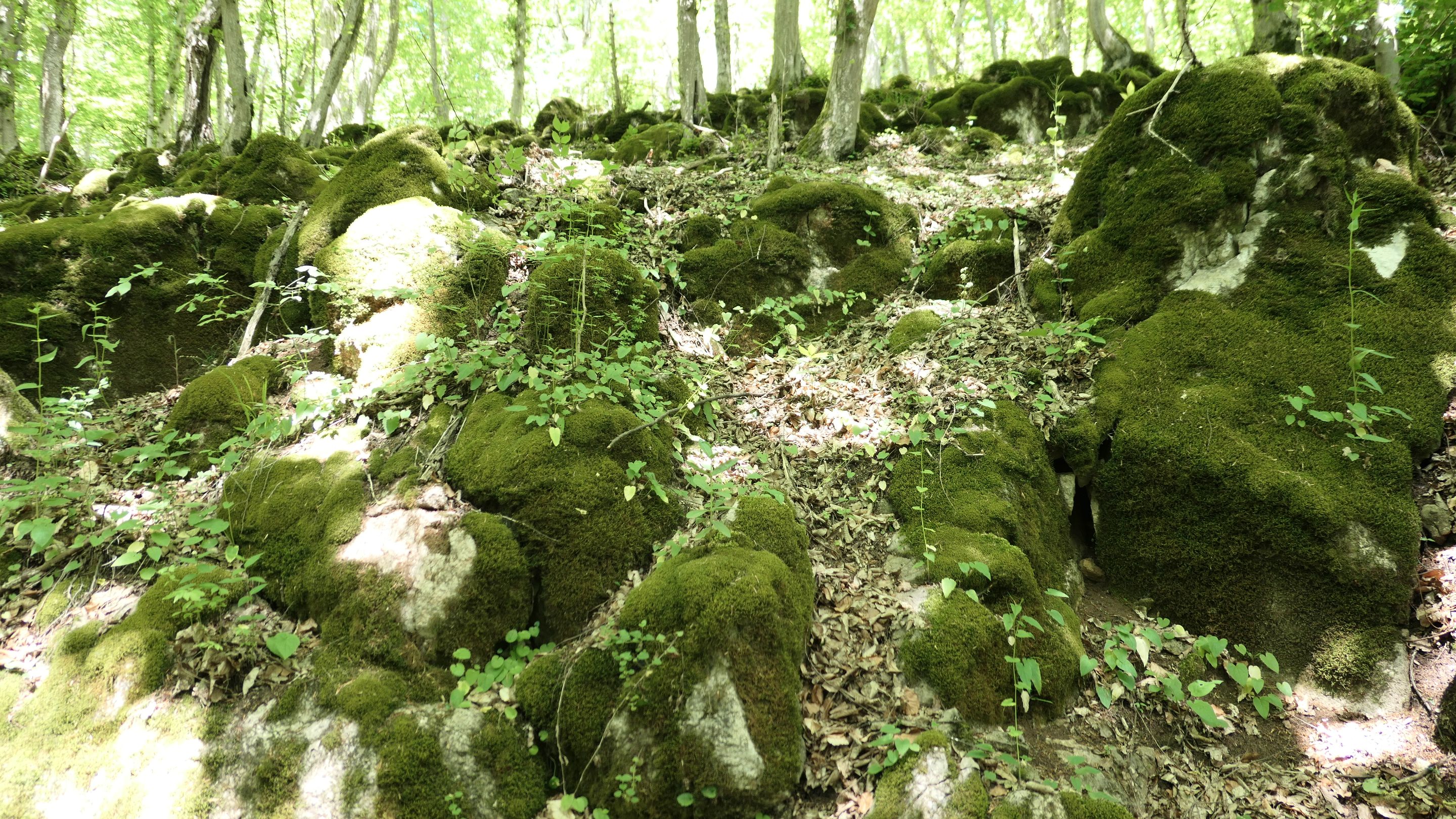
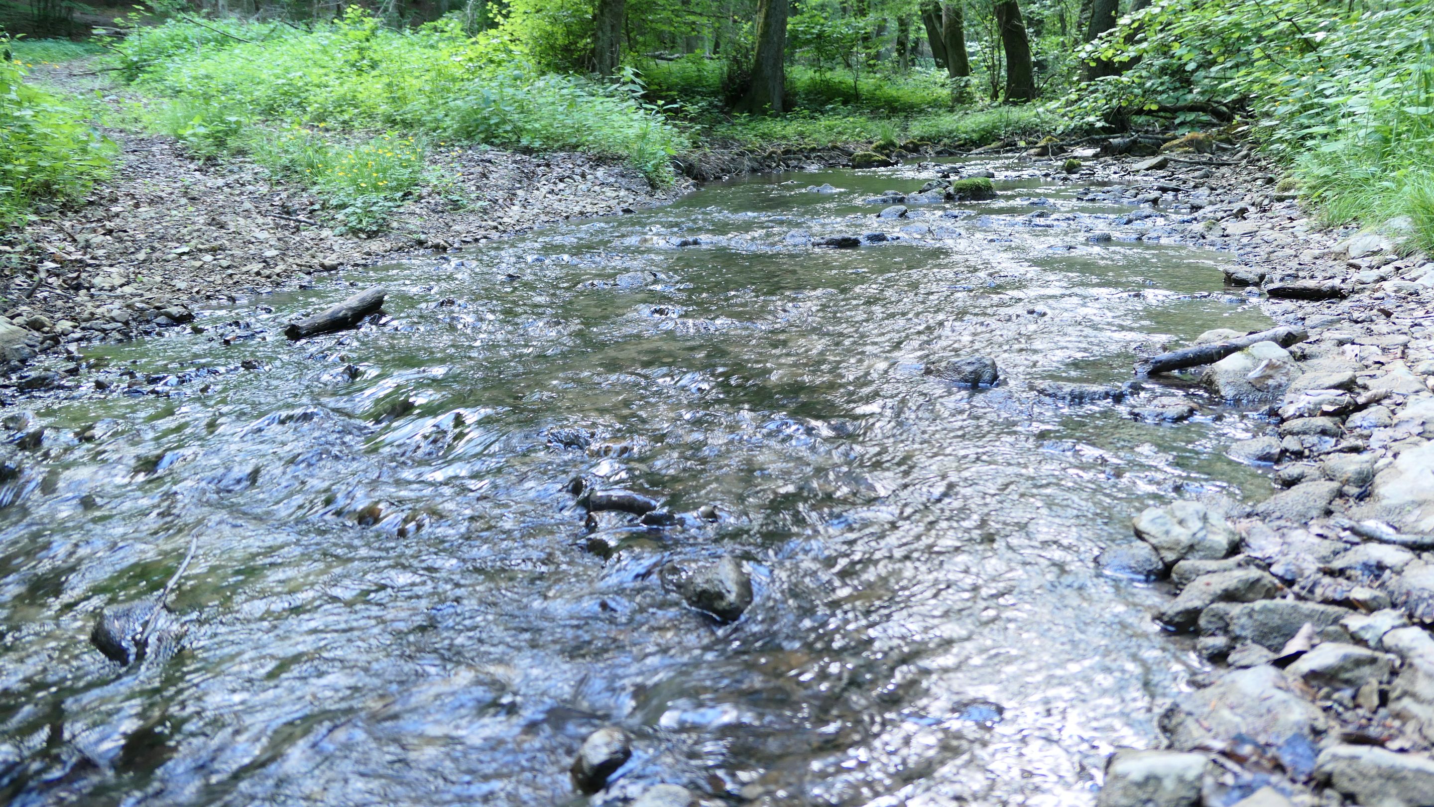
Going down was much easier, but unfortunately I started to run out of water quickly hence the weather was warm and as my first real, long hike and such I didn't bring enough water, so I was started to look for some kind of spring through the journey downhill, but most of them was dried up or undrinkable. 😣
Sokkal könnyebb volt lefelé haladni, de sajnos gyorsan kezdtem fogyni a vízből a meleg időjárás miatt és mivel ez volt az első és igazi hosszabb túrám és így nem készültem elég vízzel. Így tehát elkezdtem források után kutatni a lefelé tartó úton, de a legtöbb ki volt száradva vagy pedig ihatatlan volt. 😣
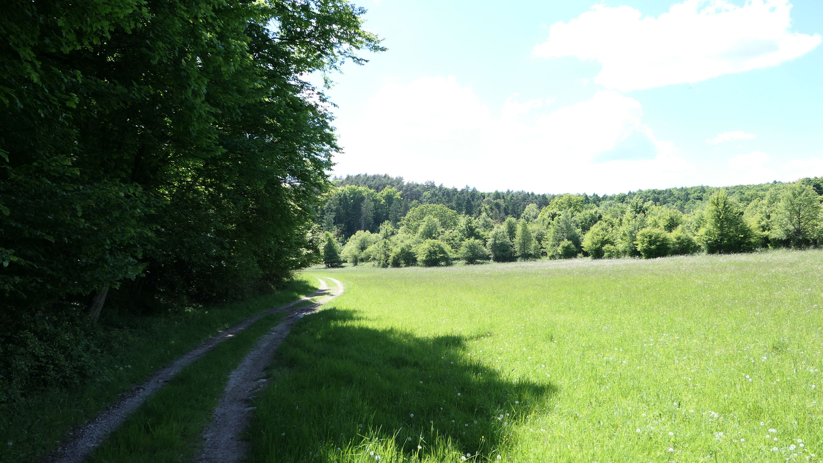
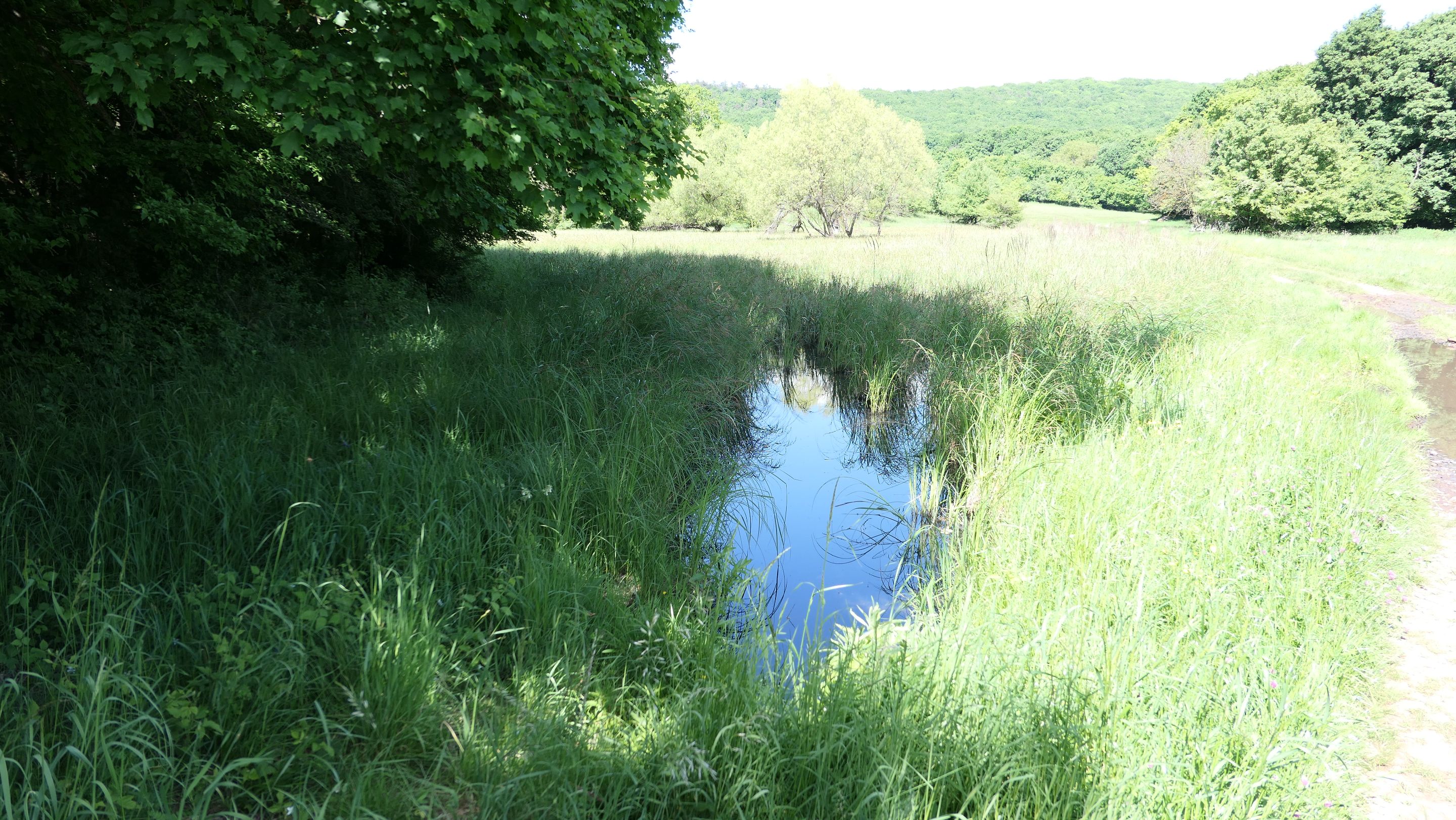

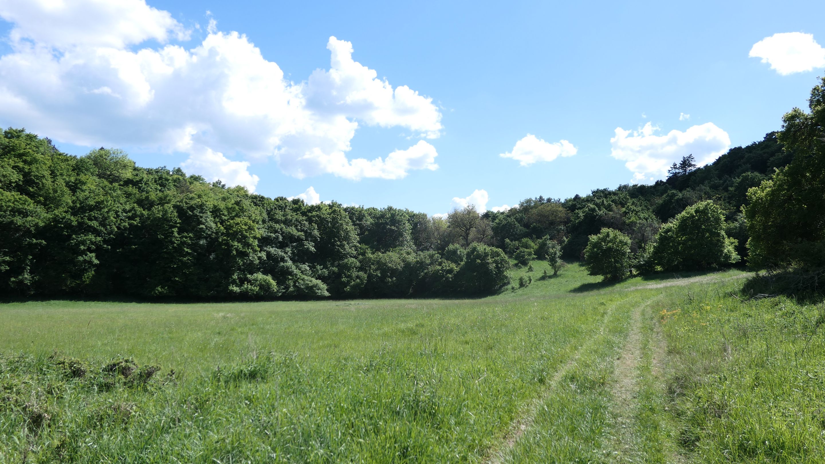
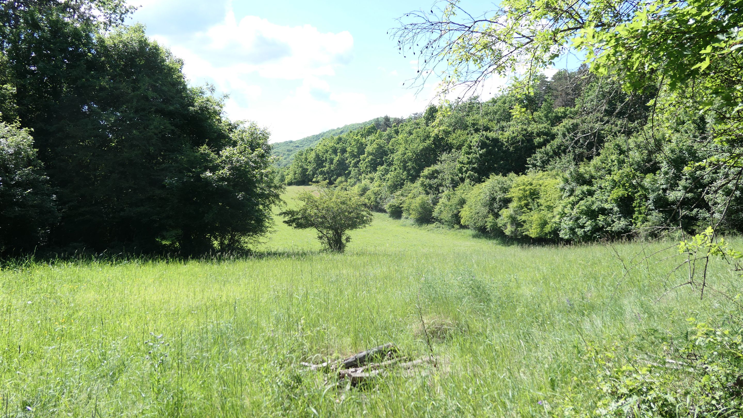
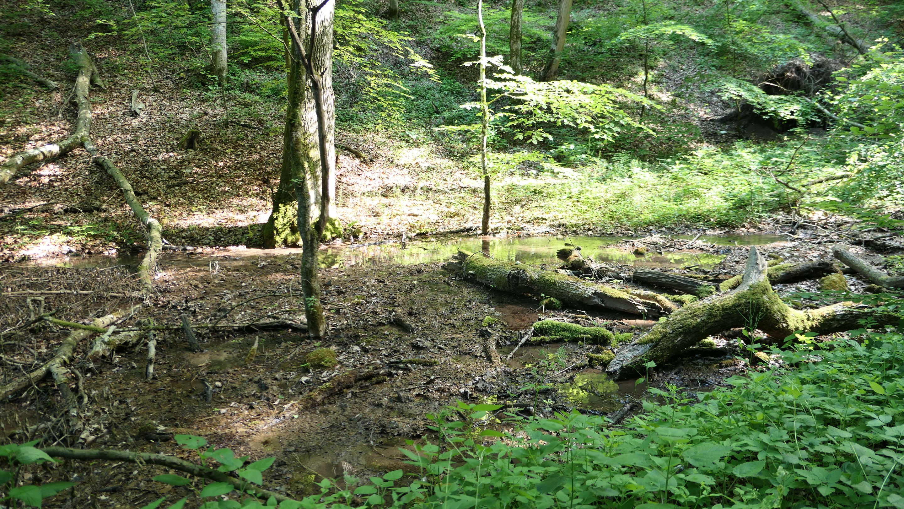
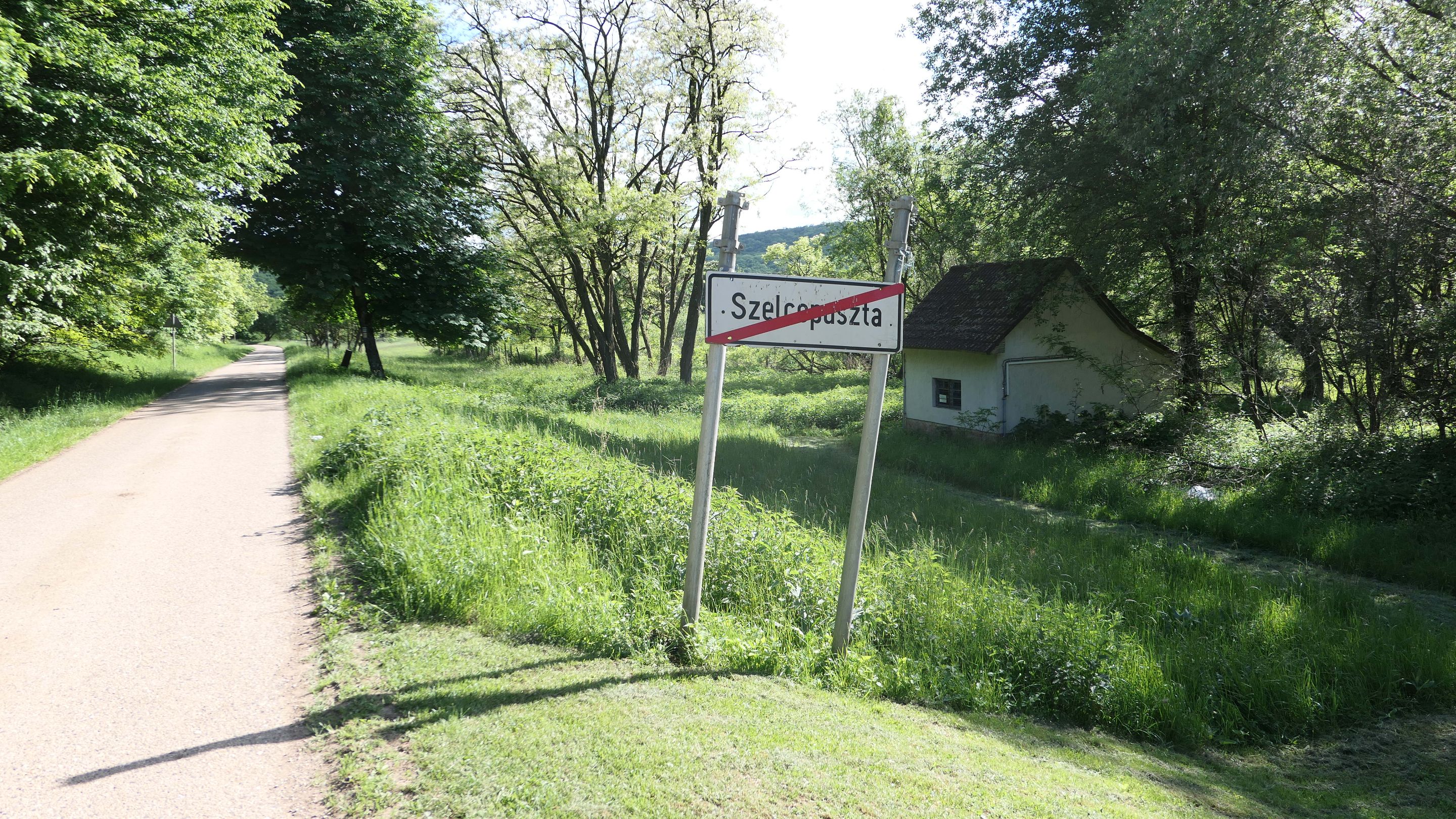
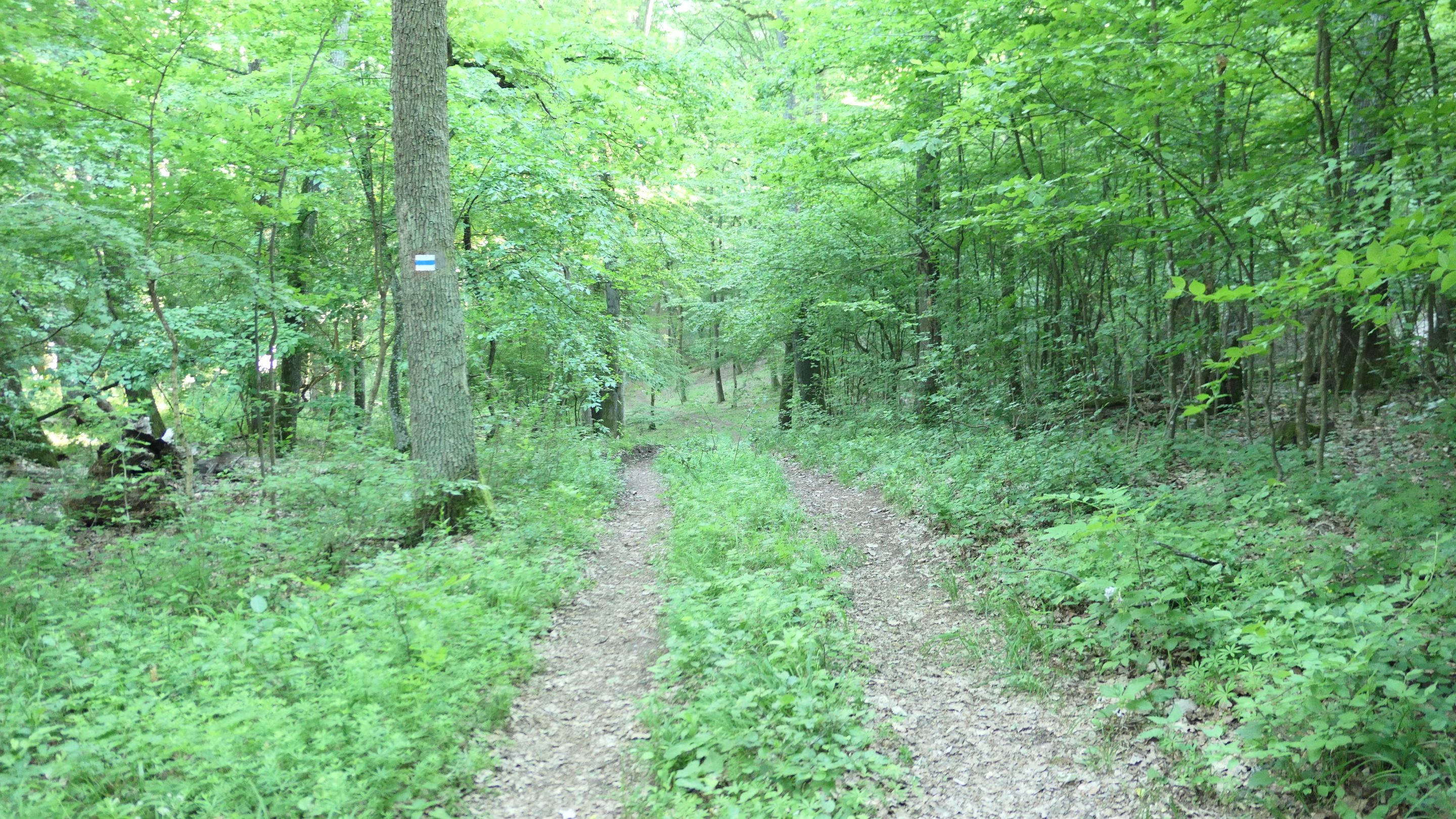
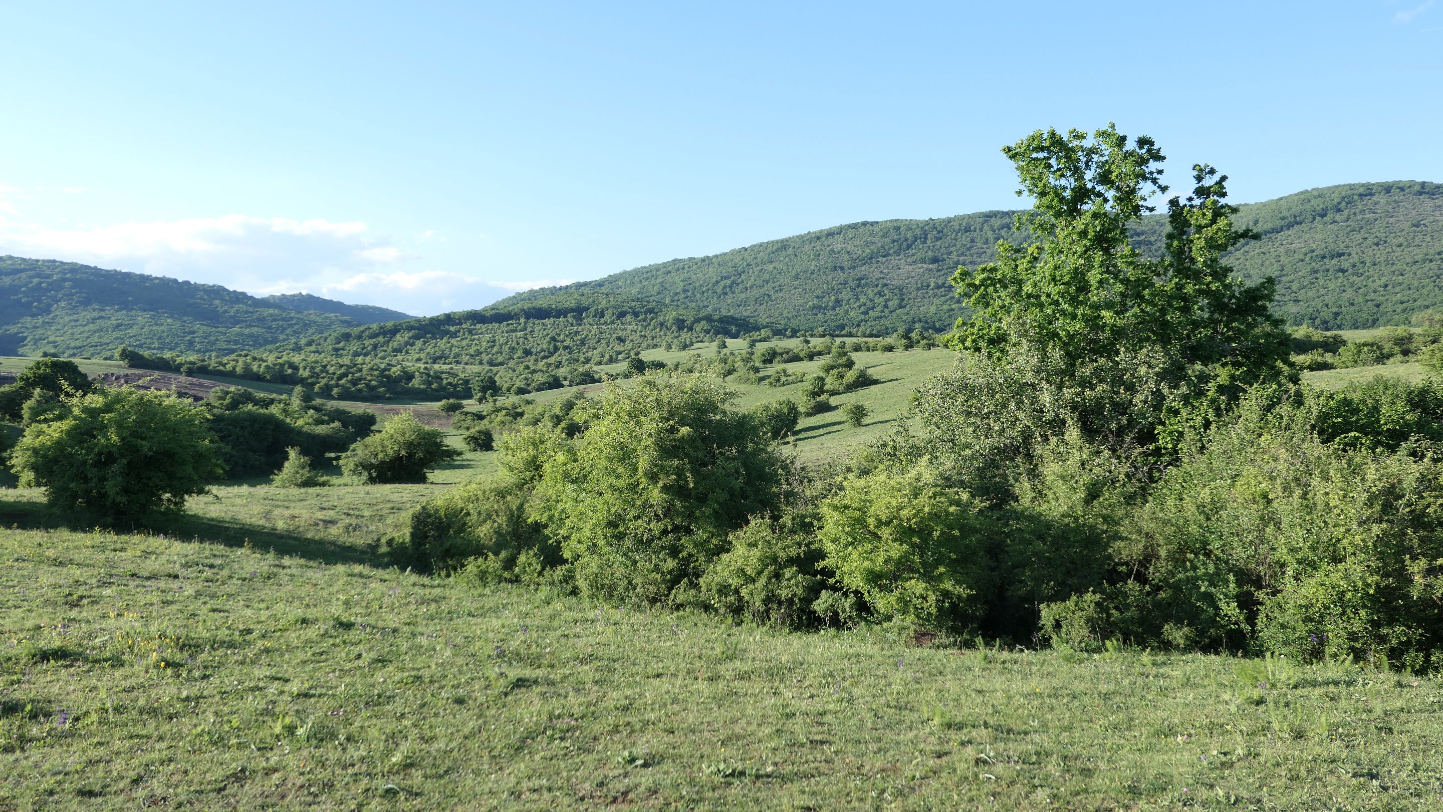
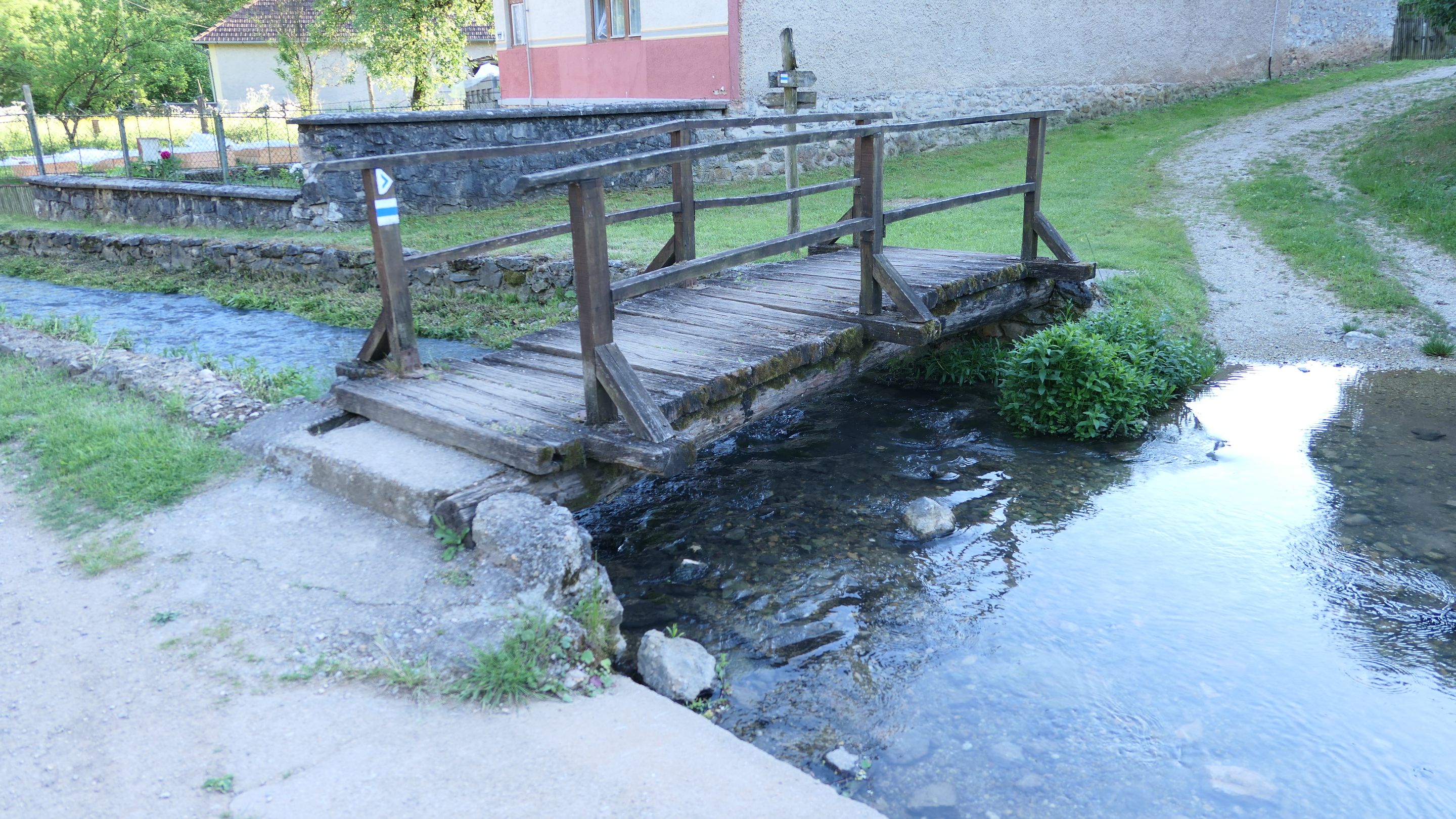
This field was used to be a swamp around 80 years ago and this is the entrance of the dead village. It was an absolutely amazing scenery in the middle of nowhere and without any sign of civilization yet. 😁
Ahogy közeledek a halott falu felé egy gyönyörű mezőn haladtam keresztül ahol 80 évvel ezelőtt még mocsaras terület volt és ráadásul sehol nem volt semmi nyoma a civilizációnak. 😁
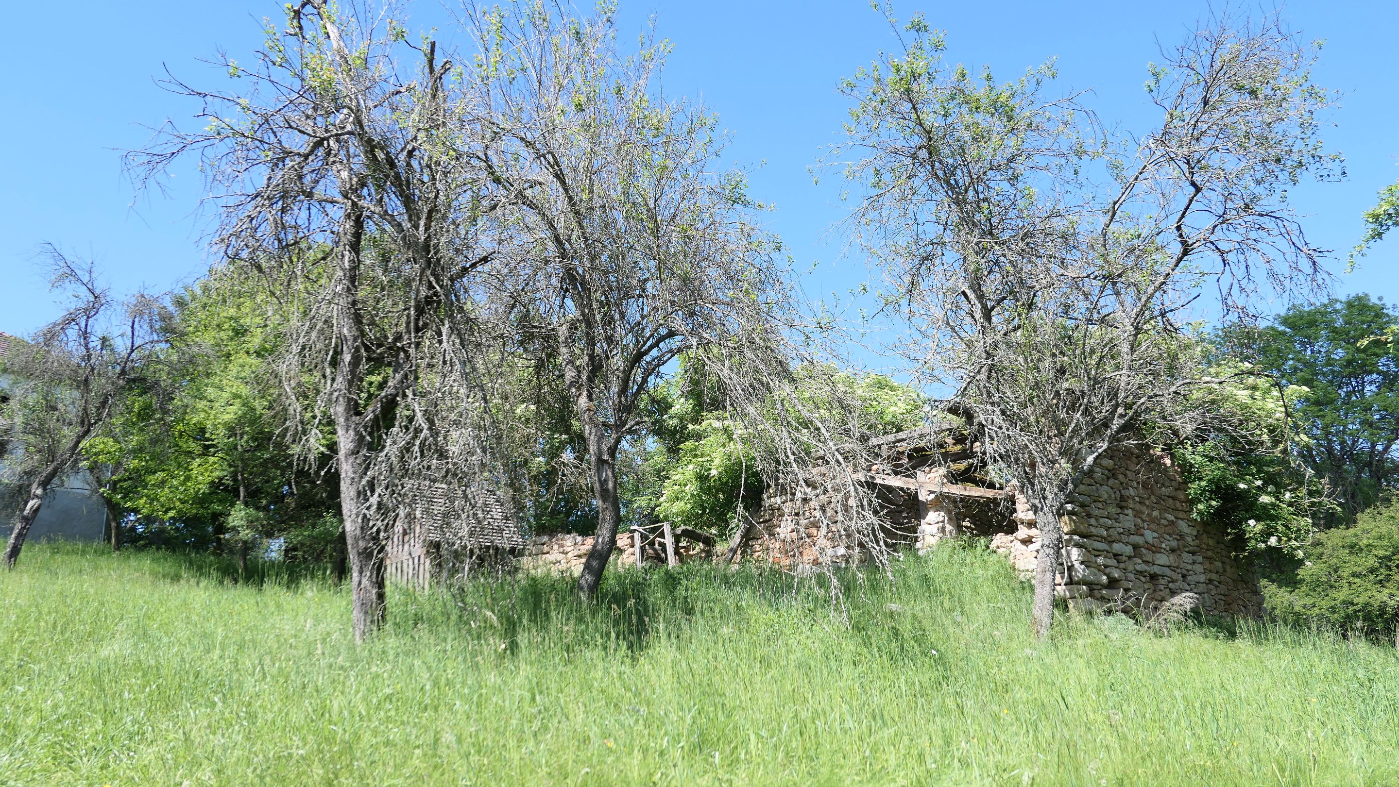
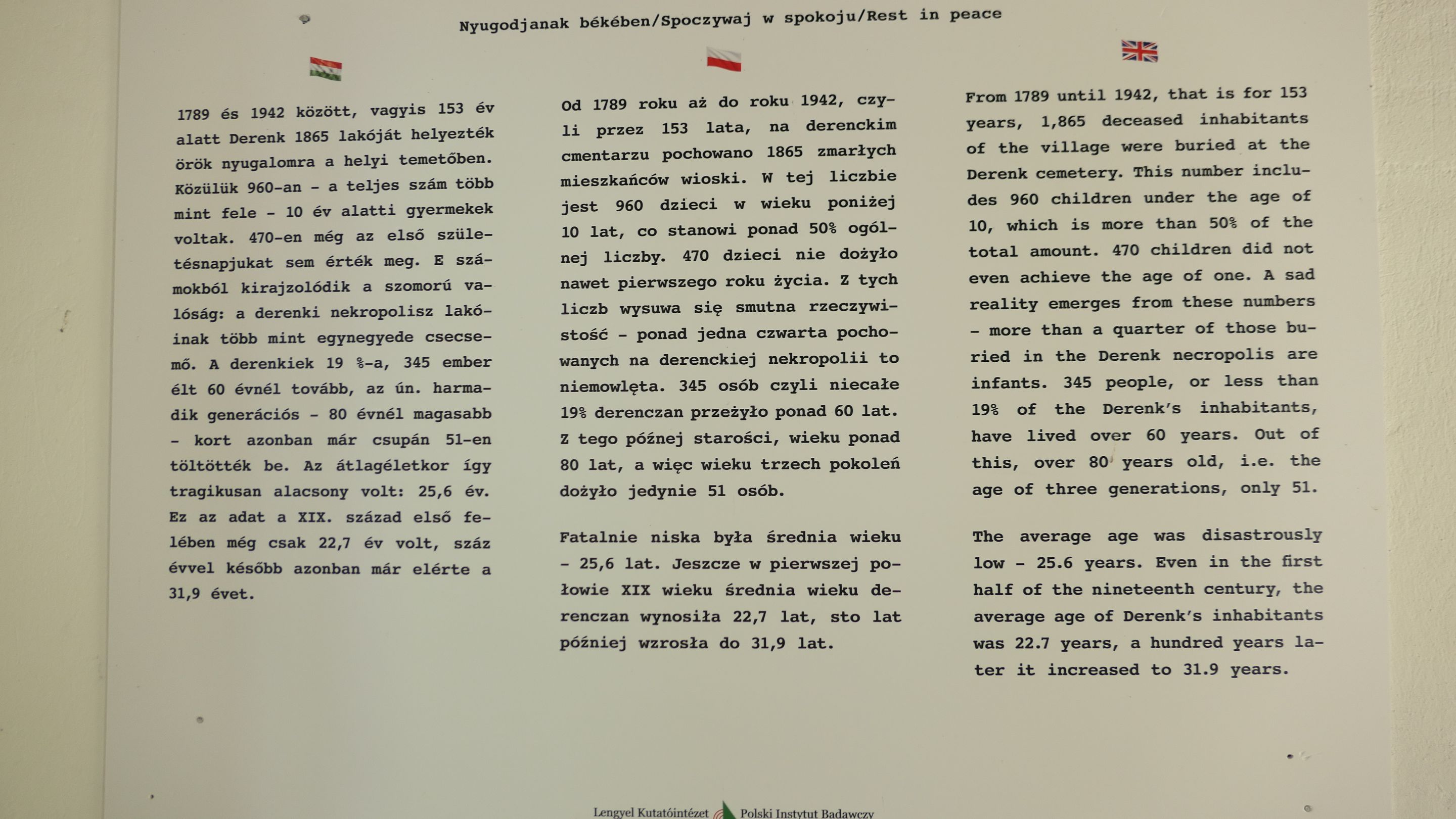
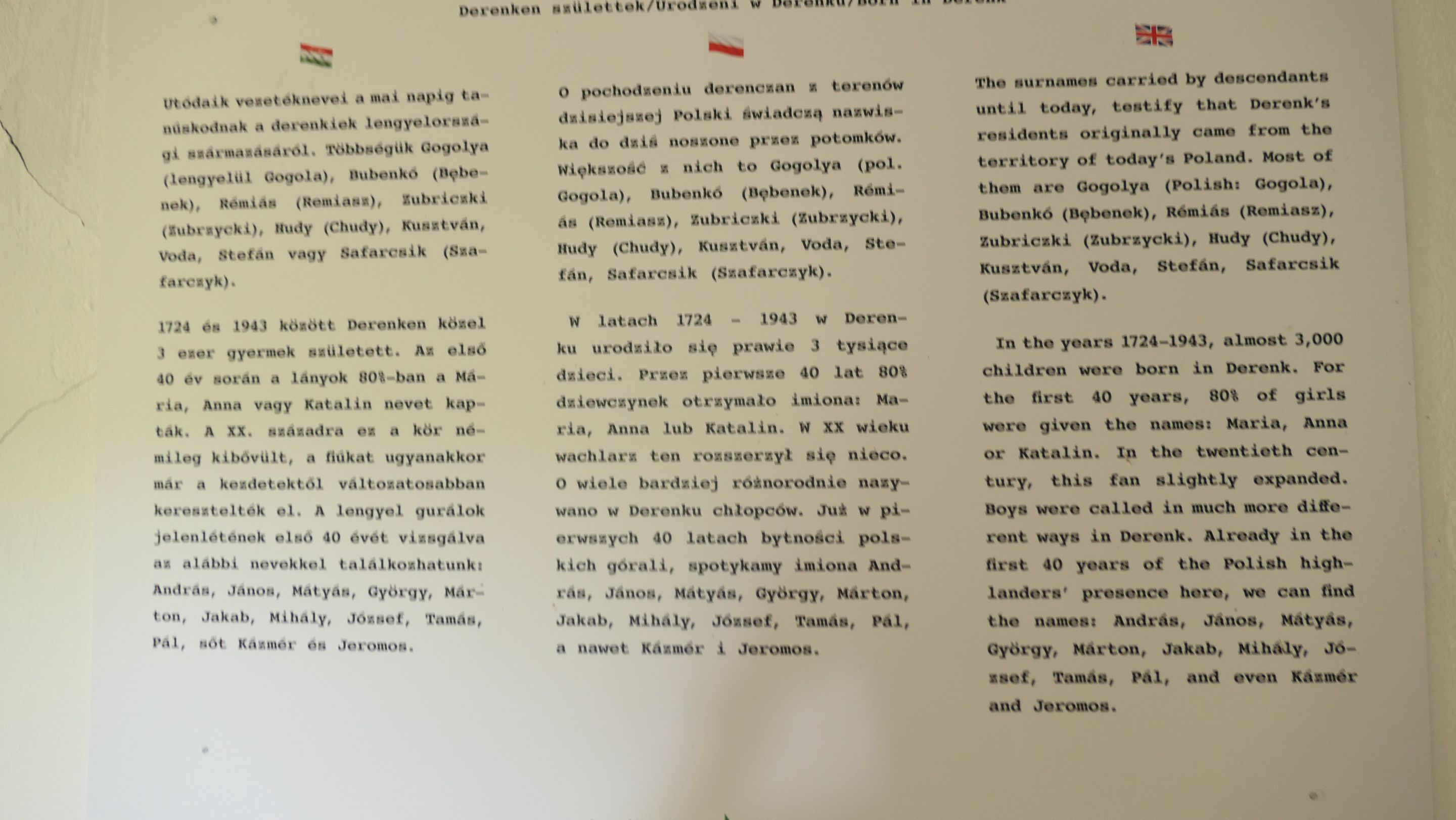
Finally I have reached to the third stamping location and I collected my third stamp into my booklet. It was time to look around this dead village, which name was Derenk until 1943, although didn't left much from it apart from the center of the village apart from one or two buildings.
Végre elértem a harmadik bélyegző helyhez és bele is pecsételtem a kis könyvembe. Ideje volt körbe nézni a halott faluban, aminek a neve Derenk volt 1943-ig habár sok minden nem maradt belőle leszámítva a falu közepén elhelyezkedő pár épületet.
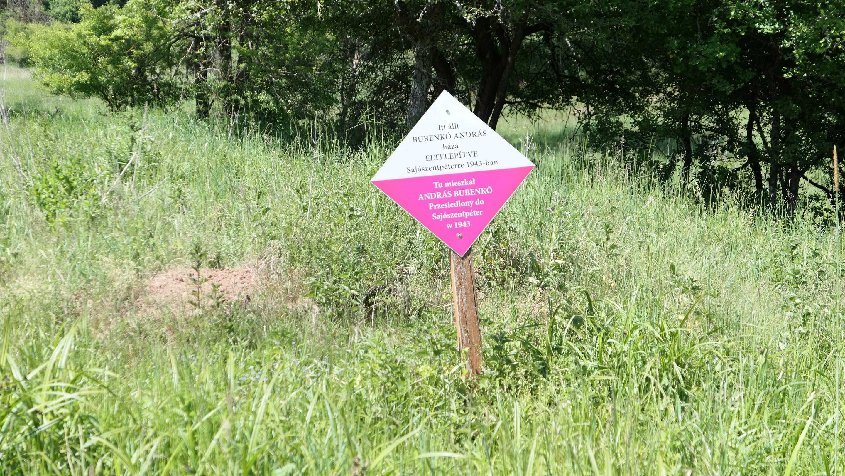
There was a lot of sign like this next to the road and they marked that it was a house here before and who is that belonged to and where they have been transported, but these days the nature took everything back.
Sok hasonló tábla volt kirakva ahol egykor házak álltak, ki lakott ott és hova lettek kitelepítve, de napjainkra már a természet visszahódította mindet.
 |  |  |
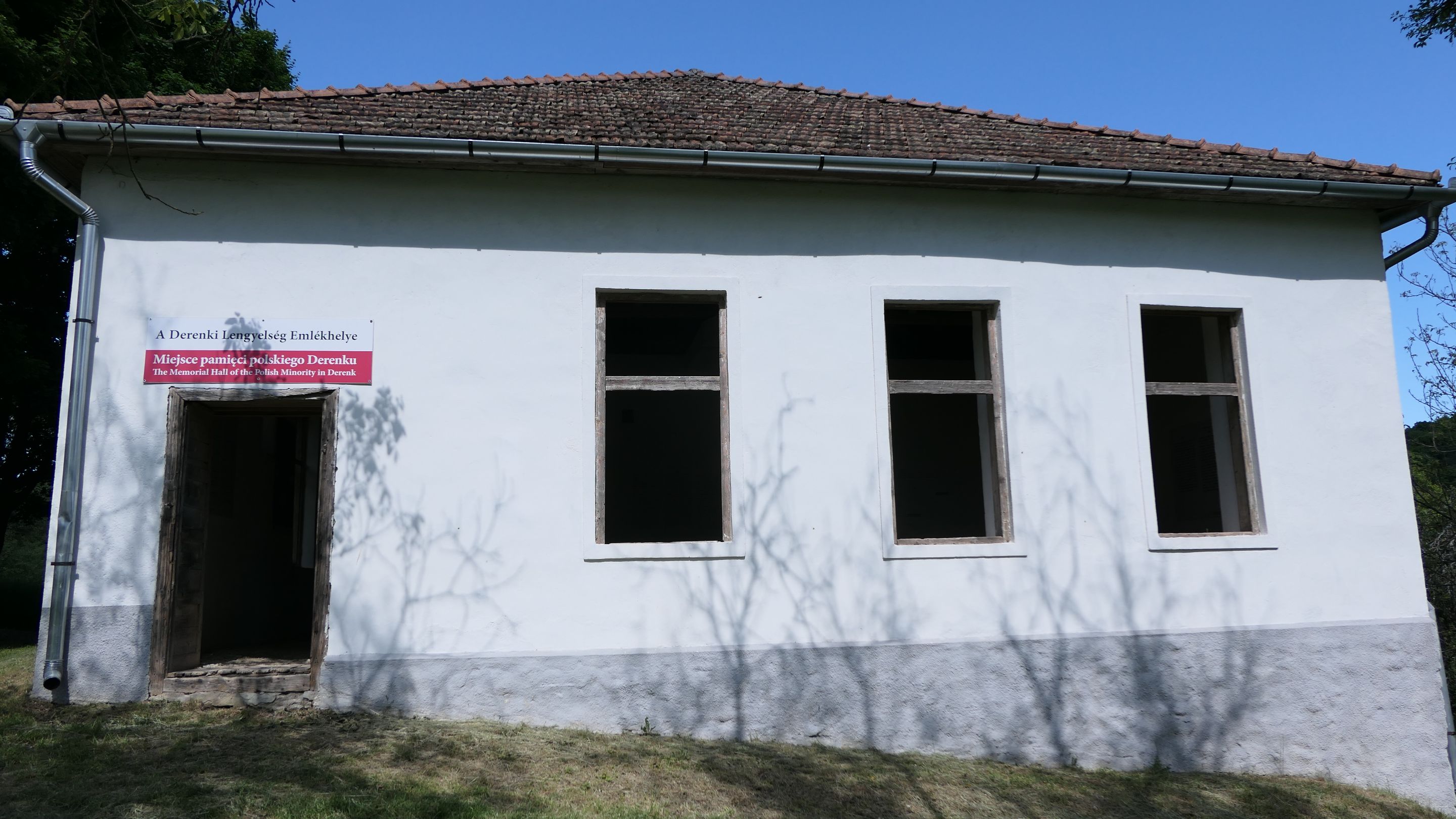
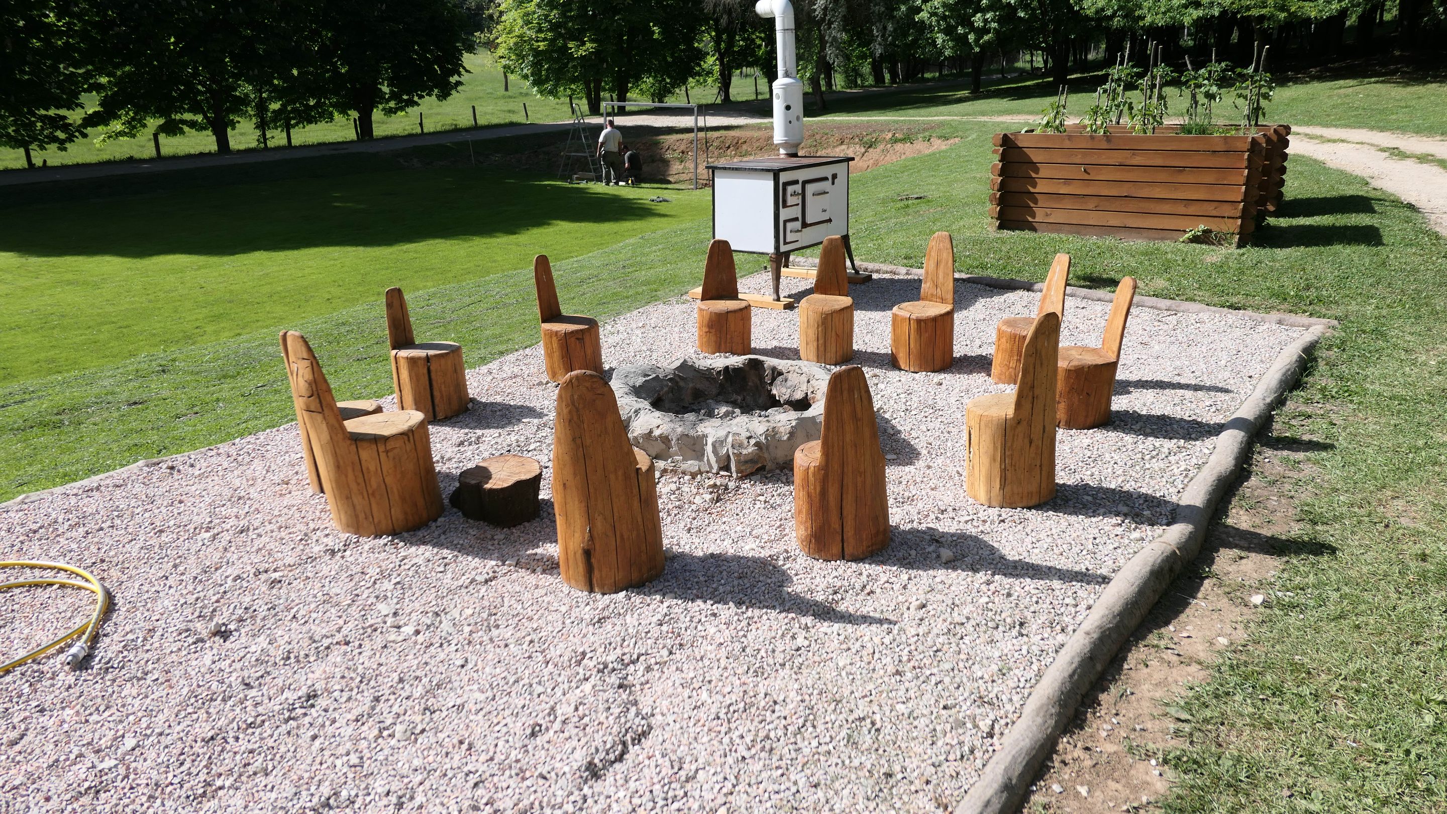
At the center of the "village" on a small hill there is a resting and memory shelter where you can find out more about the life of the village and take a big breath on your journey! 😉
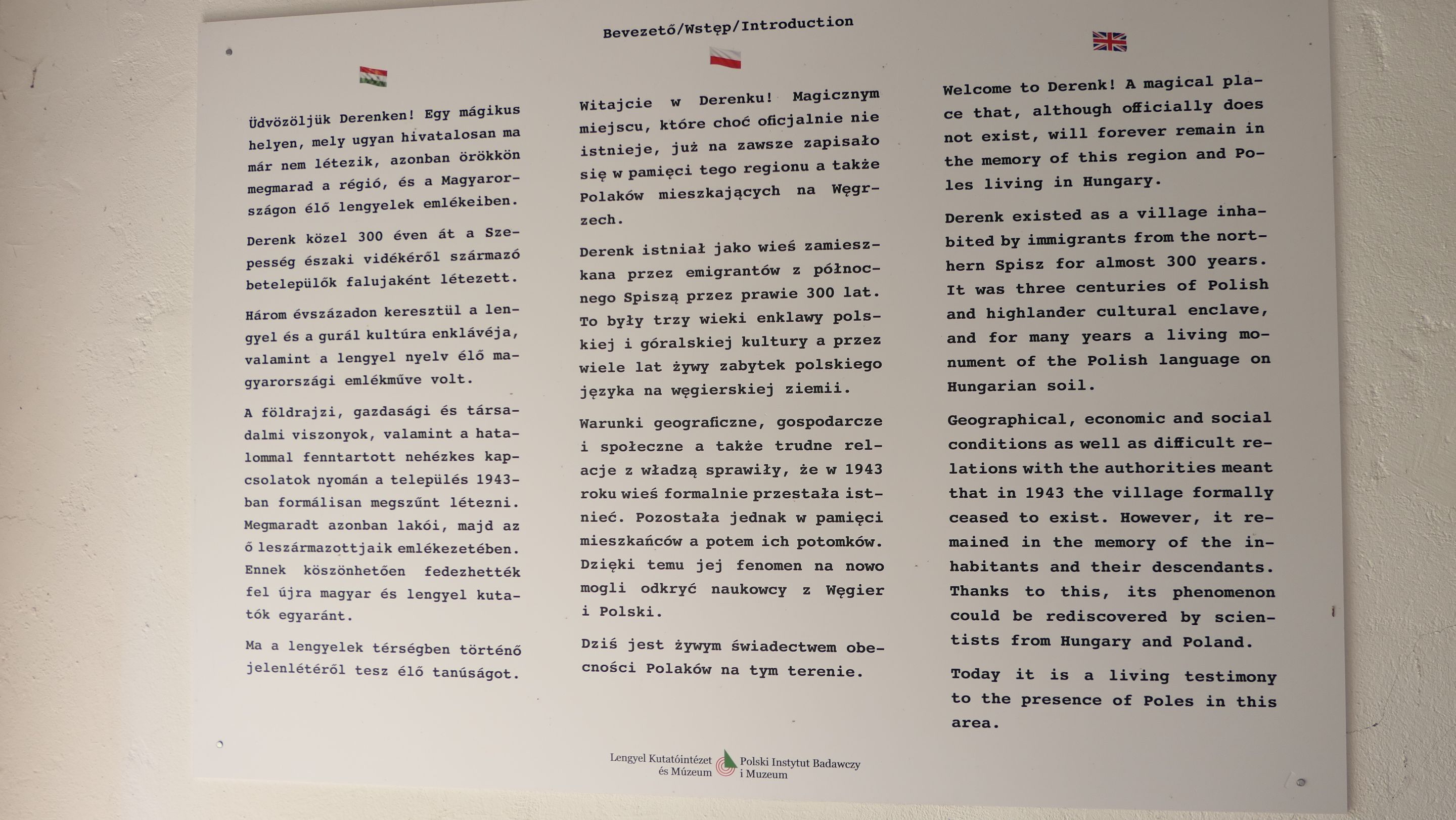
There were pictures from the life of this village and few piece of information what is happened with them during the second World War! 😞
A falu közepén egy kis dombon egy emlékhely található egy menedékben ahol többet meg lehet tudni az itt élők életéről és lehet egy kicsit pihenni is! 😉

Fotókat lehet bent találni némi információval, hogy mi is történt a faluban a második Világháború folyamán és előtte! 😞
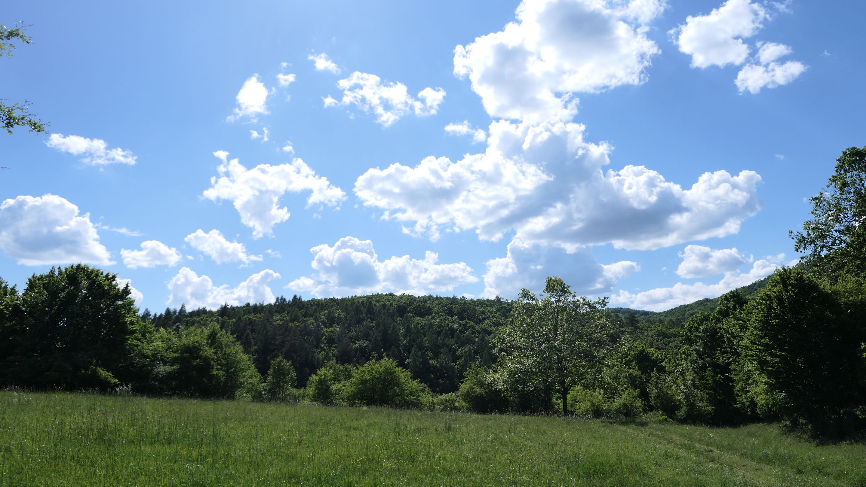
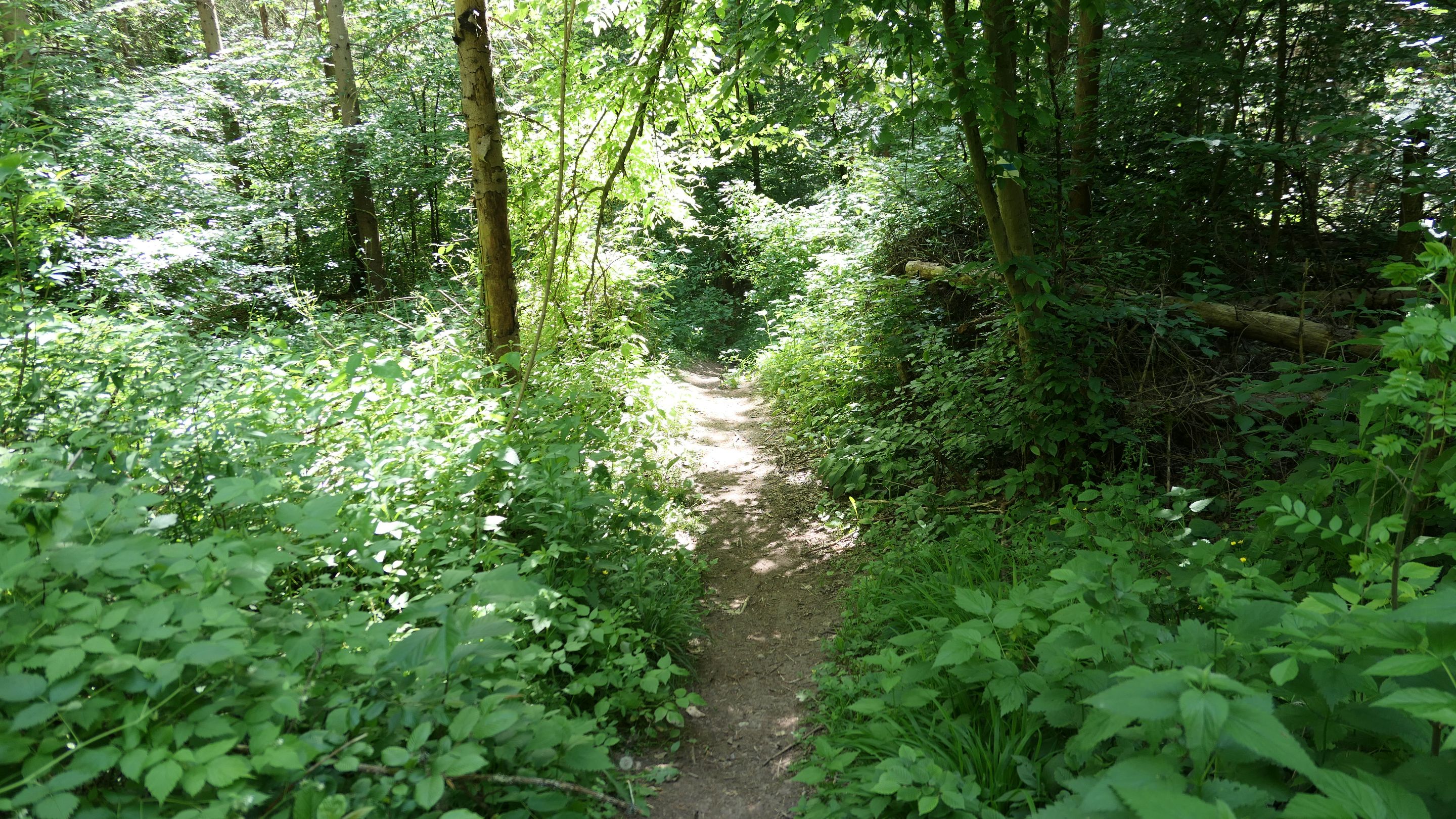
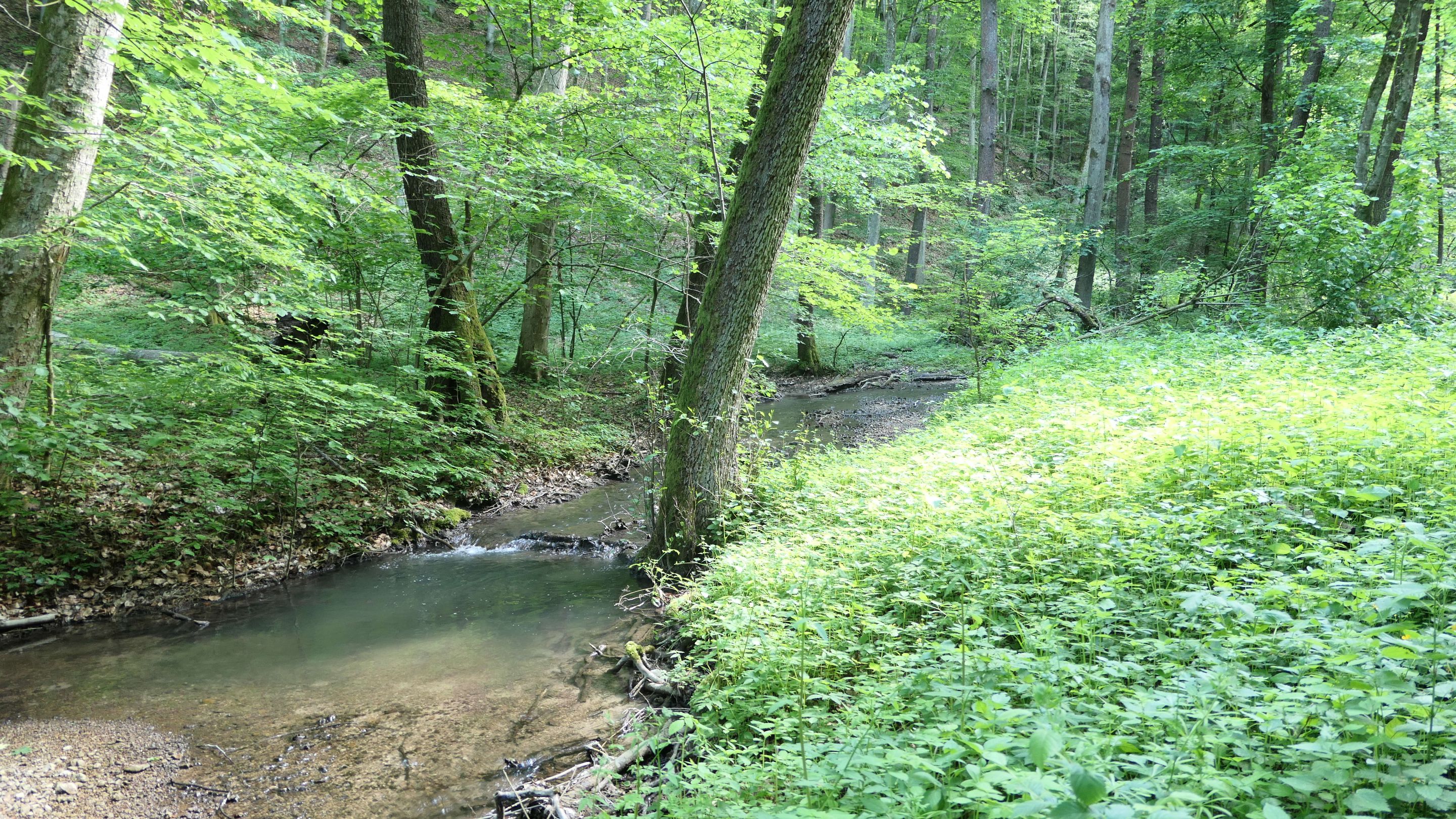
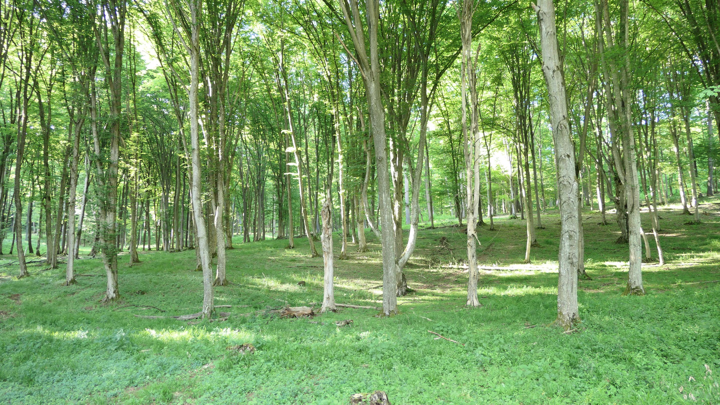
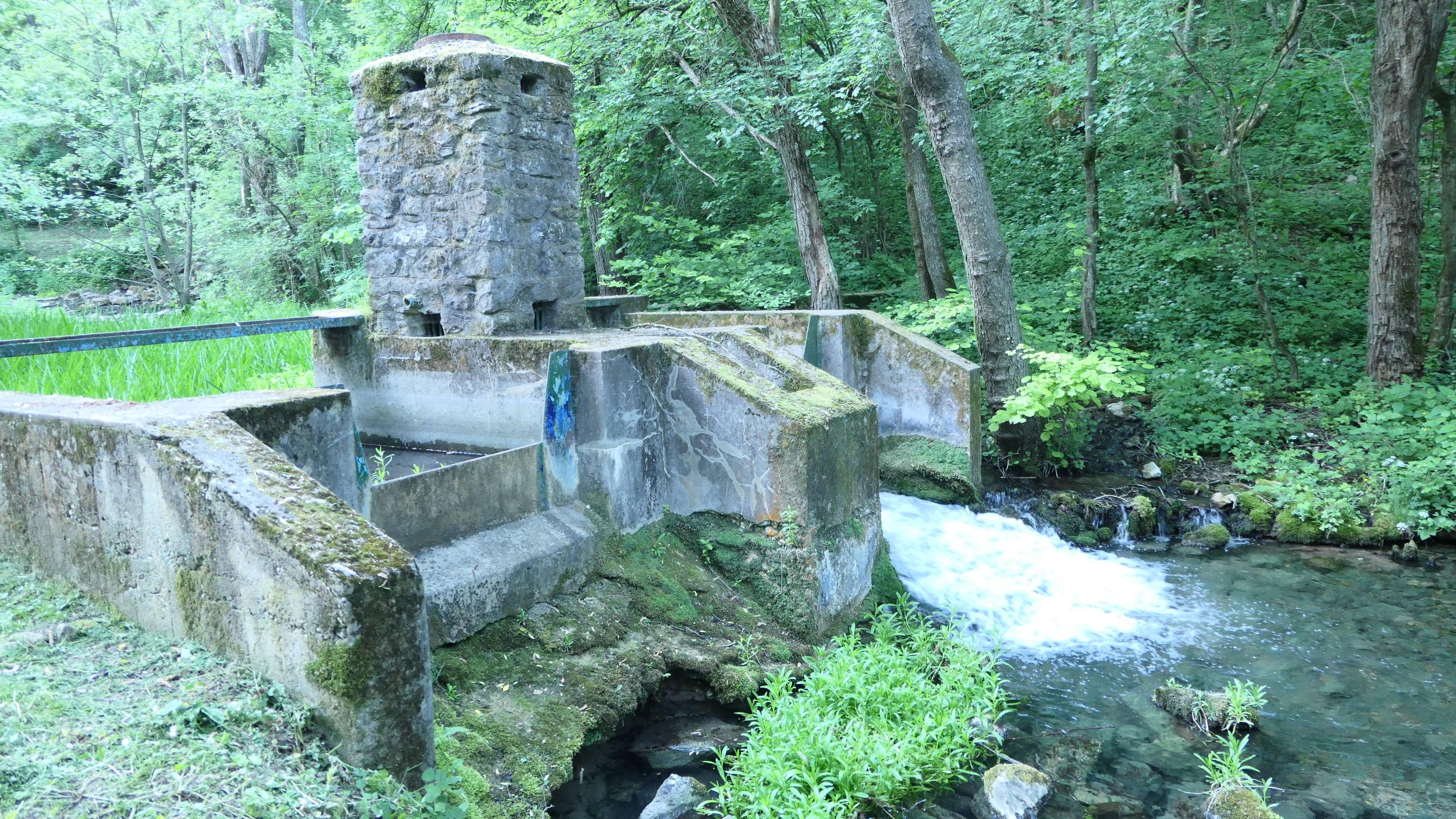
After a half an hour break it was about time to leave the village and suddenly I found myself in the forest again where the weather was much better and cooler than on the open field. I was still looking for some source of water and found few, but they were not safe to drink so I moved on. 😅
Fél óra pihenés után ideje volt továbbindulni és elhagyni a falut. Hirtelen újra erdőben találtam magam ahol az idő is sokkal jobb volt és hűvösebb mint a nyílt mezőn. Még mindig kerestem valami iható vizet, de semmit olyat nem találtam egyenlőre. 😅
 |  |
I have started climbing up to the top of a hill again, which was a bit exhausting especially without much water, but luckily on the top of the hill I found a hunting lodge and apartment with a nice resting place, where I could refill my flasks and was able to continue my journey with refreshed strength! 😊
This will be the last session of my journey for today, which will be an 3,5 hours hike ahead, so I better prepare myself for the road, because there will be no exit point if anything happens. 😏
Megint egy magas dombra kaptattam fel ami egy kicsit fárasztó volt szomjasan, de szerencsére a domb tetején egy vadász ház és apartmant találtam ahol meg lehetett pihenni és végre feltudtam tölteni a kulacsaimat vízzel és tovább tudtam folytatni utamat újult erővel! 😊

Elérkeztem az utolsó részhez az utamon ami egy 3,5 órás szakasz lesz és fel kell rá készülni mivel nem lesz sehol sem letérő ha bármi is történik.
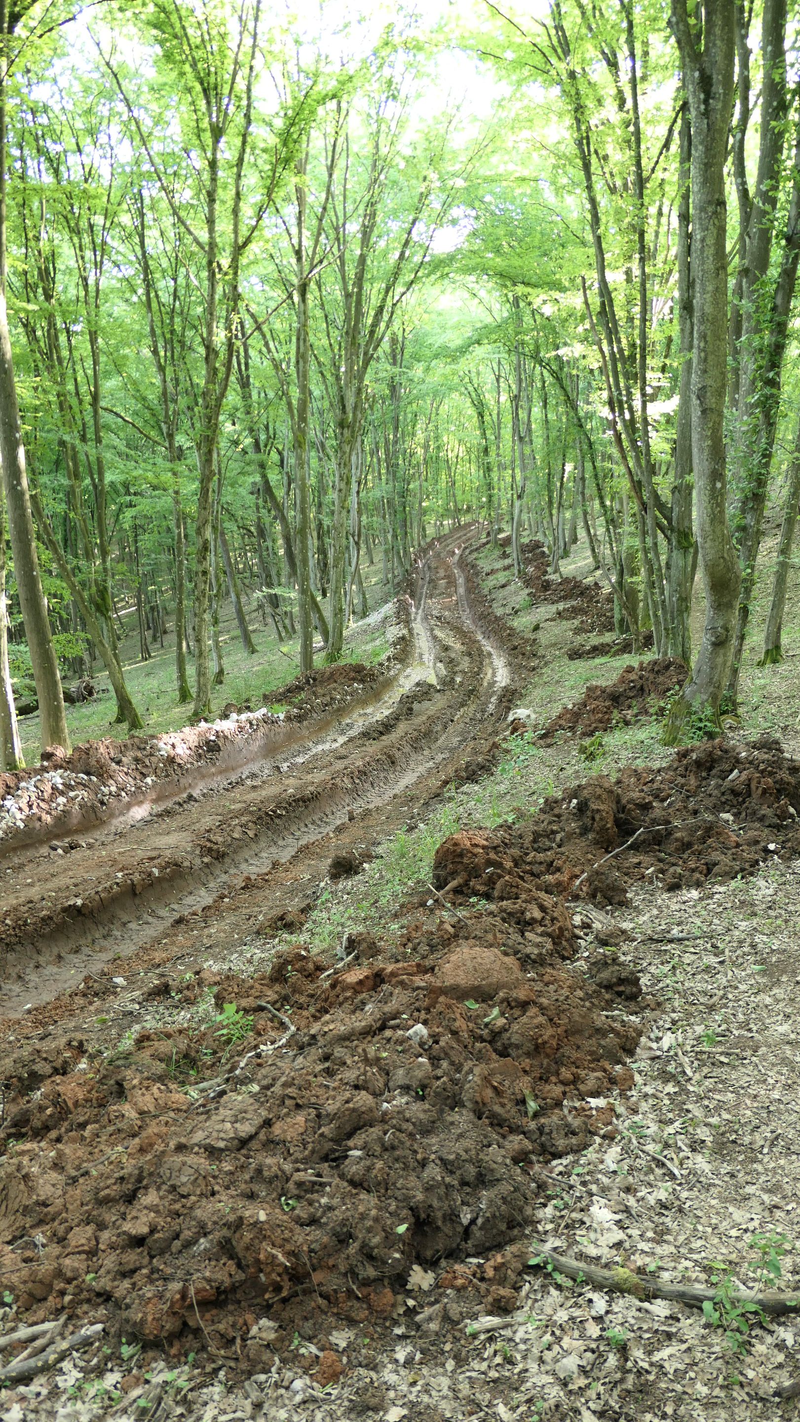 |  |
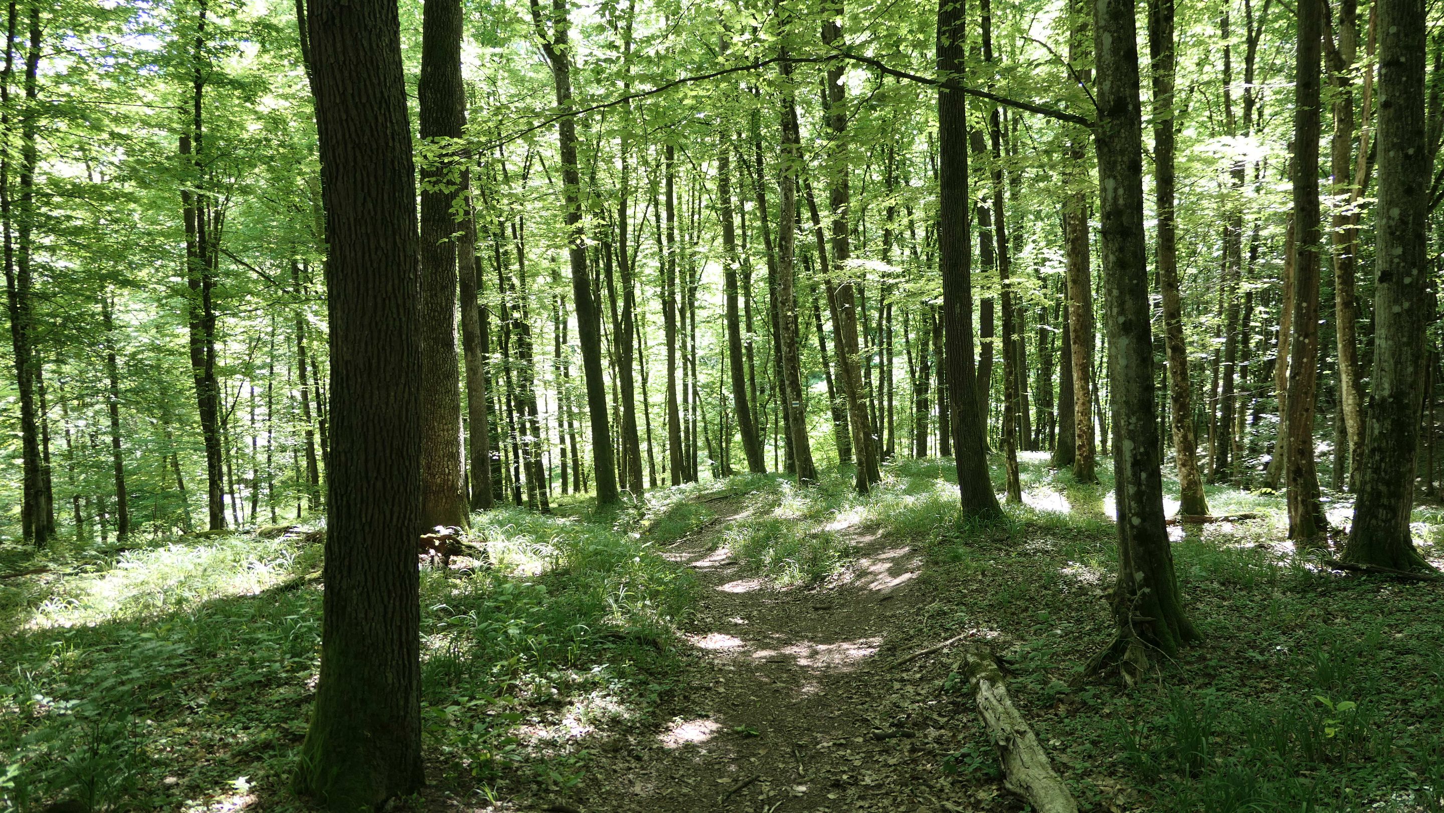
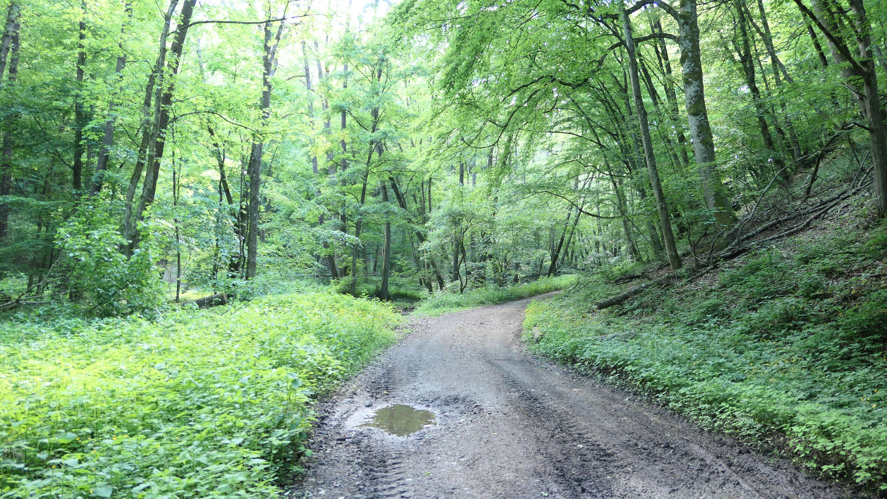
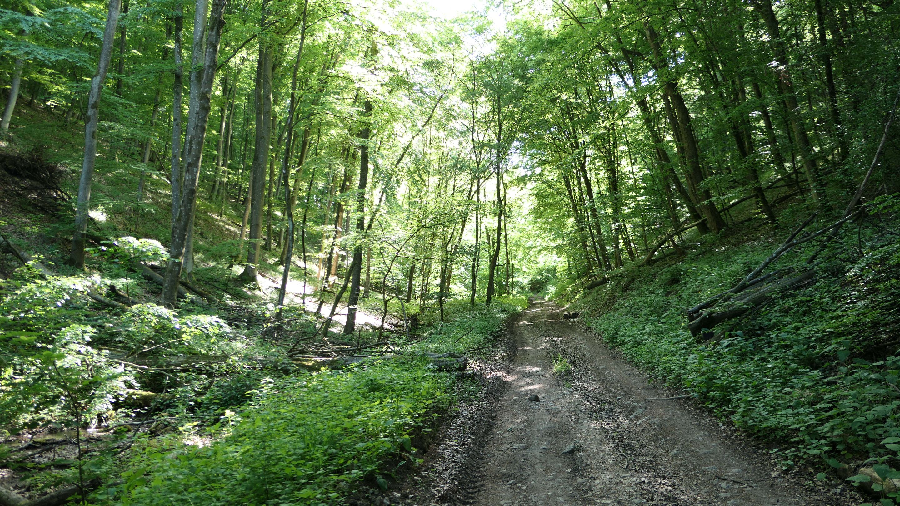
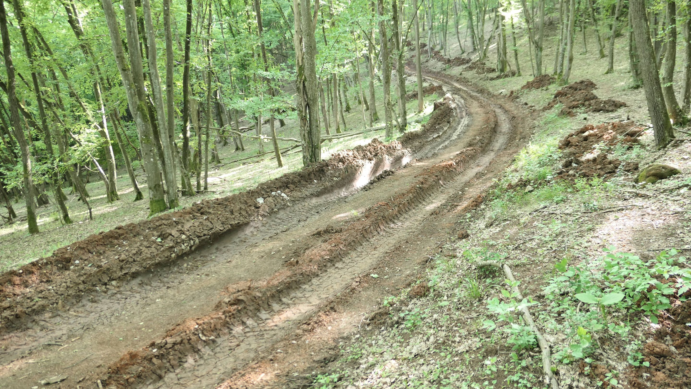
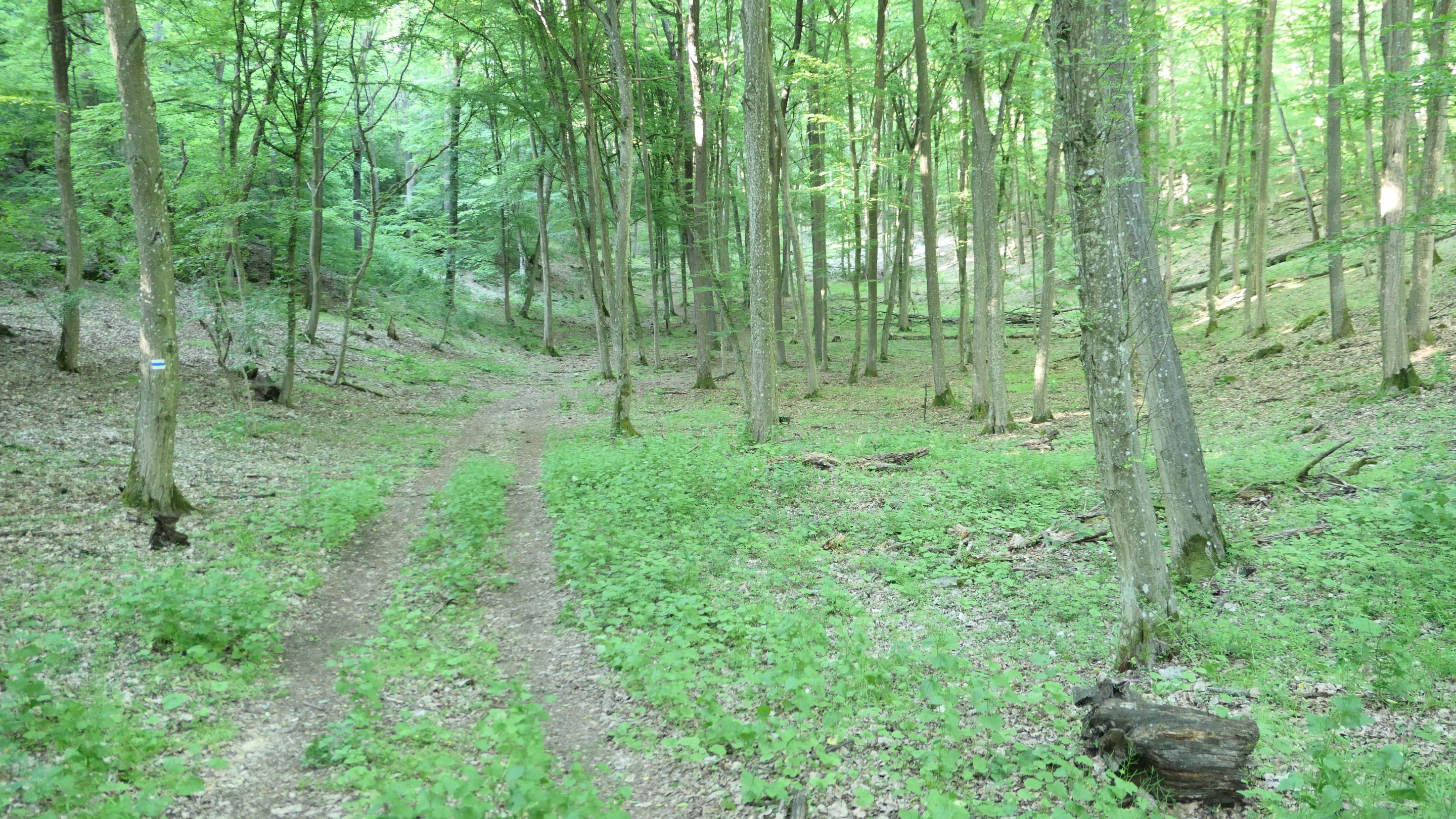
At the beginning the road was quite nice, but after a while it turned out to be horrible, because some kind of big vehicles destroyed the road completely and I had to go on the side of the road in the forest, which makes my hike more tiring unnecessary! 😨
Az út eleje nagyon szép volt, de hamar rémálommá vált, mert valami nagy gép(ek) feltúrták az egész ösvényt és az erdőben kellett folytatni az utat ami még nehezebb volt és ráadásul teljesen szükségtelen is volt! 😨
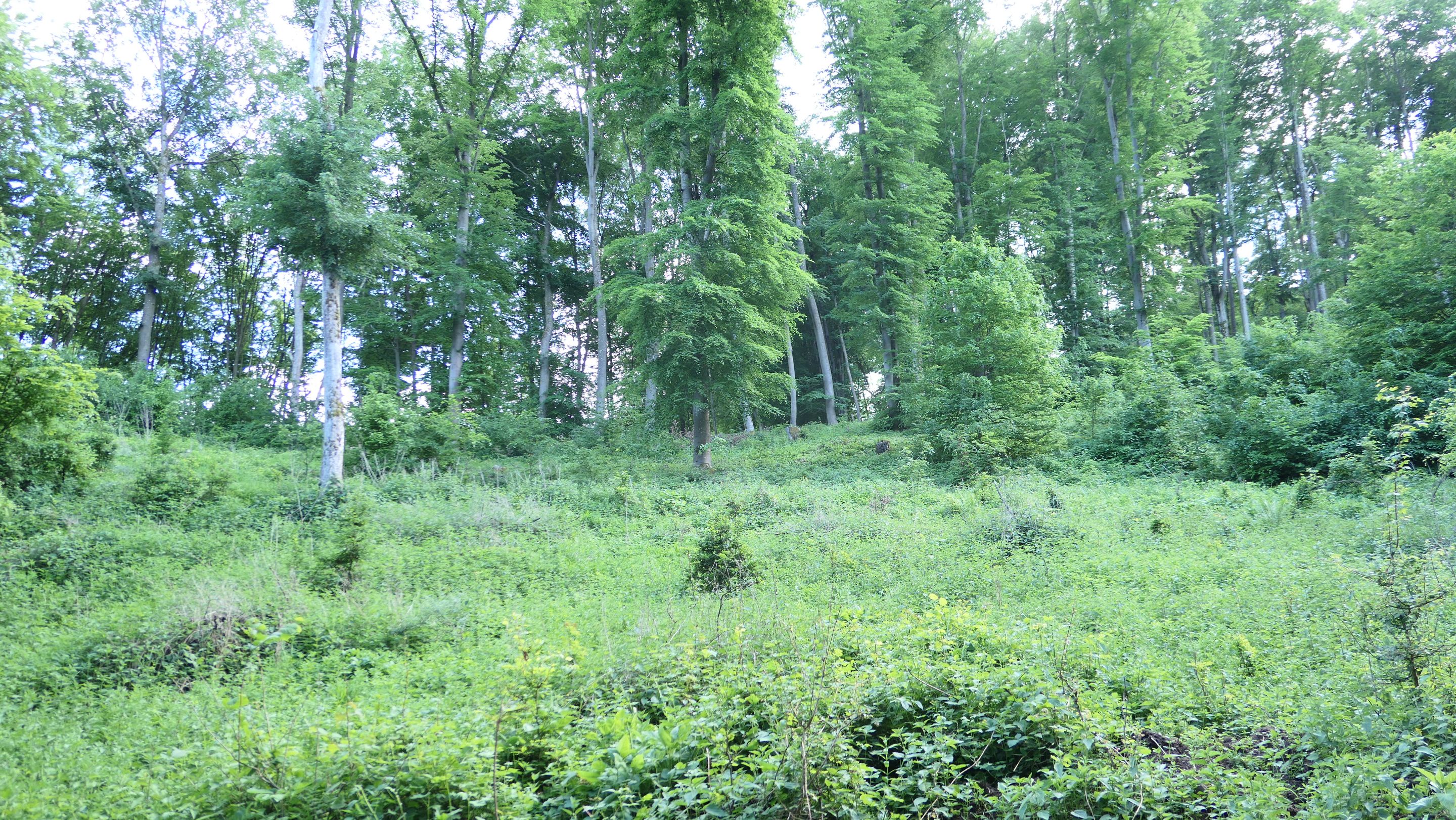
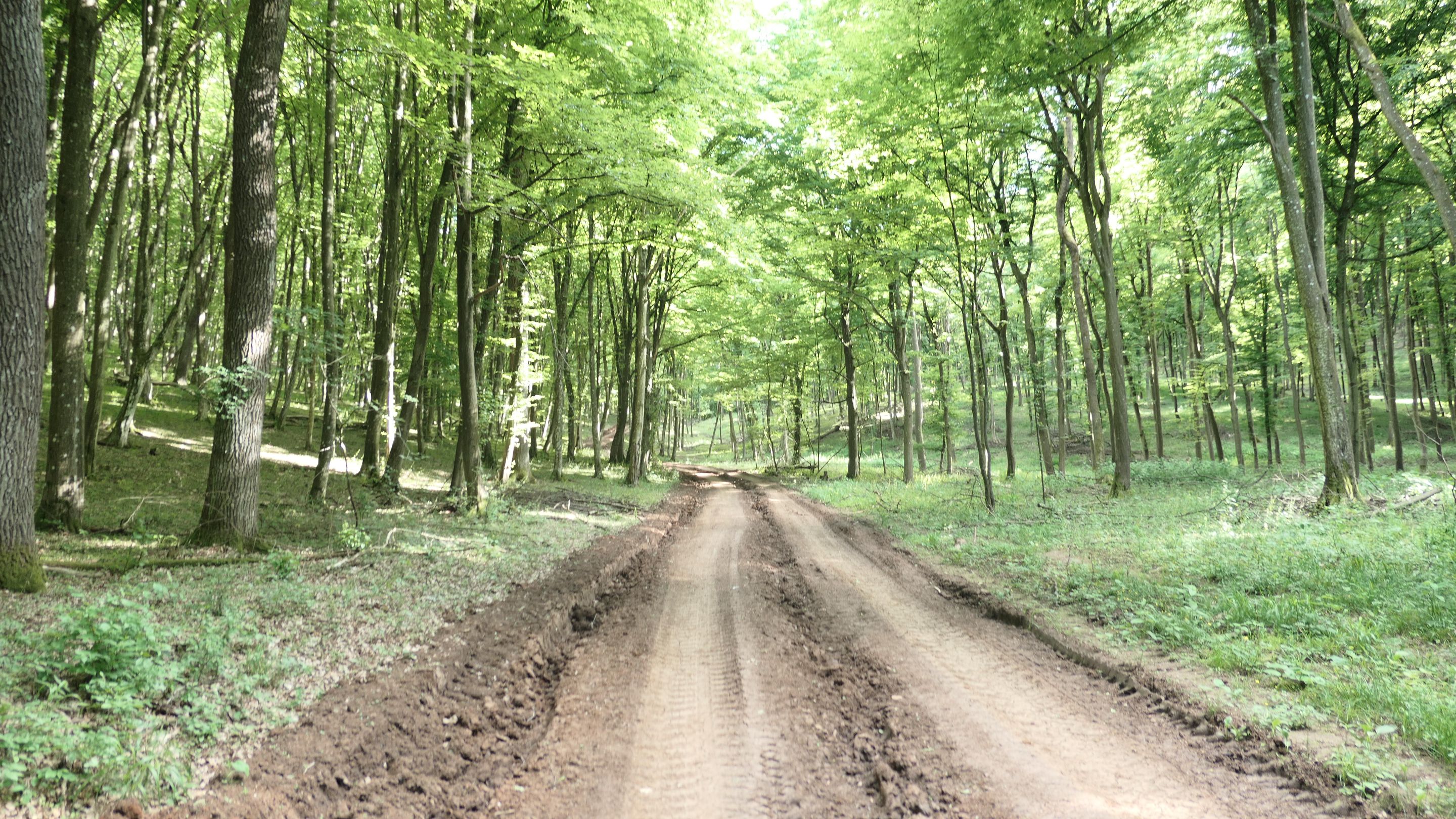
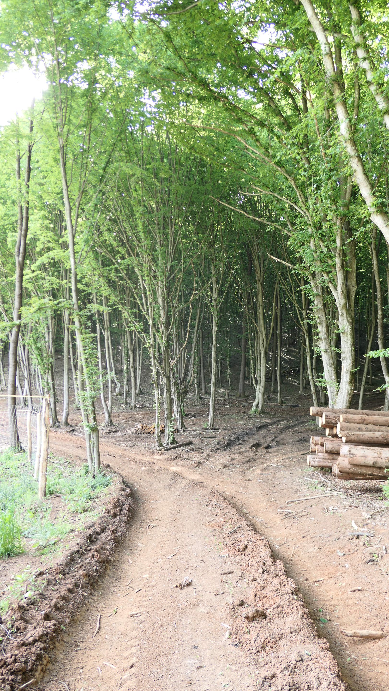
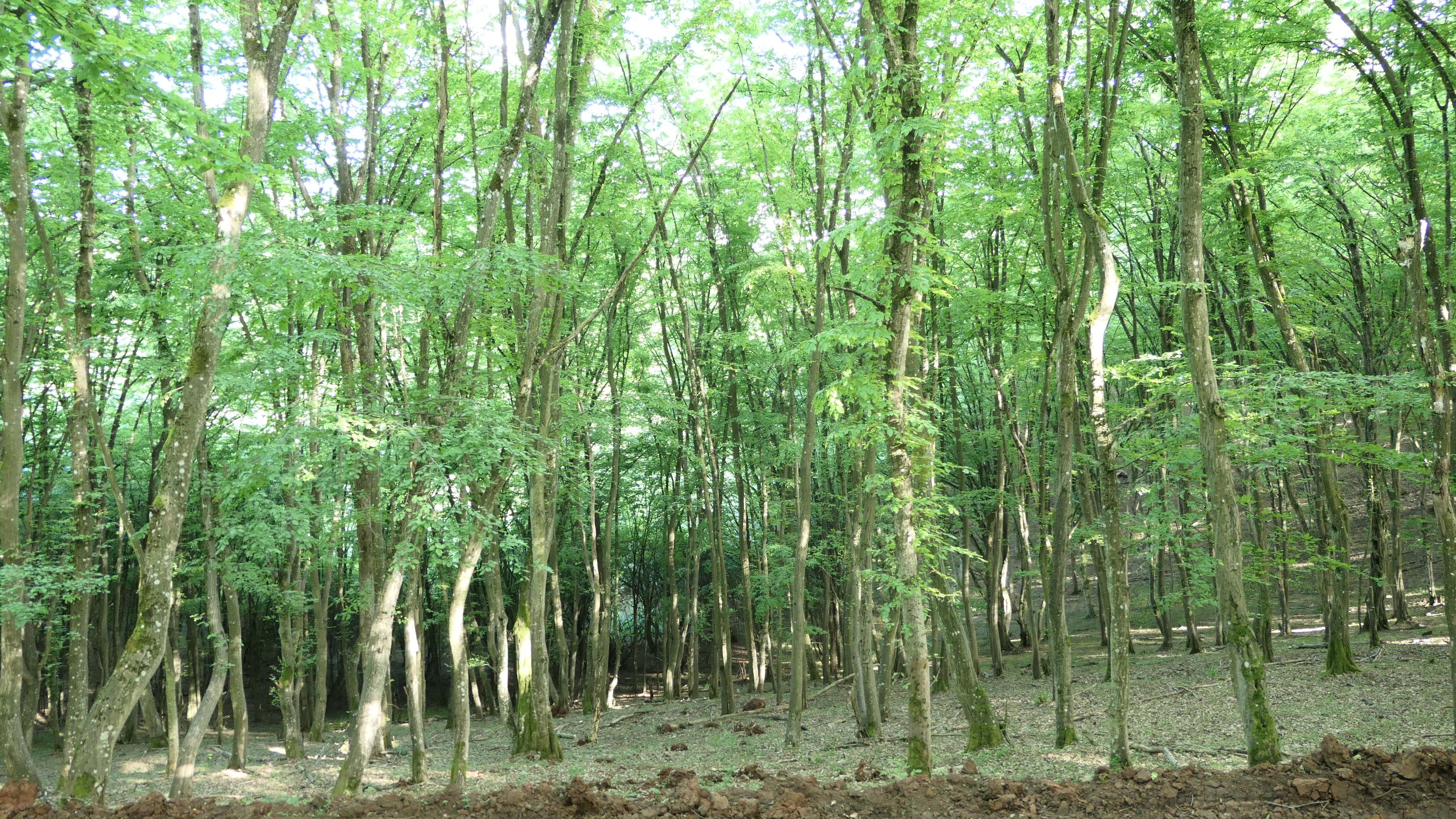
Finally I passed that dirty road and reach to nice lush green forest, which was amazing and I had time to look around and not just looking the road how to pass. 😊
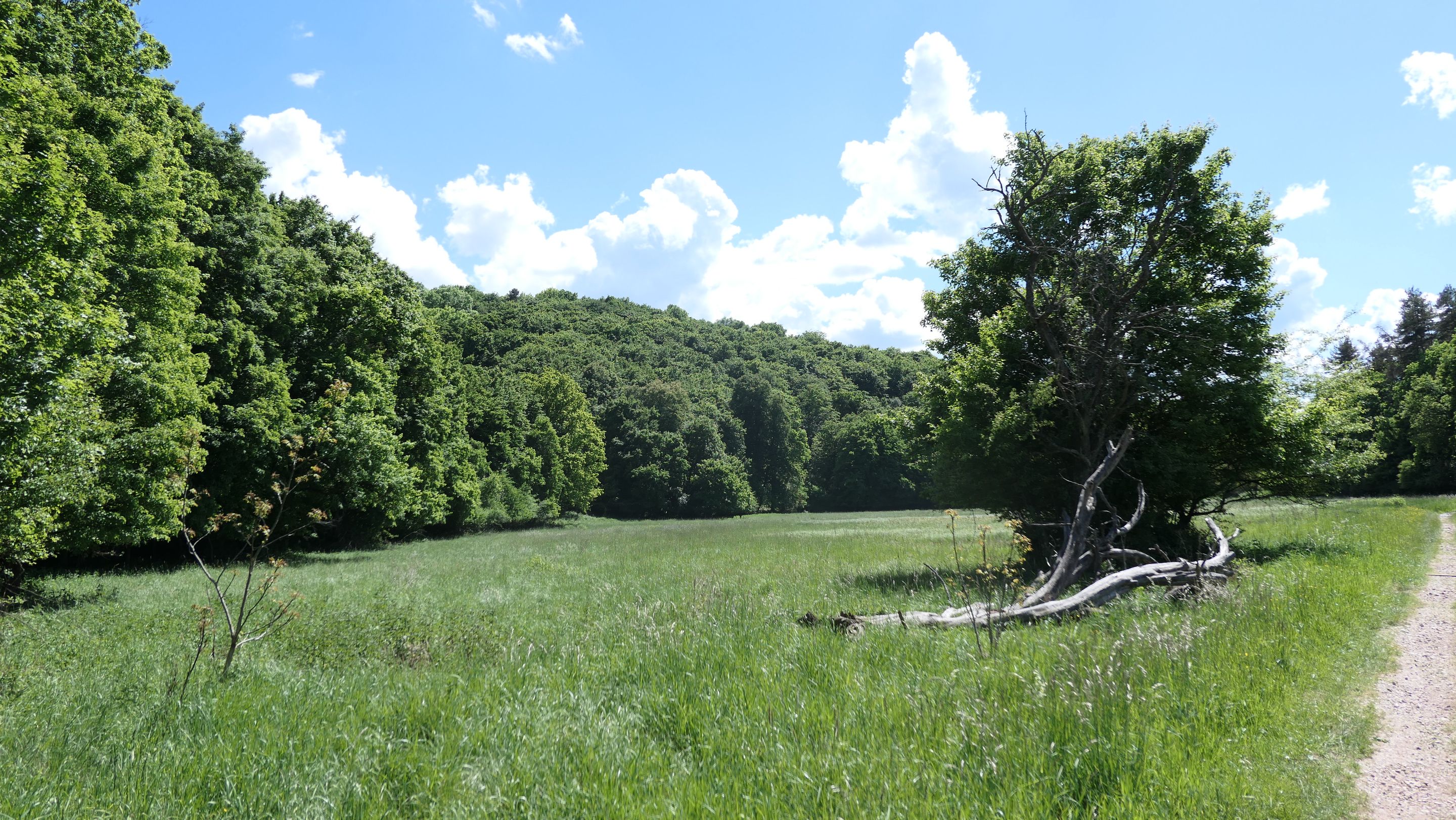
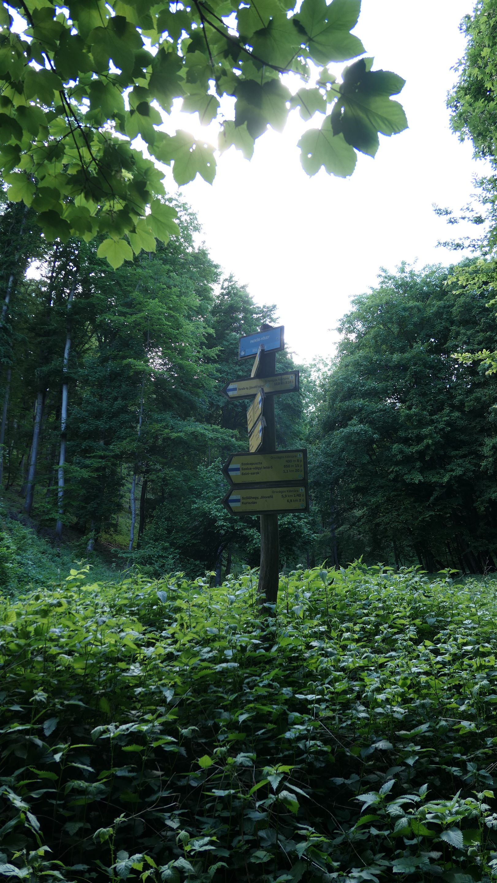
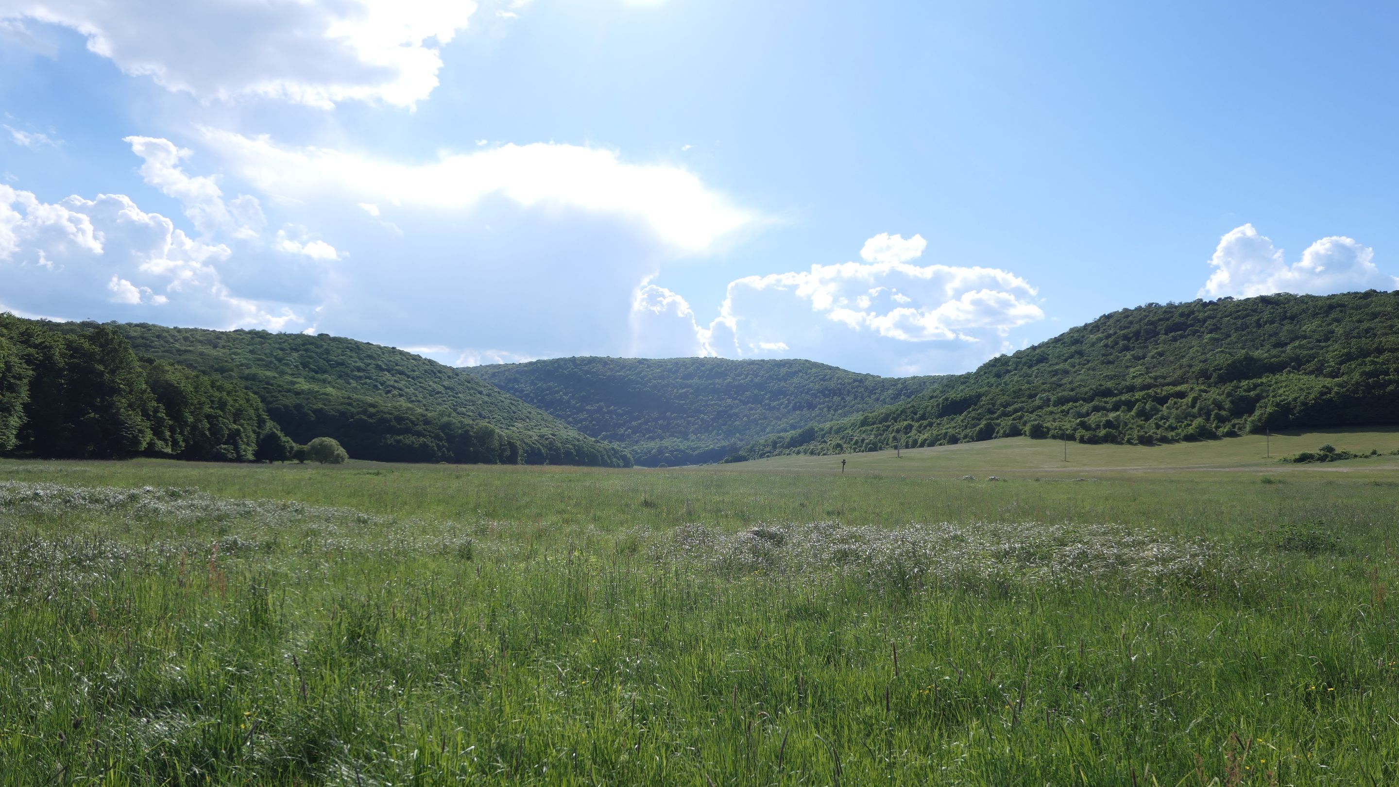
Soon I have reached to the top of another hill, which was the last checkpoint of my hike and from here there would be no more forests, but open meadows and hills all over the place!
Végre magam mögött tudhattam a sáros, felszaggatott utat és szépen zöldellő erdőbe kerültem megint és volt időm nézelődni is mivel már nem csak az utat kellett magam előtt nézni. 😊

Hamarosan felértem egy újabb domb tetejére ami az utolsó része volt az utamnak és elhagytam az erdős részeket. Innentől már csak mezők és dombok vártak rám!
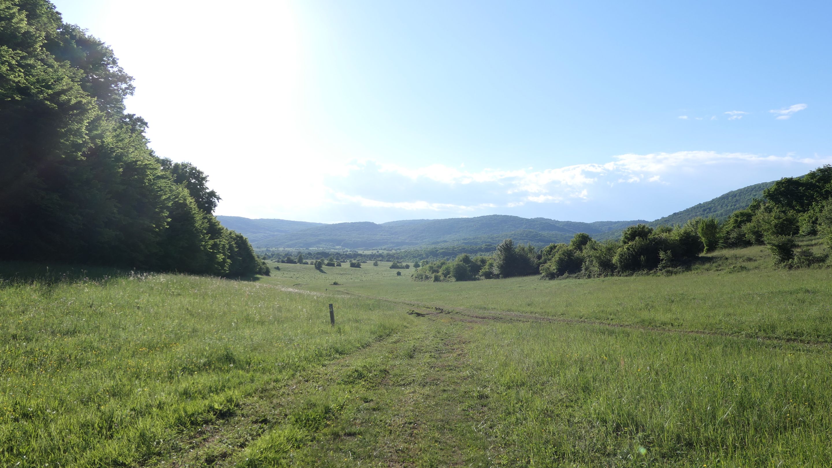
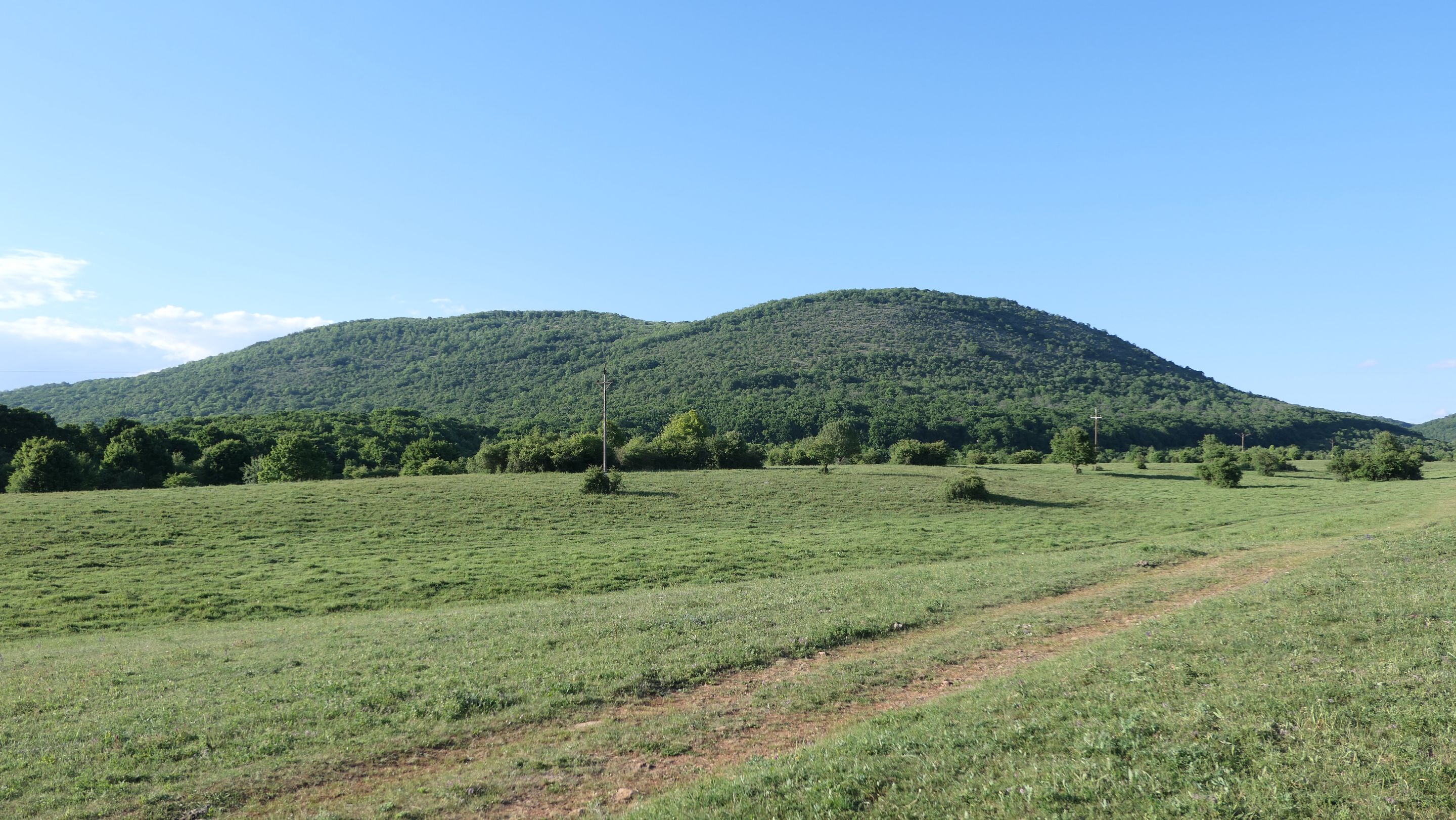
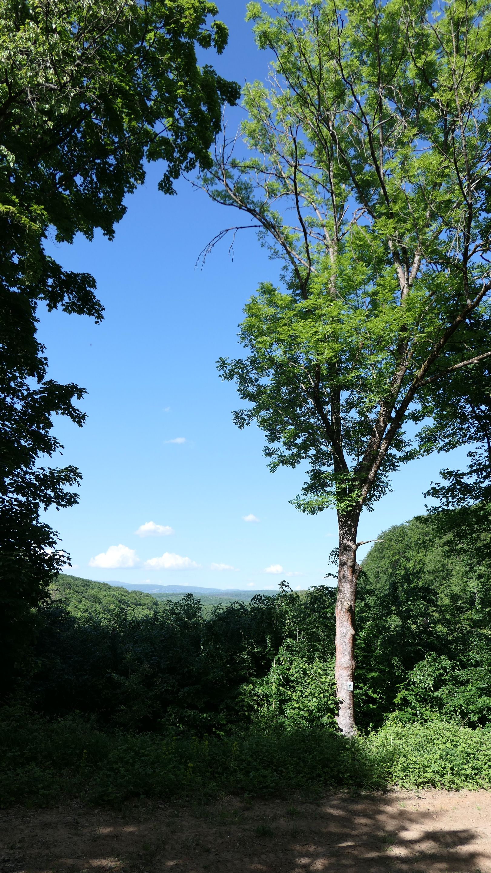
Those hills was enourmous compare to our flat country and climbing them would be a challenge on its own. I loved all the surroundings and the calmness of the scenery. Slowly I will reach my final destination, which will be the village of Jósvafő. 🤗
Azok a dombok ott hatalmasnak hatottak mivel az országunk is elég lapos és ezek megmászása újabb kihívás lenne. Nagyon tetszett a környezet és a csend ami vele járt. Nemsokára elérem a végállomásomat ami Jósvafő lesz. 🤗

I have reached the edge of the village, so I will post some nice pictures about it. I remember we traveled into this village when I was child with my elementary class to see the famous caves system nearby called Aggteleki Cseppkőbarlang. 😇
Elértem a falu határát, így pár képet küldök róla. Emlékszem voltam már itt még kiskoromban osztálykiránduláson, amikor a híres Aggteleki Cseppkőbarlangot jöttünk megnézni. 😇
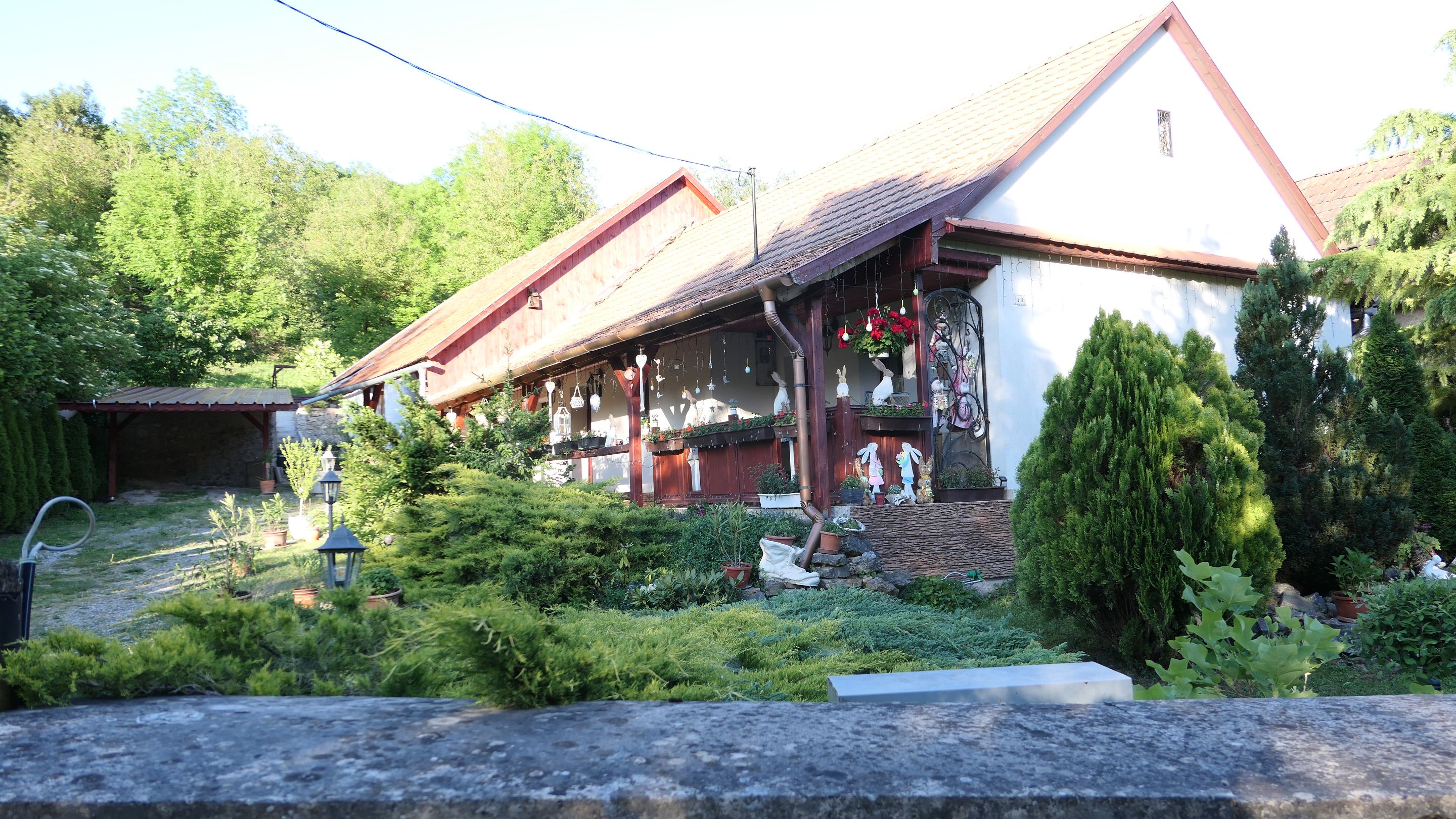
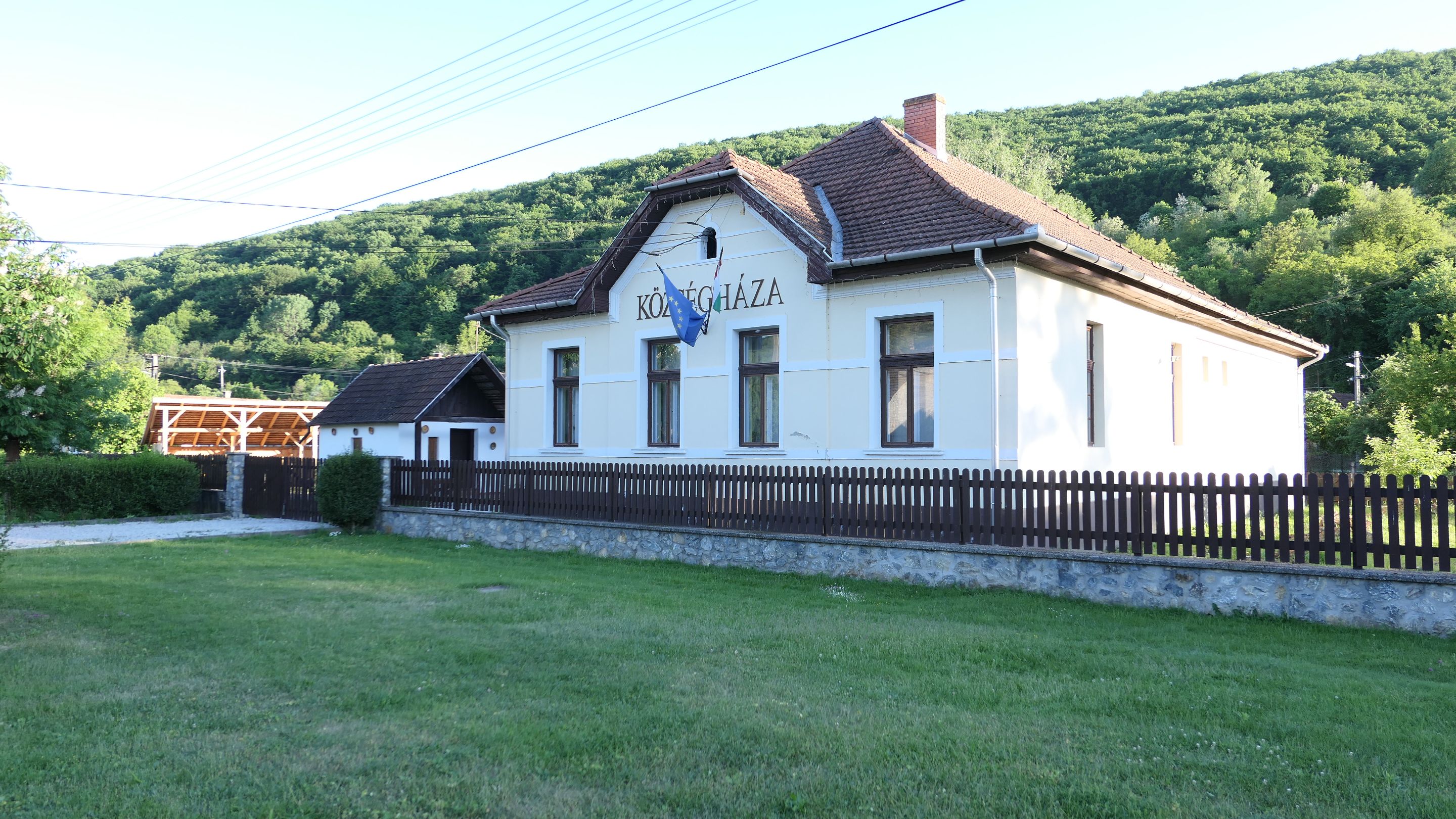
The village was beautiful and there was lot to see, but unfortunately I had a bus to catch to take me back to the rail station where I started the hike in the morning, so I didn't had too much time to look around, but next time I will start from this village for another trip through the National Blue Trail.
A falú gyönyörű volt és sok a látnivaló, de sajnos sietnem kellett, hogy elkapjam az utolsó buszjáratot, ami visszavisz majd a reggeli kiindulóponthoz, de így maradt még látnivaló bőven. Mivel legközelebb innen fogok indulni akkor tüzetesebben szétnézek majd.
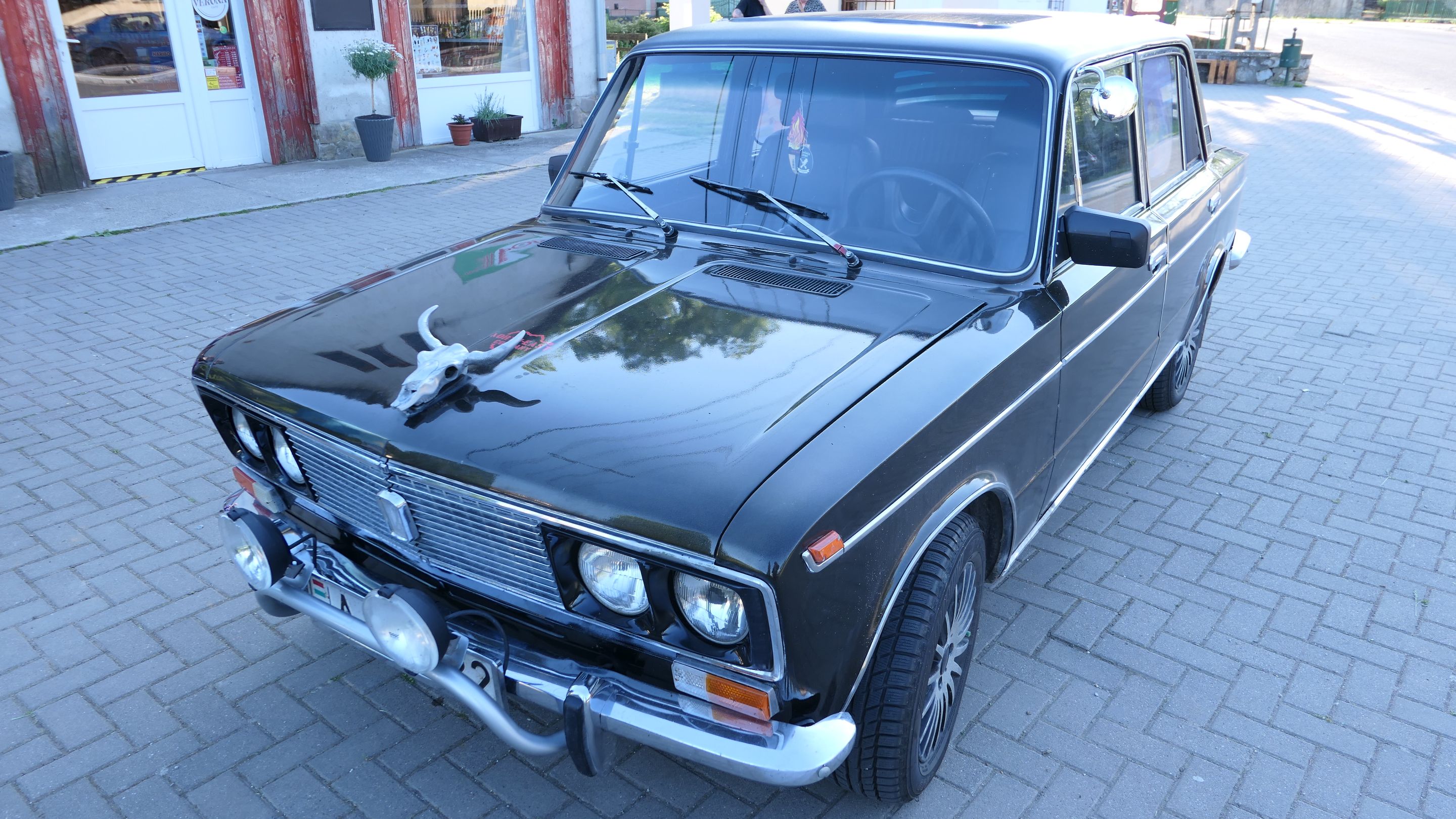
Finally there is a beauty who belongs to one of the locals and it is our "national car" from the communism! 😂
A végére hagytam egy kis helyi szépséget a majdhogynem 'nemzeti' autónkat a kommunizmusból! 😂
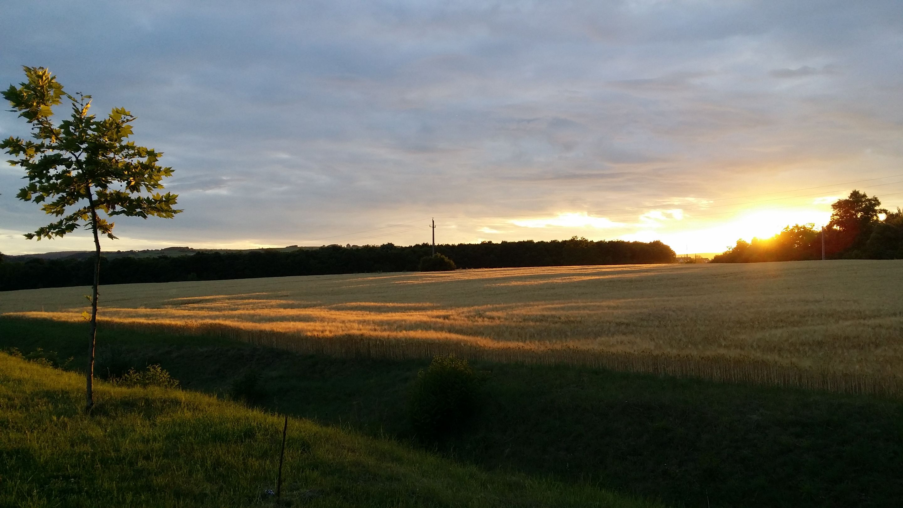
There will be a little extra for the end, because when I reached my hometown the sun was about to go down and I had to take a picture of it, which was absolutely stunning in my opinion! 😇
Mire hazaértem a nap már majdnem hogy lement, de még idejében sikerült megörökíteni ezt a szépséget! 😇
I would like to thank you to your patience going through reading my second post and I hope you will follow me for more! 🙏
I would happily answer to any kind of questions about the trail or my experience, so feel free to write me anything below. 😉
I used my Lumix DMX-LX15 camera to take the photos! 😊