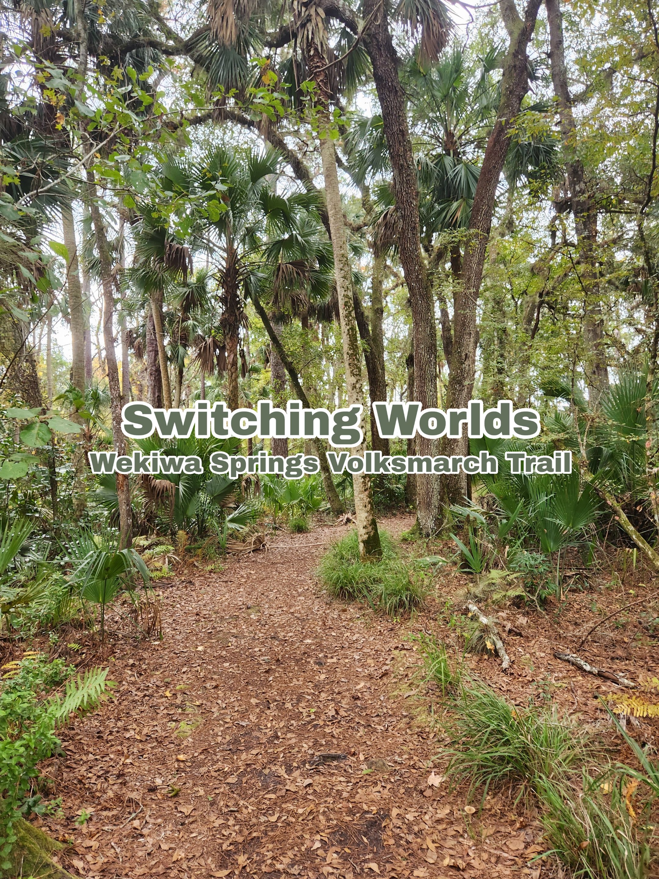
This one was an eventful one. At one point it looked like I'd get stuck in a huge storm, loud sounds in the woods and even taking the wrong path. If nothing else this one got the heart pumping in certain sections of the trail.
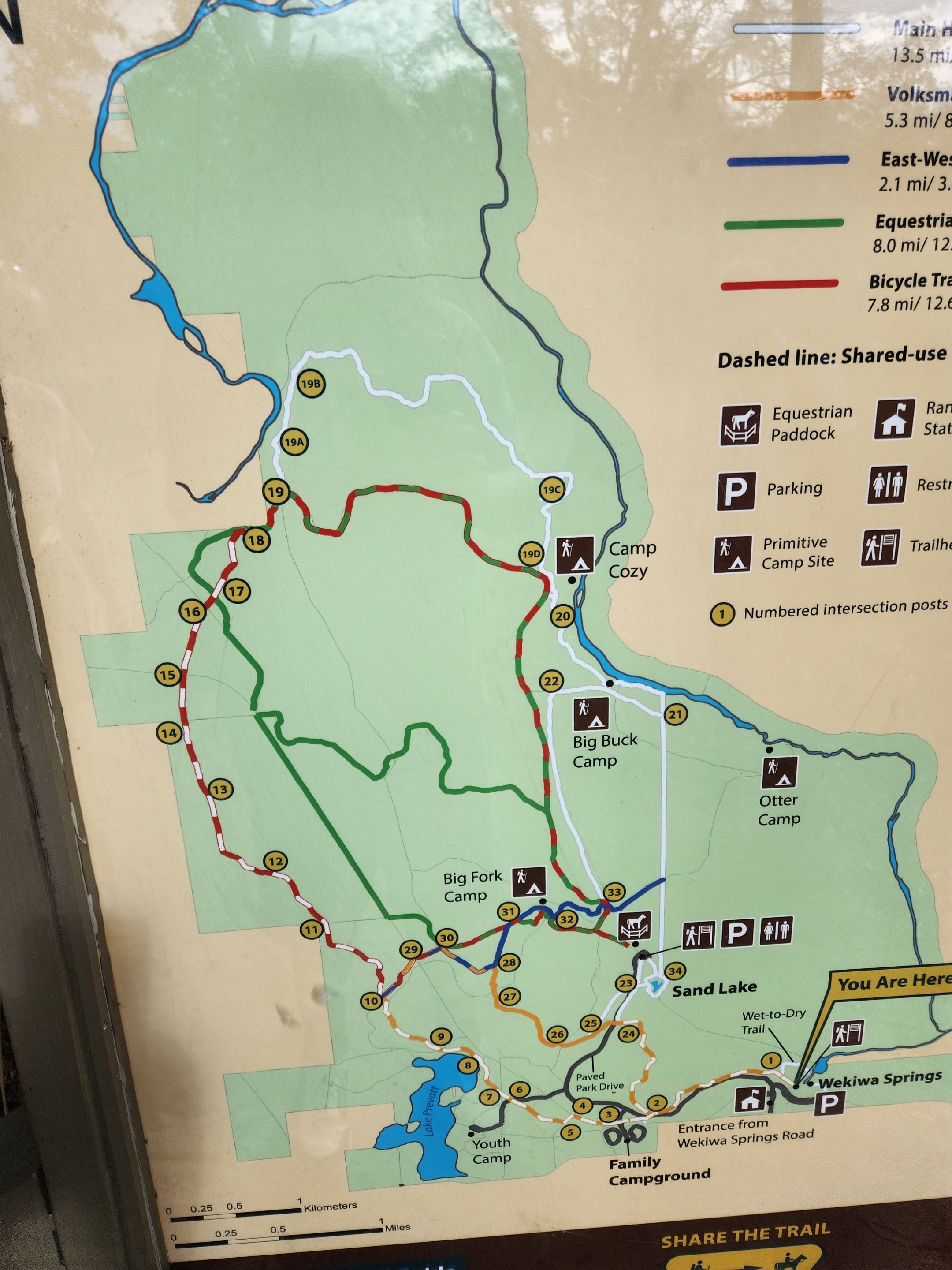
There are a couple of different trails at Wekiwa Springs. Some are for hiking, others for biking or horse riding. There are even a few cut-in service roads for the rangers that also serve as a bike or safer path if you need one.
The app I'll be using AllTrails shows quite a few trails off the main one, making it easy to find an alternative path if needed. I’ll get into a little more on the way someone might end up going off the trail a bit further on. It was for sure an option I was considering taking at one point.
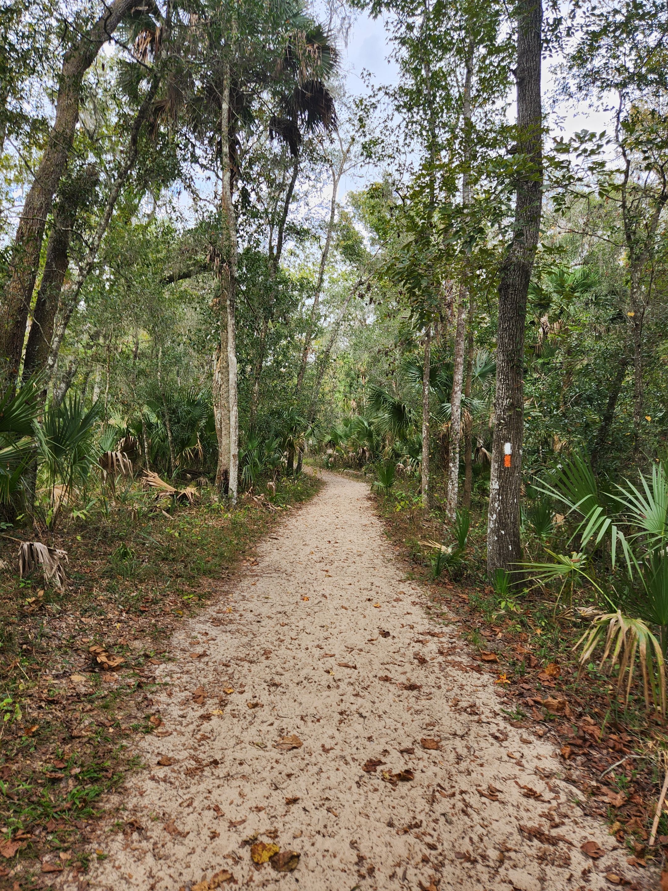
The trail here uses a few different colors to indicate the direction and trail you are on. While the map shows my main color as yellow the spray paint used on trees looks a lot more orange to me. Thankfully they did not use orange anywhere else. I could kind of tell there is a lighter yellow color behind the orange.
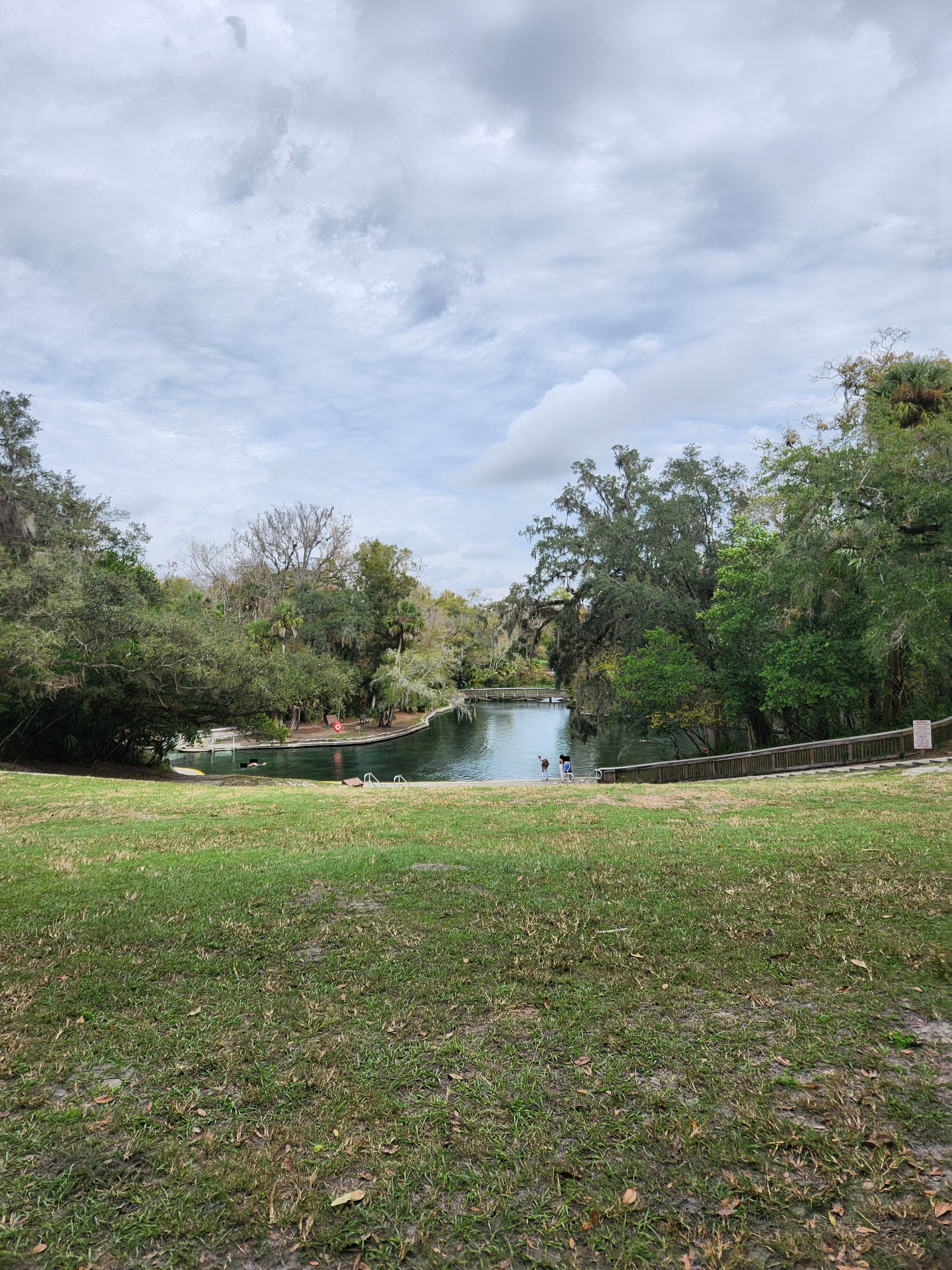
Many of the people who pay for a day pass to Wekiwa Springs are not even here for hiking or biking. It was a rather cold day when I went here so, shockingly, very few people were attempting the water. I have no clue what the temps in the springs are. It was certainly not enough to get most people interested in taking a dip.
While after this hike I sure could have used a dip. With all the bugs that were brought back with us and it being a cooler day I did not attempt going into the spring. Perhaps if I go again at a much warmer time of the year this might be an activity, I take part in.
There was also an information center that showed the local wildlife. This includes bears. There are also warning signs that bears are in the area. They also do not hibernate during the cooler months here.
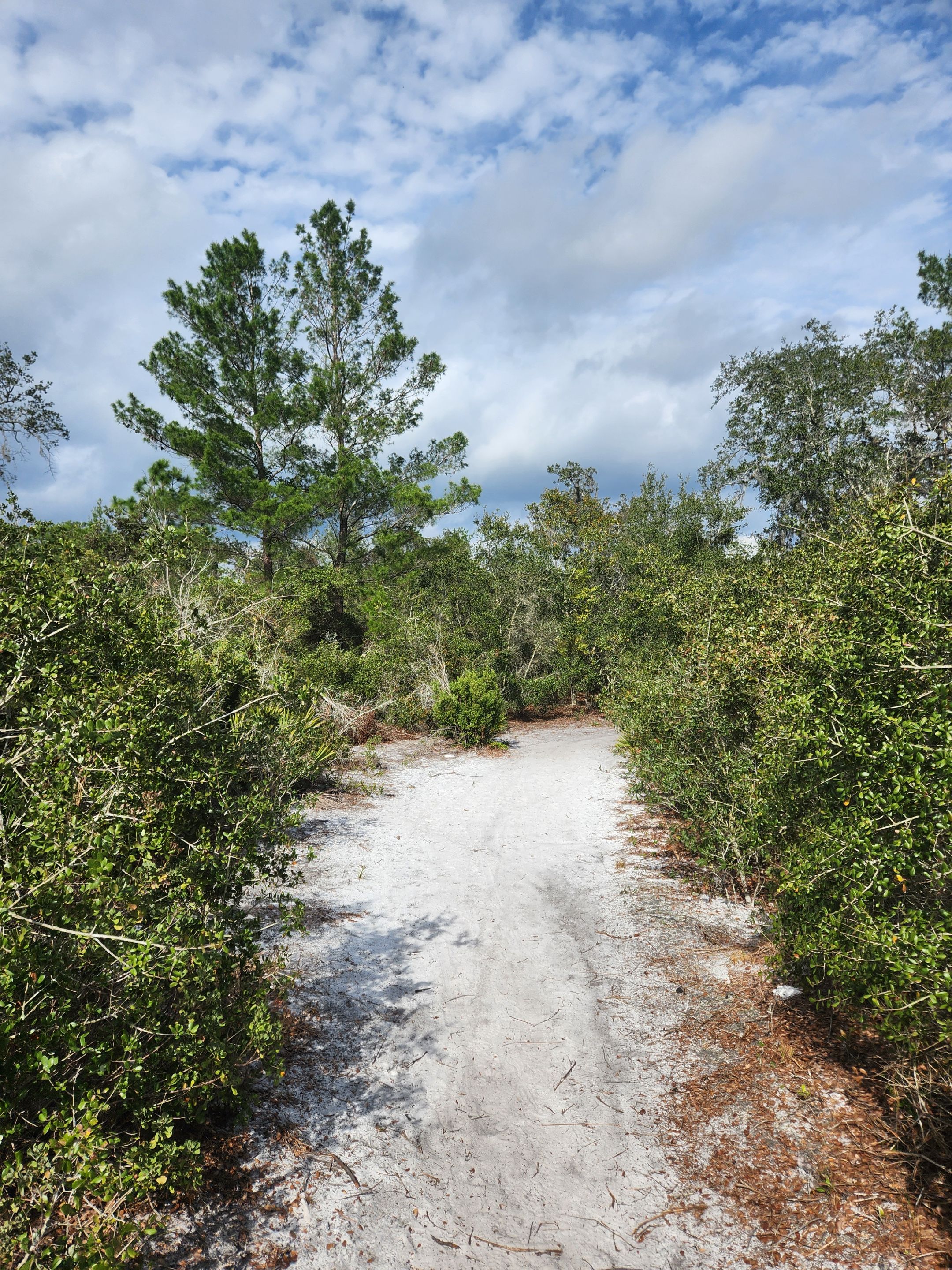
On this side of the park, there is a single trail leading in after the springs area. You would think one could not possibly take the wrong path so early in. Thankfully everything somewhat loops so you are not as lost as you could be on other trails if you go down the wrong way. It, however, can make things a little confusing if you miss the trail markers or they change their second color on the many forks you end up running into on this trail.
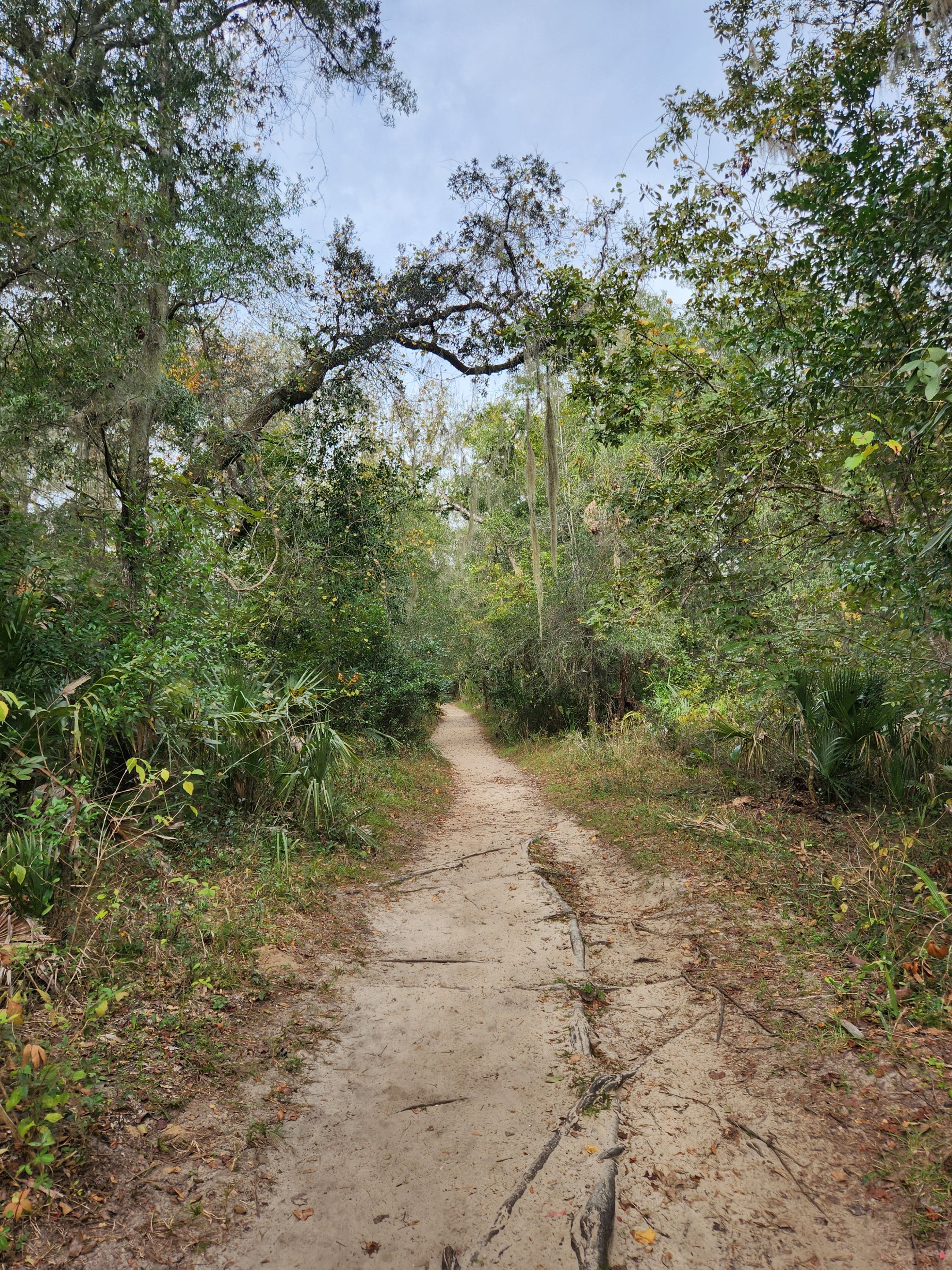
The start of the trail is quite a worn-down one. With lots of tree roots, you must be mindful to not trip over. Some of them even have a bit of a drop-off if you are not paying attention. I lost count of how many times the front of my shoe hit the root. Thankfully I managed to stay upright.
Off the trail I was taking was a wooden bridge. I ended up walking down it a short distance but since this was my first time here, I was not feeling nearly as adventurous to keep going down it.
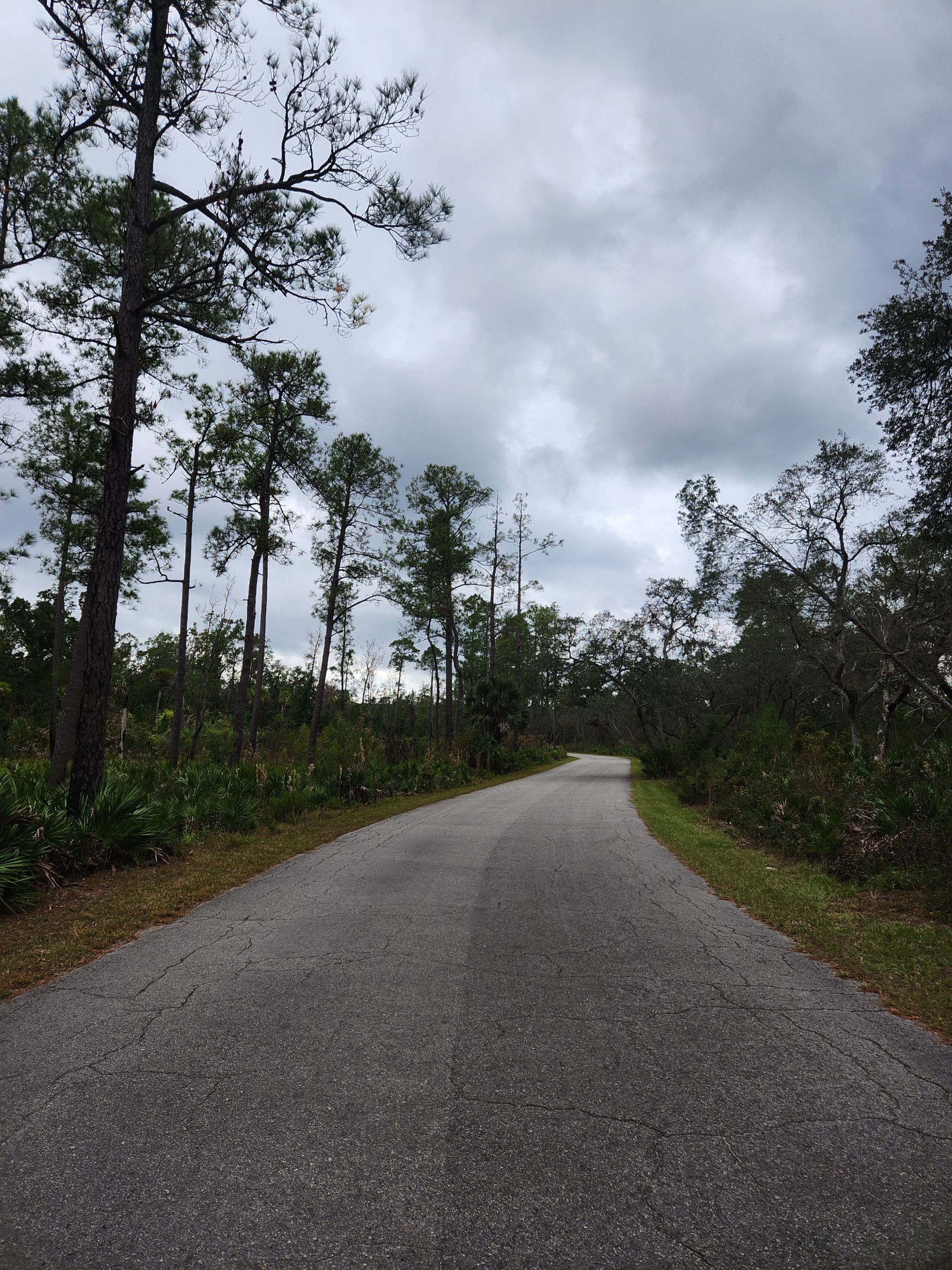
One thing I did notice is the first section of the trail follows the road quite close. The trail is often dipped down a decent amount with some trees in the way, so you are only getting part of a few of any cars heading towards the springs.
Certain parts of the trial looked like no one had walked on them in quite some time. They were at least nice and compact without very few tree roots. The trail did sometimes get a little skinnier than I was expecting.
Some parts had some deep sand on them. I could see a couple of deep tire marks from the bikes. I was somewhat shocked that along a large amount of the trail, I kept seeing bike trail makers. Someone decided they wanted the harder hiker trail and not the biker trail from the best I could tell.
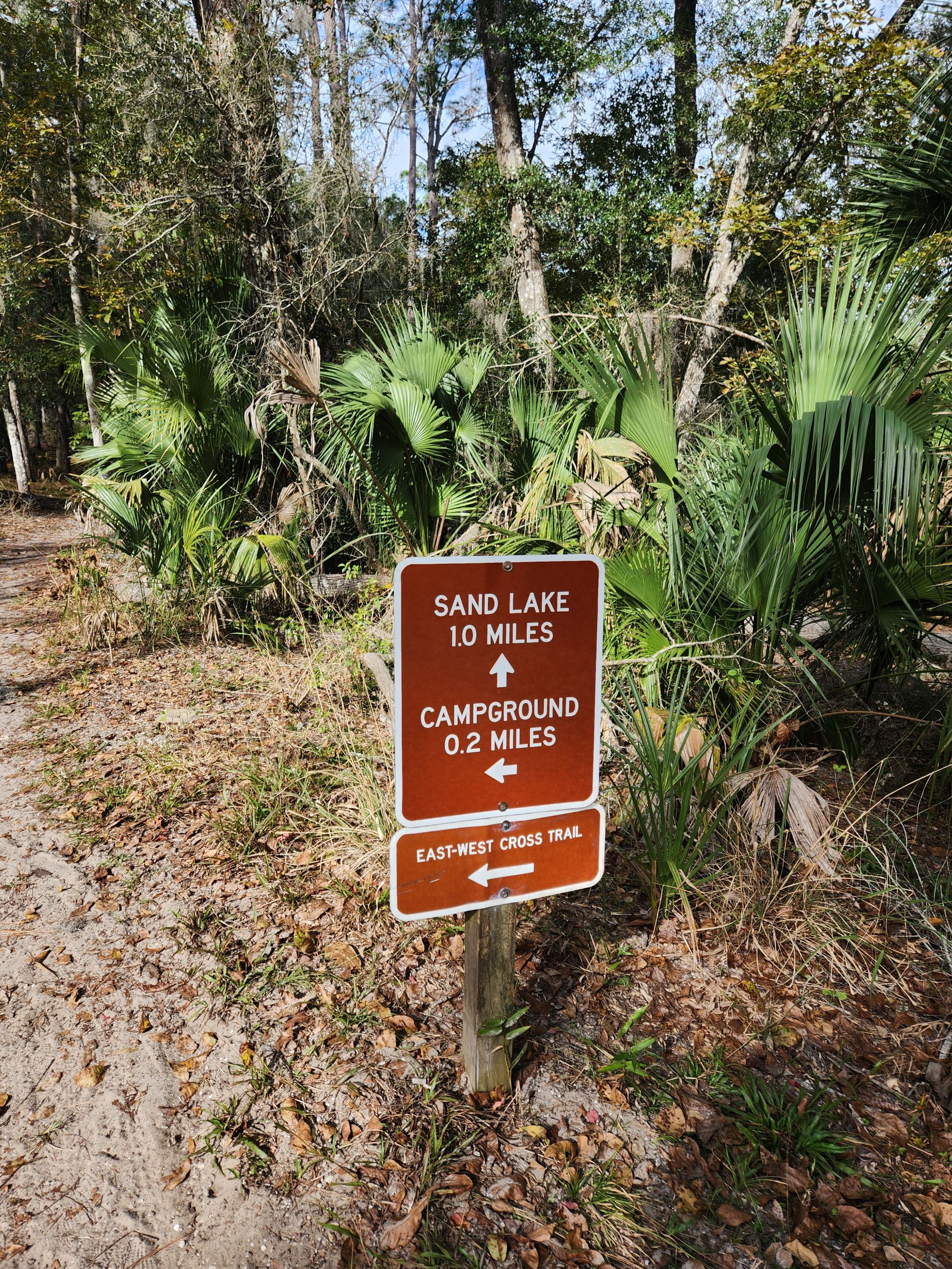
The original plan was to take the path that leads up to Lake Prevatt. I was expecting there to be some kind of trail leading down to the lake itself and hopefully, some benches to take a short break and enjoy the surroundings.
That is not, however, how things went down. I knew on the app I use I was coming up to the fork I needed to take if I wanted to go up to the lake first instead of going the other way and then hitting the lake on the back half of the hike.
I missed the fork since I did not see it at the sign. I ended up going slightly north-east instead of west. I thought I took the correct path as there was a sign for a lake. Turns out the wrong lake. I would also not be going down the side path to Sand Lake.
This also highlights the dangers of being a little more reliant on applications on a phone than getting to know the actual map for a trail before heading out. I should have known that was the wrong lake. Which would have led me to look a lot harder for the trail that headed towards a campground and the original way I had intended to go.
I did realize this mistake about five minutes or so after it occurred. While I could have turned around and gone back the way I came and then gone the way I wanted. It’s just one giant loop so it did not matter.
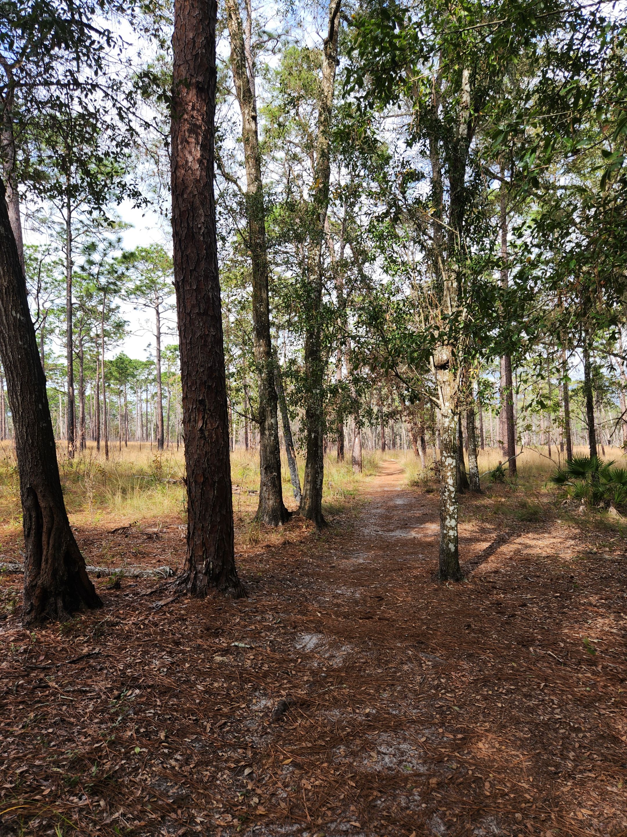
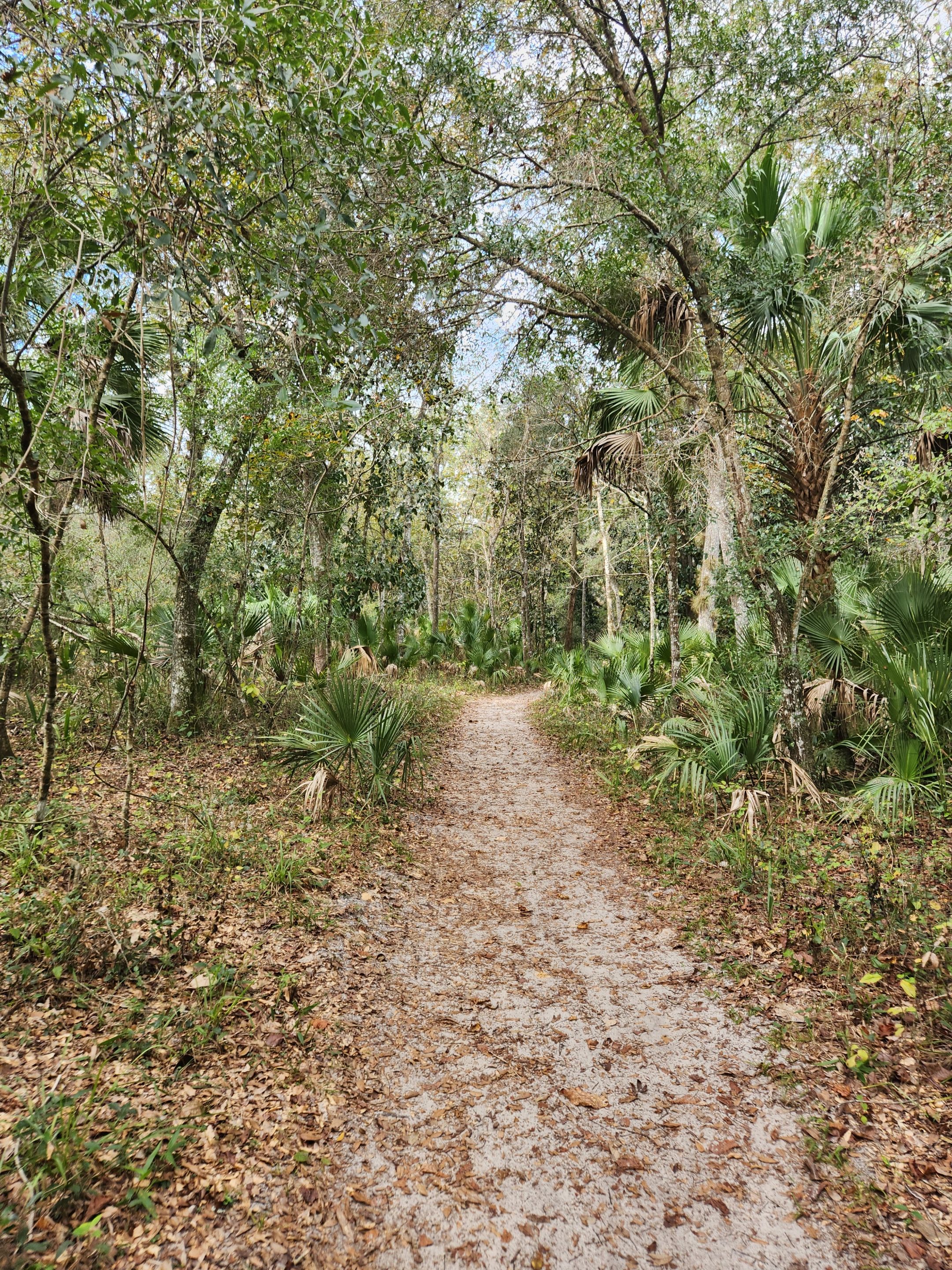
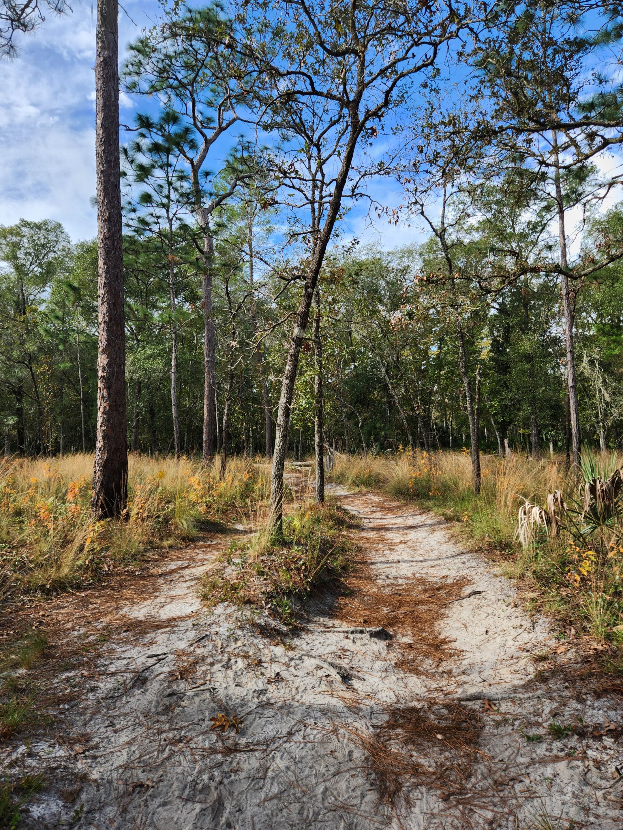
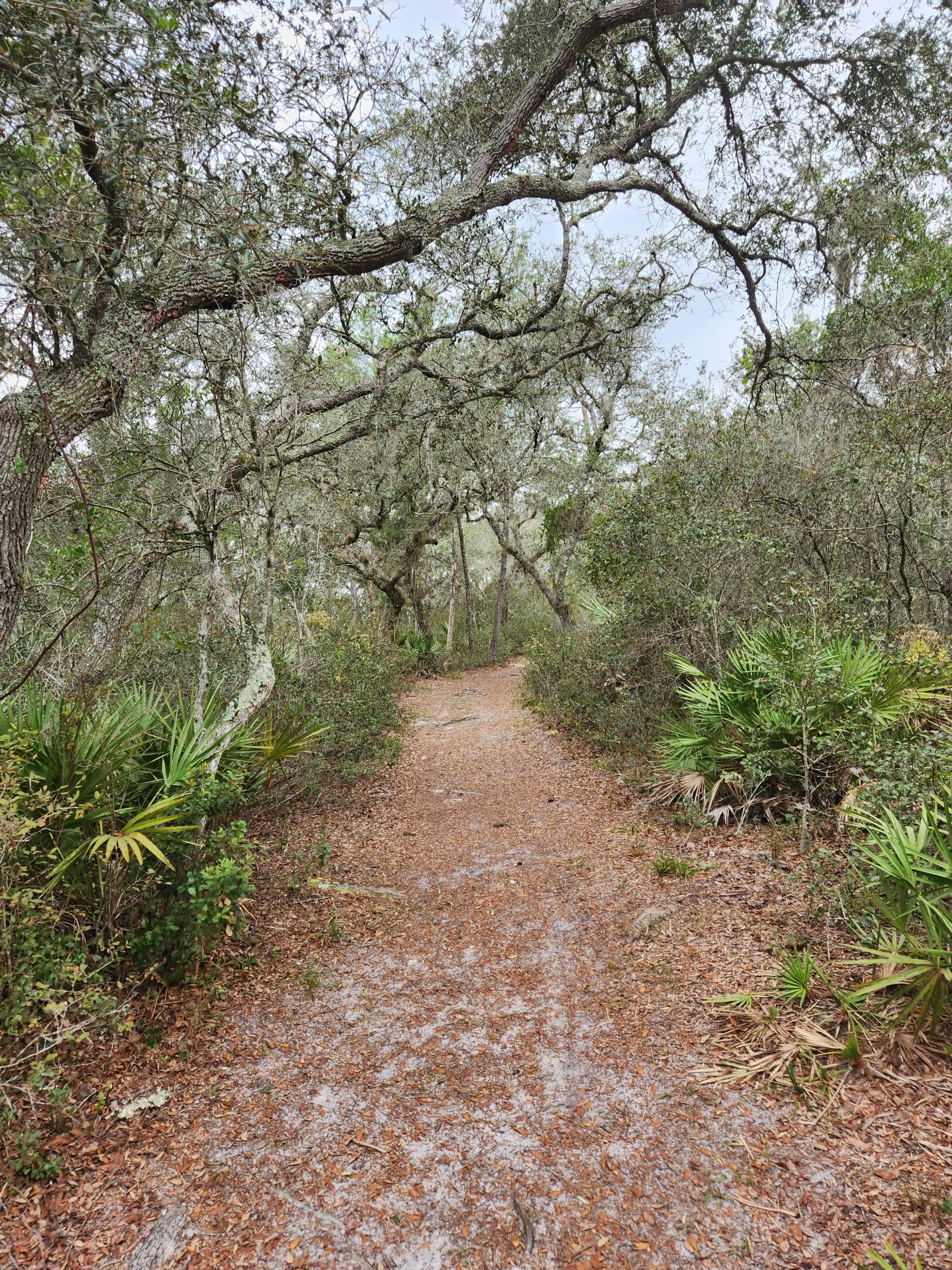
Part of the fun of this trail was just how much the surroundings would change every so often. The start was in a deep forest once you got past the springs area. While I was still in the forest it was quite thinned out and some parts of it turned into grasslands.
At least this section of the trail made it quite easy to see any wildlife off in the distance. This place was supposed to have quite a few deer. I never noticed any. I was more concerned about running into bears during the thicker forest parts so I got to relax a bit more in this section since I could see so far out around me.
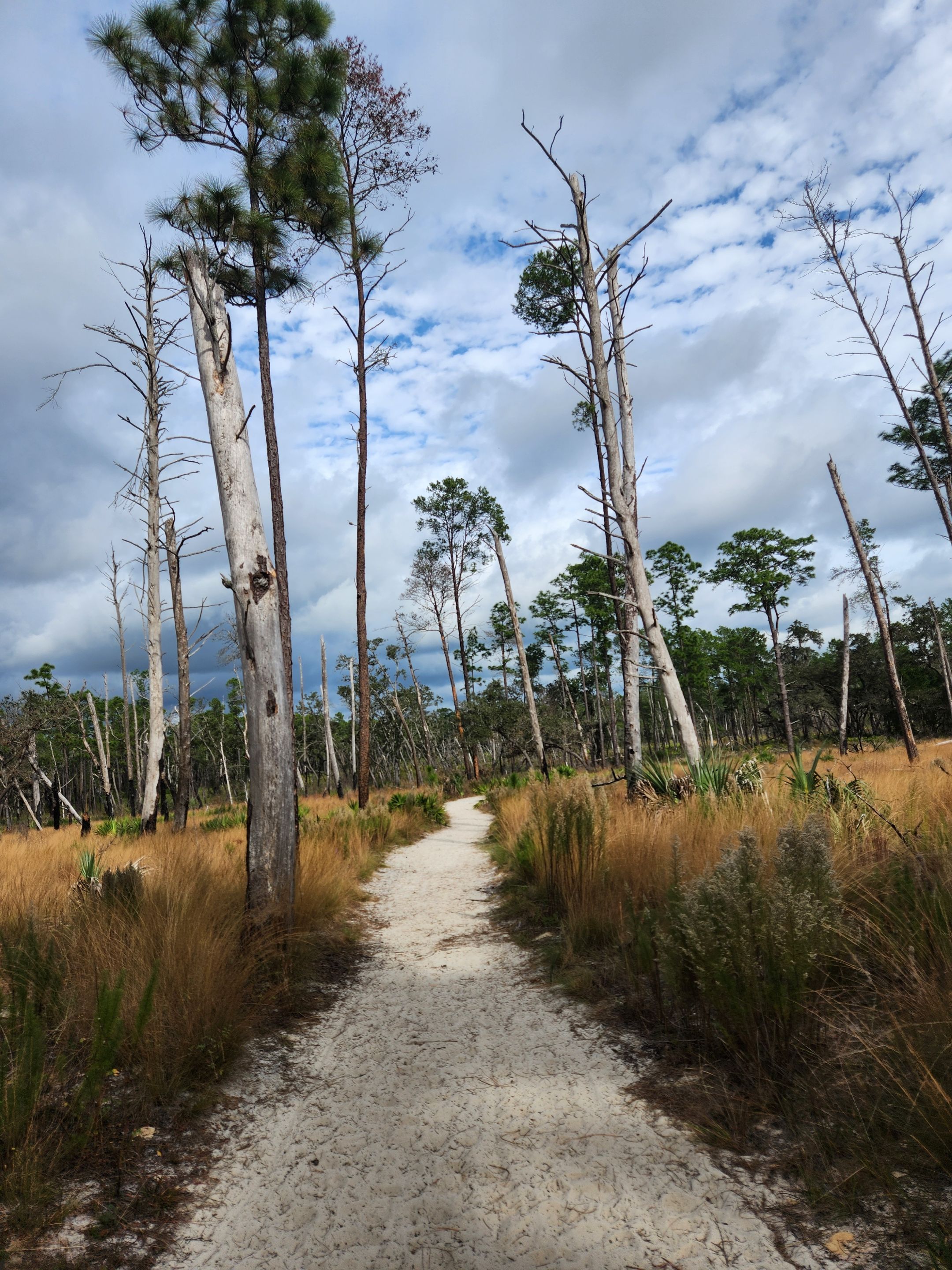
There were also clear signs of a fire at some point. I do know they do lots of controlled burns. I just don’t know if this area was one of those or if there was a lightning strike that caused it.
The cloud deck I could see off into the distance was also starting to get a little concerning. I was expecting quite a low chance of rain. The further I went along this trail the higher the rain chance seemed to be increasing. With how cold this time of the year is I’d rather avoid rain if possible. There is not much cover in quite a few areas out here.
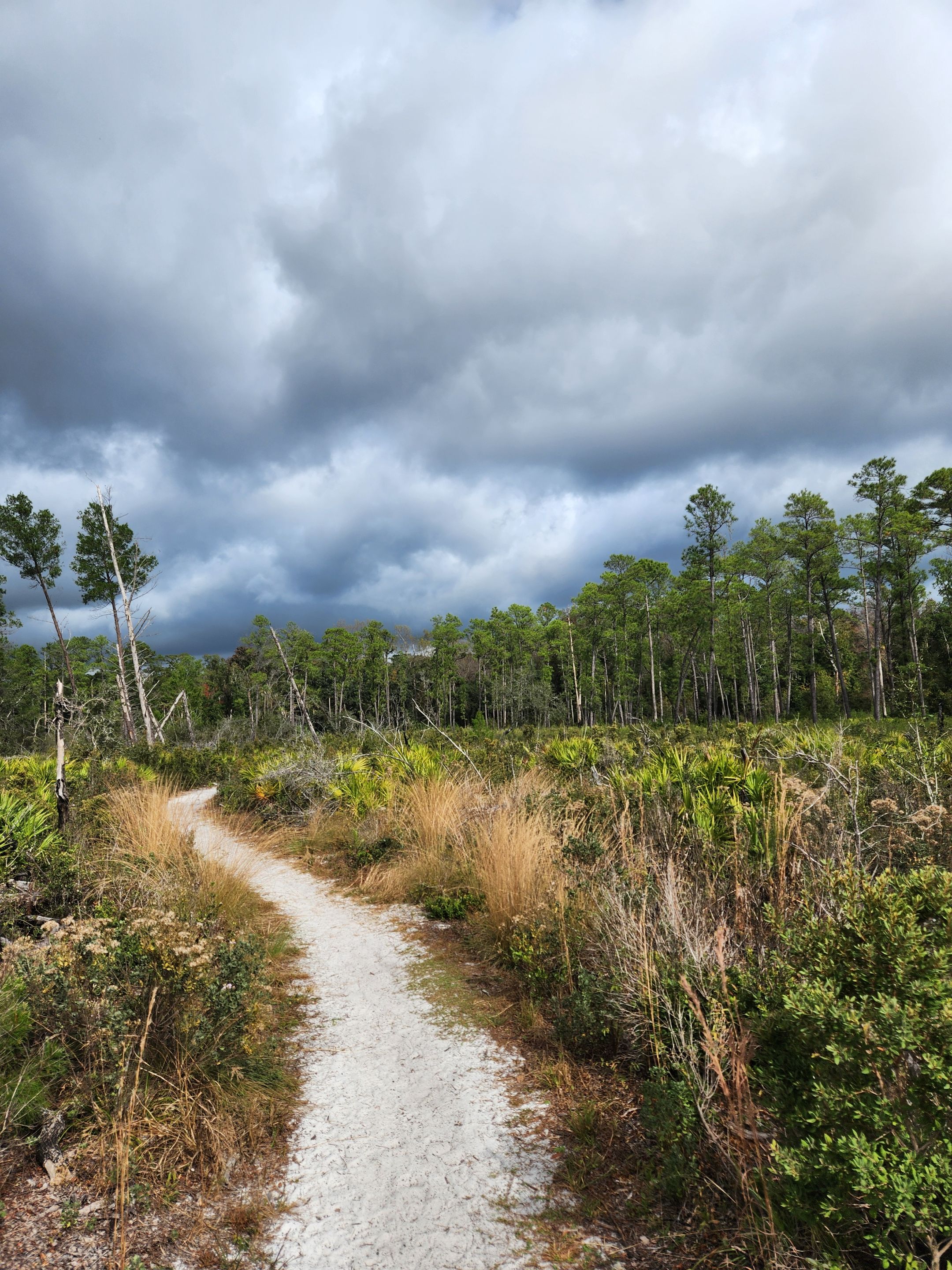
So, I kept a closer eye on the weather. In case there came a point I decided it would be best to turn around instead and attempt to head back. There did come the midway point at one point where if it was going to rain on me there was nothing much, I could do other than to finish the trail.
I was somewhat shocked that I only ran into three other groups while out on this trail. One of them was a solo person and the others had just another person with them. I don’t know if it was the cold or the chance of rain that was keeping people away. All I do know is I rather enjoyed the near silence and the sound of nature instead of the people around me.
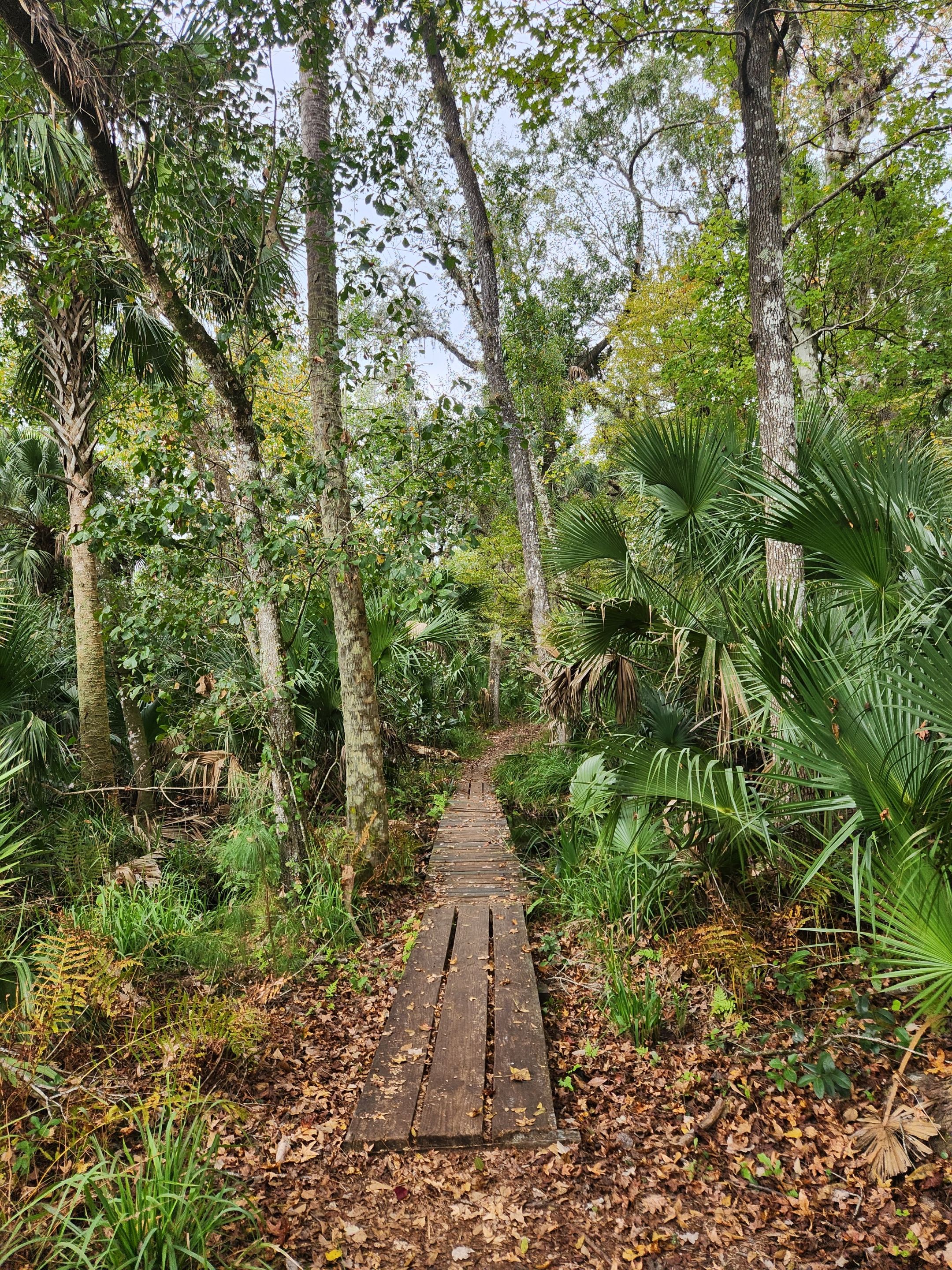
The second most sketchy part of this trail was having to cross a small stream. The boards were quite old and bowed down when I stepped on them. This would be the first of two such crossings with the second one having some broken boards. We ended up letting one person fully walk across the bridge before the next person attempted.
Occasionally, I'd pull out my phone to make sure I was still going down the correct path. As there would be a fork or a back road crossing. Some of the paths must have been either nature paths or someone going off the trail creating their own trying to get somewhere.
While it should have been as simple as follows the colors marked on the trees. More than once I noticed one of the colors was missing. Also, while going on this part of the route one of the colors would change.
There was also this bike or service road that I'd end up crossing a couple of times. Since there are bears in this area it’s kind of nice knowing these roads that I never noticed a car going down them are there. They also provide a shortcut to different locations. I was kind of shocked to not see anyone riding their bikes every time I had to cross one of these roads.
A lot of this trail was rather flat. This was perhaps the biggest hill I ended up running up on. Thankfully this was not one of those inclines that require you to need a break once you get to the top of it. While I'm not the biggest fan of hills it was nice to have a little challenge of elevation in my way. It ended up going for a little way with some turning and turning before I got to the top of it.
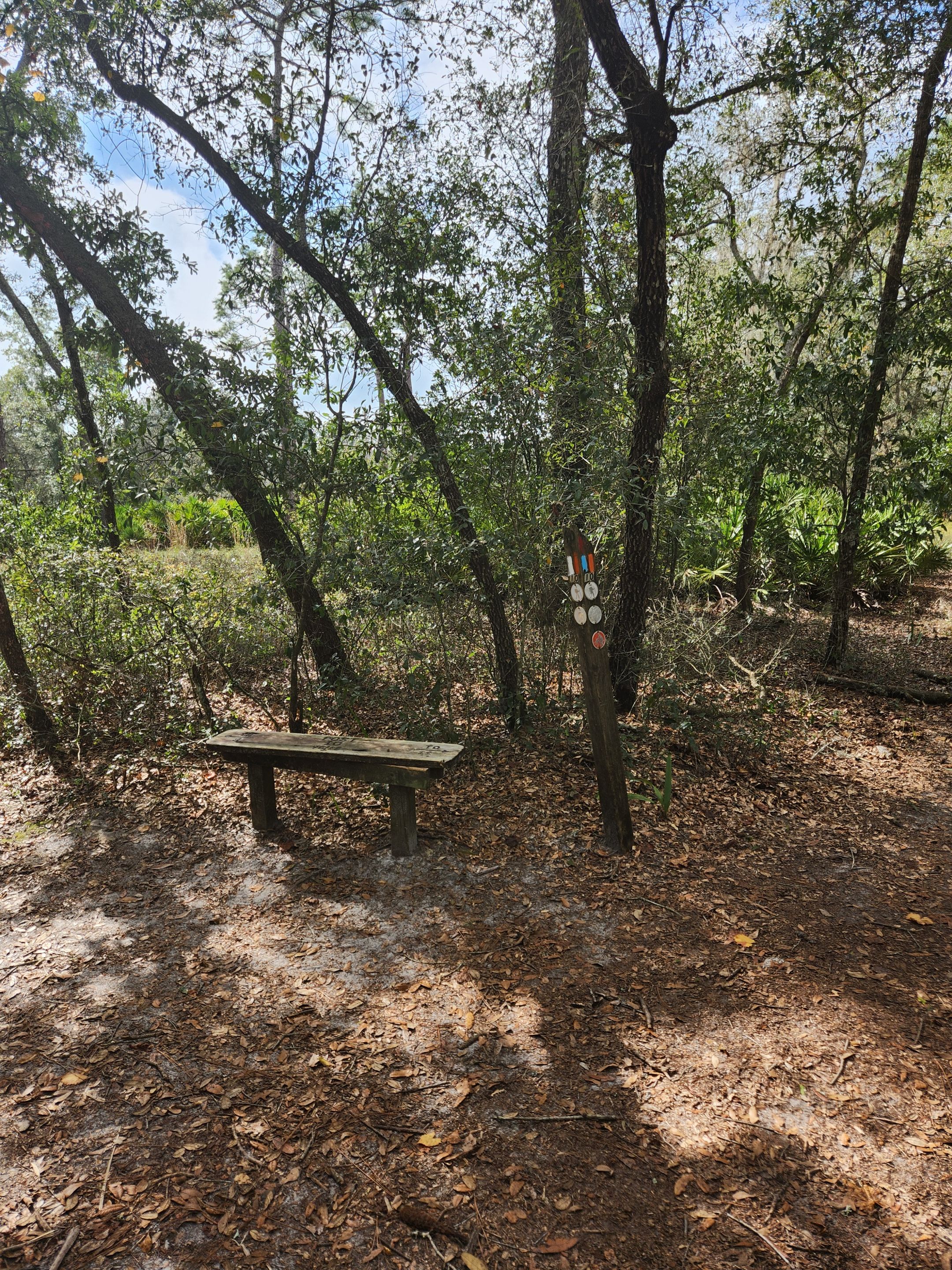
There were a few benches on this trail. They loved to put them on some of the forks. Since I was unsure of the weather and this one was not that long of a trail, I decided to skip over most of them.
I did at one point get a couple of drops of rain on me. I for sure thought it was going to start pouring. Thankfully it did not. I was, however, ready for it and that means most of the time it’s not going to happen. It sure did tease me like I was going to get quite the downpour on me before the clouds started to disappoint.
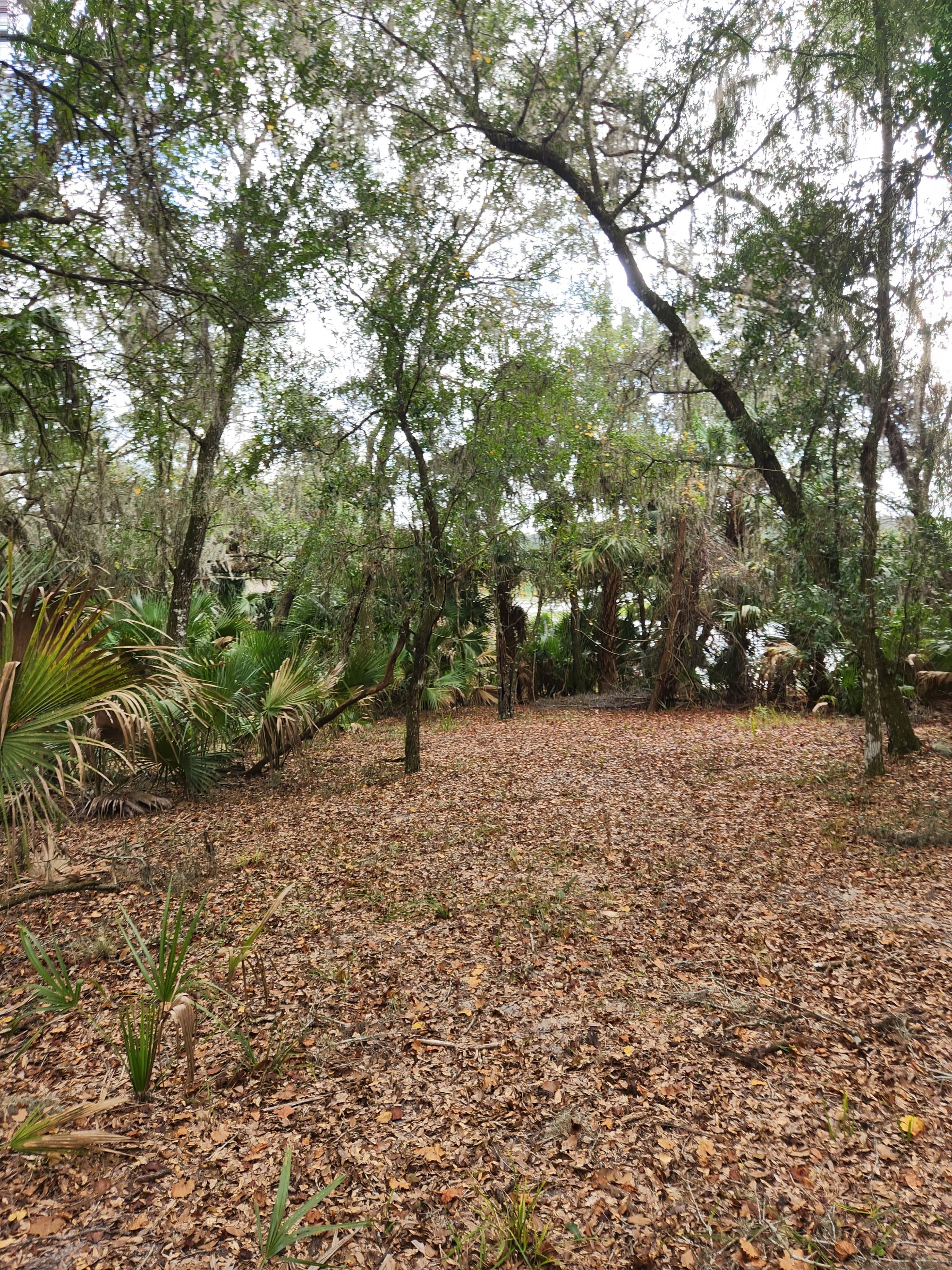
We were coming up on the lake we wanted to stop at first and I even got a bit of a view of it. The trail then dipped back away from it. I was looking for a trail to lead us off closer to the lake as I was looking to take my first real break and drink some water.
I then noticed on the trail some bear droppings. It was close by to what must have been some berry bushes. It also looked somewhat fresh. This put me on quite a high alert. That is when I noticed the hairs on the back of my neck started to stand up.
Then I heard it. Loud crunching sounds of twigs and trees snapping. This was not the kind of sound a small animal makes let alone a human makes. This had to be the sound of nothing other than a bear.
I knew according to the map I was going further and further away from the lake. I was rather tempted to turn around and head for the service road to get out of here. The sounds, however, sounded like they were towards the lake a bit behind me. I knew at that point I had to press on.
While I did not run. I did quickly walk for about half a mile or perhaps even longer. I wanted to put some distance between me and the only thing I could think of would be the loud sounds of things snapping.
I never saw a bear with my own eyes while out there. It also did not take long before I stopped hearing the sounds. I did end up seeing my third and final group of people and I gave them a warning of the loud sounds. They were wearing headsets so I'm sure they would not have noticed the sound of a bear near the lake. This is why you never wear headphones out on a trail like this.
A little chunk of the remaining trail before reconnecting to the part I already did to get out of here was uncompact sand. I could tell a few bikes attempted and must have gotten stuck in this section.
My heart was still somewhat racing from what transpired near the lake. I’m a little sad I did not get to fully see the lake. I guess I now know why there was not a direct path with a picnic area down at that lake. There must be quite a few animals that drink water from it.
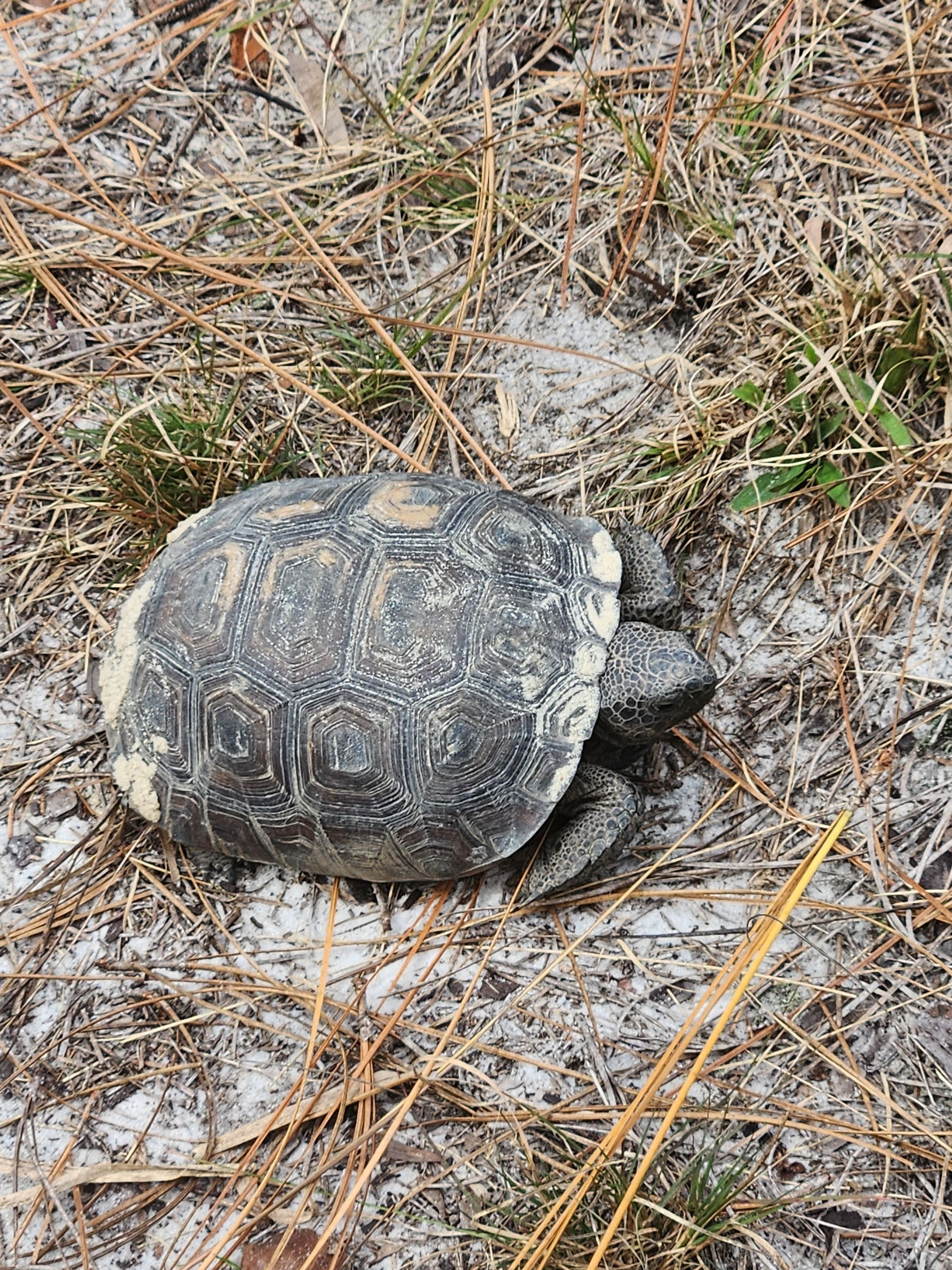
While I did end up seeing a turtle and some birds along the way. That was in terms of animals seen with my own eyes. I’m still certain what I heard was a bear but as far as I'm concerned, I'm fine keeping it unseen and moved past.
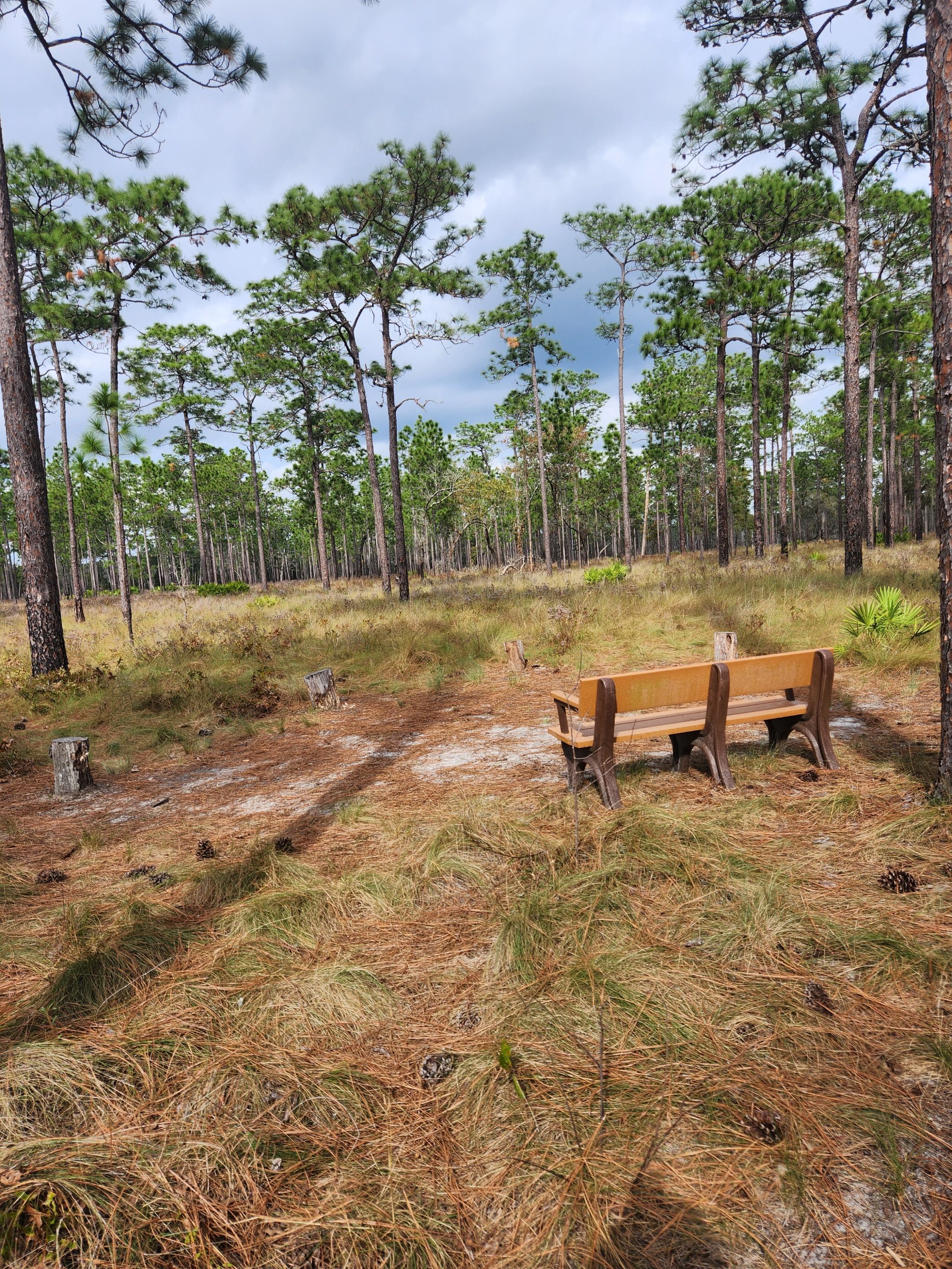
Towards the end of the trail, I missed the fork to go to the lake that I wanted to first be where some campgrounds for trailers. There was a nice little area to sit down and just enjoy the view. I decided this was as good as any spot to take a break.
After about ten minutes it was time to get back up off the bench and go down the part of the trail that was just a couple of minutes' walks away that I had already been on that takes you back out to the springs and parking lots.
Along the way, the mosquitoes showed up in full force. I’m rather glad we missed out on them chasing us for the entire trail. It's clear bud spray will be needed if I ever go out here again. At least it was not much more of a walk before escaping them.
Final Thoughts
I felt it was the perfect time of year to hike in this place. It was a nice cooler temp for the most part and the bugs hardly bothered anyone. I was not expecting to hear that bear in the woods but that is why they have warning signs. While it ended up being a little more eventful than I was expecting I had an amazing time there.
It’s a shame they don’t have other trails around the same length that I went on. I could more than see people coming here and making their trail. There is also a secondary parking spot that seems to be more set up for people on bikes or horses to take.
Other Content
Information
Photos were taken and content was written by @Enjar about my personal experiences in the real world away from the computer at home.